Cold Weather Continues Into Monday Warmer Weather Arrives Tuesday
Weather in 5/Joe & Joe Weather Show Latest Podcast
Cold Weather Continues Into Monday Warmer Weather Arrives Tuesday
It was certainly a cold late winter day with clouds that were around thanks to a strong upper trough just to the east. We have two more days to go before warmer air from the west southwest takes over on Tuesday. Temperatures today were stuck in the low to mid 30s in many places. Some areas even saw some passing snow showers. Skies tonight should be at least partially clear and temperatures by morning will be in the 20s with upper teens in cold spots north and northwest of the coast.
SATELLITE
We are still seeing some patchy snow showers in upstate NY and Western Pennsylvania but elsewhere the radars are quiet and should remain so into mid week. Sunday we will see more sunshine and clouds with highs mostly in the 30s.
F5 WEATHER RADARS
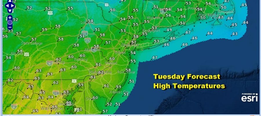
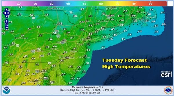
The warm up actually starts Monday in the upper levels of the atmosphere in the form of high clouds. Temperatures should reach the 40s though some areas could struggle around the 40 degree mark before a warm front passes Monday night. Temperatures Monday night probably won’t drop much. That takes us to Tuesday which should see sunshine and highs in the 50s. Lower 60s will arrive in Southern Pennsylvania, Maryland, Delaware and Southern New Jersey.
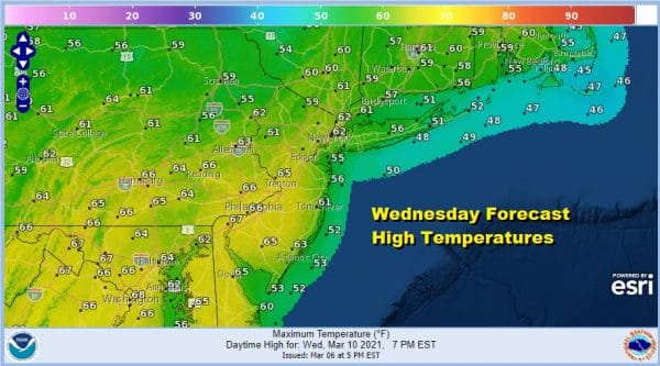
Wednesday we will see sunshine and temperatures should go even higher with most highs in the 60s. The exception will be along the coast and south facing shorelines where the sea breeze will take hold and keep temperatures at least 10 to 15 degrees lower.
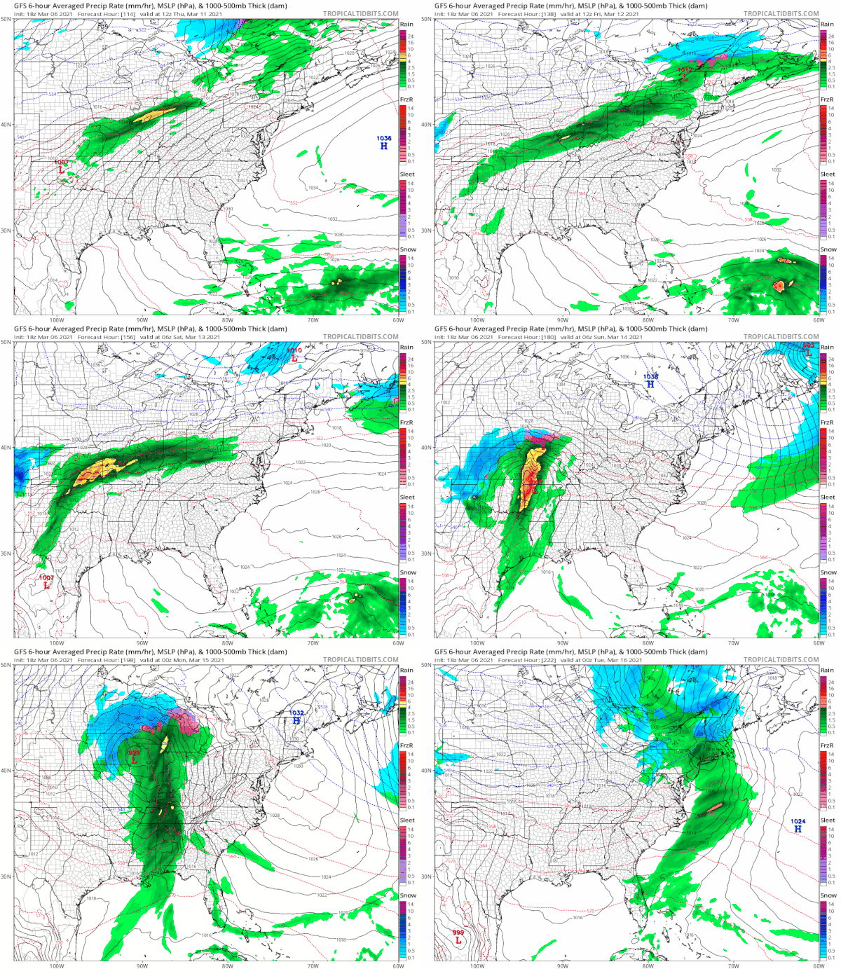
Warm air and southwest winds will continue through Friday which means both days will feature some sunshine with highs in the 60s. Some warm spots inland could reach 70. Coastal areas will have to contend with the sea breeze. No rain is forecast through Friday as the next cold front passes late Friday night or early Saturday.
Perhaps there could be a little rain with that front but we may have to wait until next Monday for a more important cold front and a better chance for showers. Some hints of colder air and a colder overall pattern are showing up on weather models for the last 10 days of March. This may be the last chance for snow lovers to see some accumulating snows and only if the pattern sets up perfectly. Otherwise it will be annoying shots of cold air coming at a time when everyone is itching for spring to get underway. It is always a struggle in the Northeast!
BE SURE TO DOWNLOAD THE FREE METEOROLOGIST JOE CIOFFI WEATHER APP &
ANGRY BEN’S FREE WEATHER APP “THE ANGRY WEATHERMAN!
MANY THANKS TO TROPICAL TIDBITS & F5 WEATHER FOR THE USE OF MAPS
Please note that with regards to any severe weather, tropical storms, or hurricanes, should a storm be threatening, please consult your local National Weather Service office or your local government officials about what action you should be taking to protect life and property.


