Clouds Lingering Showers Well Inland This Afternoon
Much Better Weather Thursday Into the Weekend
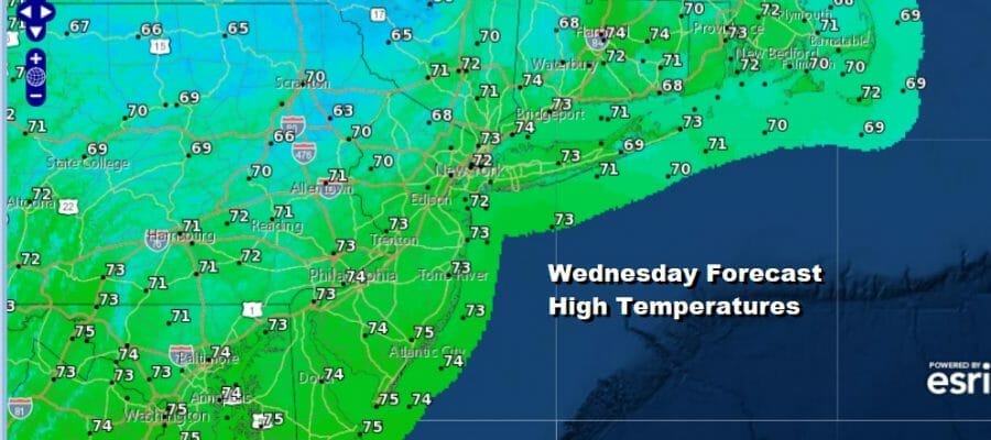
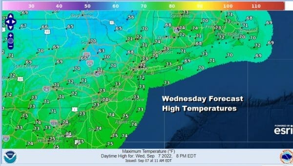
We are on the other side of yesterday’s cold front and wave of low pressure. At least we got some much needed rain and now we sit with leftover clouds for this afternoon. Also we have an east wind from off the ocean which makes clearning difficult. There are some showers going on well inland from the Catskills to the northwest corner of New Jersey southwest into South Central Pennsylvania. That is where the upper trough lies. Elsehwere there could be a shower or two or just some patchy light rain and drizzle. Temperatures today are not going to get much out of the low to mid 70s.
SATELLITE
WEATHER RADAR
On the satellite picture Hurricane Earl is on the lower right corner of the picture. This is actually going to be good news for the Northeast and Mid Atlantic states. The hurricane will track well offshore and pass close to Bermuda. It will be pulling down some nice dry air from Southeast Canada so dew points are going to be low probably right through the weekend.
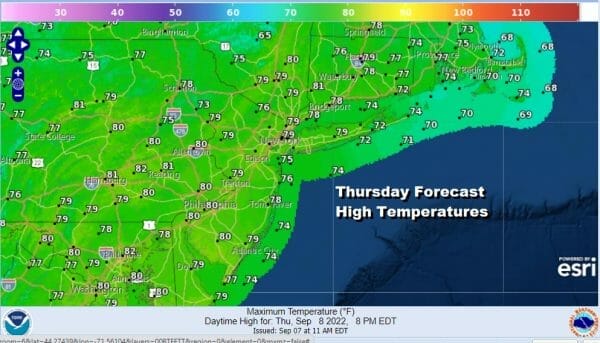
Clouds should start to thin out some tonight Lows will be in the upper 50s to lower 60s. Skies should go partly to mostly sunny on Thursday and highs will reach the mid 70s to around 80. Friday will be a nice mostly sunny day with low humidity and highs will be 75 to 80 degrees in most places. It will be a nice finish to the week.
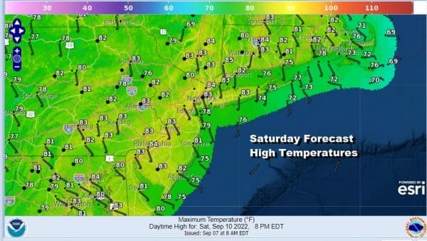
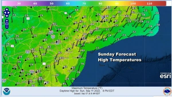
The weekend overall looks good. Saturday looks nice and sunny with low humidity. Most highs will be in the lower 80s. High pressure in New England will move off the coast and that will set up more of a southerly flow Sunday. It should be no worse for partly sunny for most of the day. Highs Sunday will also be in the lower 80s.
The next cold front will be approaching for early next week and that could bring some showers sometime Sunday night or perhaps they hold off until Monday. This looks like a warm front cold front scenario and once Monday’s rain moves north we wait for a cold front to come through with another couple of showers or a thunderstorm on Tuesday.
BE SURE TO DOWNLOAD THE FREE METEOROLOGIST JOE CIOFFI WEATHER APP &
ANGRY BEN’S FREE WEATHER APP “THE ANGRY WEATHERMAN!
MANY THANKS TO TROPICAL TIDBITS & F5 WEATHER FOR THE USE OF MAPS
Please note that with regards to any severe weather, tropical storms, or hurricanes, should a storm be threatening, please consult your local National Weather Service office or your local government officials about what action you should be taking to protect life and property.

