Today is beautiful with blue skies and sunshine with highs in the low to mid 60s. In fact the weather

Today is beautiful with blue skies and sunshine with highs in the low to mid 60s. In fact the weather

Call it practice for the coming winter but I thought I would put up the snow forecast maps from the

New Jersey Weather Forecast For Thursday Sunshine Beautiful Day, Cold Weekend. Sunshine for Thursday with highs in the low to

Hudson Valley weather forecast FiOS1 News Meterologist Joe Cioffi. A beautiful day on Thursday followed by the chance for showers
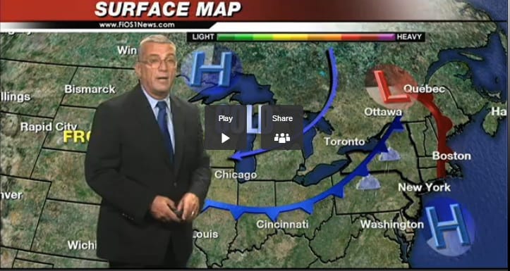
Long Island weather forecast FiOS1 News Meterologist Joe Cioffi. A beautiful day on Thursday followed by the chance for showers

There are no weather changes for the weekend as we have been on course for the coldest weather of the