

USE THE COUPON CODE “summer2026” AND GET 10 PERCENT OFF ON ANY PURCHASE

A Rise In Temperatures & Humidity Next Few Days
But Little Rain Through Saturday
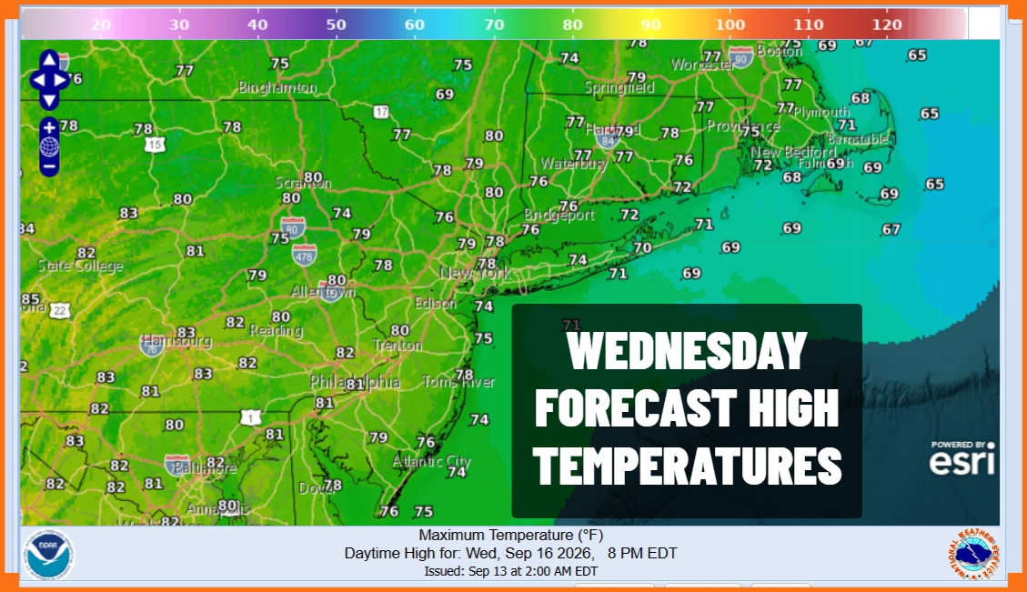
The core of the dry air mass of the last 2 days is offshore and today we will begin a slow rise in temperatures as well as humidity but we are not going to anything extreme. The first of several weather fronts will approach today but this first front is going to fall apart before it gets here. Showers and some thunderstorms with the front across Northwest Pennsylvania and Western New York will gradually weaken as we go through the day so we expect to see no worse than partly sunny skies today. After the cool start, highs this afternoon ill reach the upper 70s to a few lower 80s in most places. Conditions become more humid today as dew points rise into the 60s.
SATELLITE WITH LIGHTNING STRIKES

WEATHER RADAR

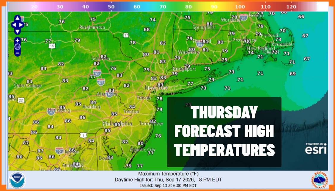
Tonight will be warm and humid with some patchy fog around. Lows will be in the mid to upper 60s Another front will approach Thursday which will be a warm and humid day. Skies will be no worse than partly sunny. Humidity levels will be high so it will be uncomfortable. Highs will reach the low and middle 80s. Another front approaches and we will throw in the chance there could be a scattered shower or thunderstorm Thursday evening but most of you won’t see much.
High pressure will arrive in Southeastern Canada and it will build southward so we will see dew points gradually drop from north to south as north to northeast winds develop. We will see some sunshine returning Friday with highs in the upper 70s and lower 80s. The high grows stronger Friday night and Saturday as cool air spreads across Eastern Pennsylvania to Southern New England. Saturday looks to be the better of the two weekend days because we have yet another weather system dropping southeast from the Great Lakes. This system will have more to work with as moisture off the ocean come in and winds turn more southeast. Saturday highs will be in the low to mid 70s. Rain comes in during the early morning hours Sunday and continues on and off, possibly through at least Monday. We will talk more about this tonight on the Joe & Joe Weather Show Podcast on Youtube at 8pm.
MANY THANKS TO TROPICAL TIDBITS FOR THE USE OF MAPS
Please note that with regards to any severe weather, tropical storms, or hurricanes, should a storm be threatening, please consult your local National Weather Service office or your local government officials about what action you should be taking to protect life and property.
