

USE THE COUPON CODE “summer2026” AND GET 10 PERCENT OFF ON ANY PURCHASE

Warm Humid Thursday But Cooler Drier Friday & Saturday Rain Likely Sunday
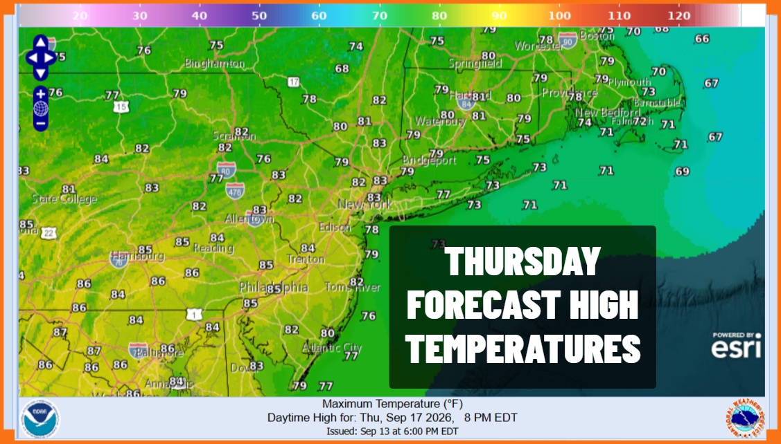
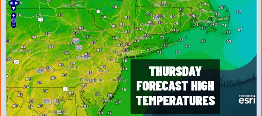
This is the one very warm and humid day of the week ahead of another cold front that approaches from Western New York & Western Pennsylvania. There are some showers and thunderstorms ahead of this front, west of the I-81 corridor. We expect to see these showers and storms gradually weaken as they move east of I-81 in Pennsylvania. In the meantime we will see partly sunny skies today with most highs in the low to middle 80s. We will throw in the risk for a shower or thunderstorm but the best chance for this will be away from the coast and these showers should not amount to much. Many of you will miss them altogether.
SATELLITE WITH LIGHTNING STRIKES

WEATHER RADAR

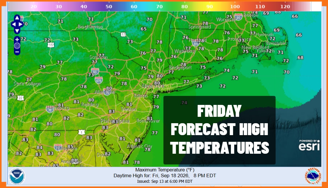
Once the front passes we will have some leftover clouds around with lows in the mid to upper 60s. Friday we will see humidity levels drop slowly from north to south with sunshine and highs in the upper 70s north and lower 80s south. By south I mean Southern New Jersey and Southern Pennsylvania southward where the drier air will take a while to arrive while north is north of New York City and Northern New Jersey where drier air will arrive sooner.
Friday night into Saturday morning will be nice and clear with most lows in the 50s to near 60. Saturday looks to be the better of the two weekend days with sunshine & some late day arriving high clouds. Highs will be mostly in the 70s with a nice northeast breeze. This onshore flow is going to set things up for Sunday as low pressure on the old frontal boundary slides southeast from the Great Lakes.
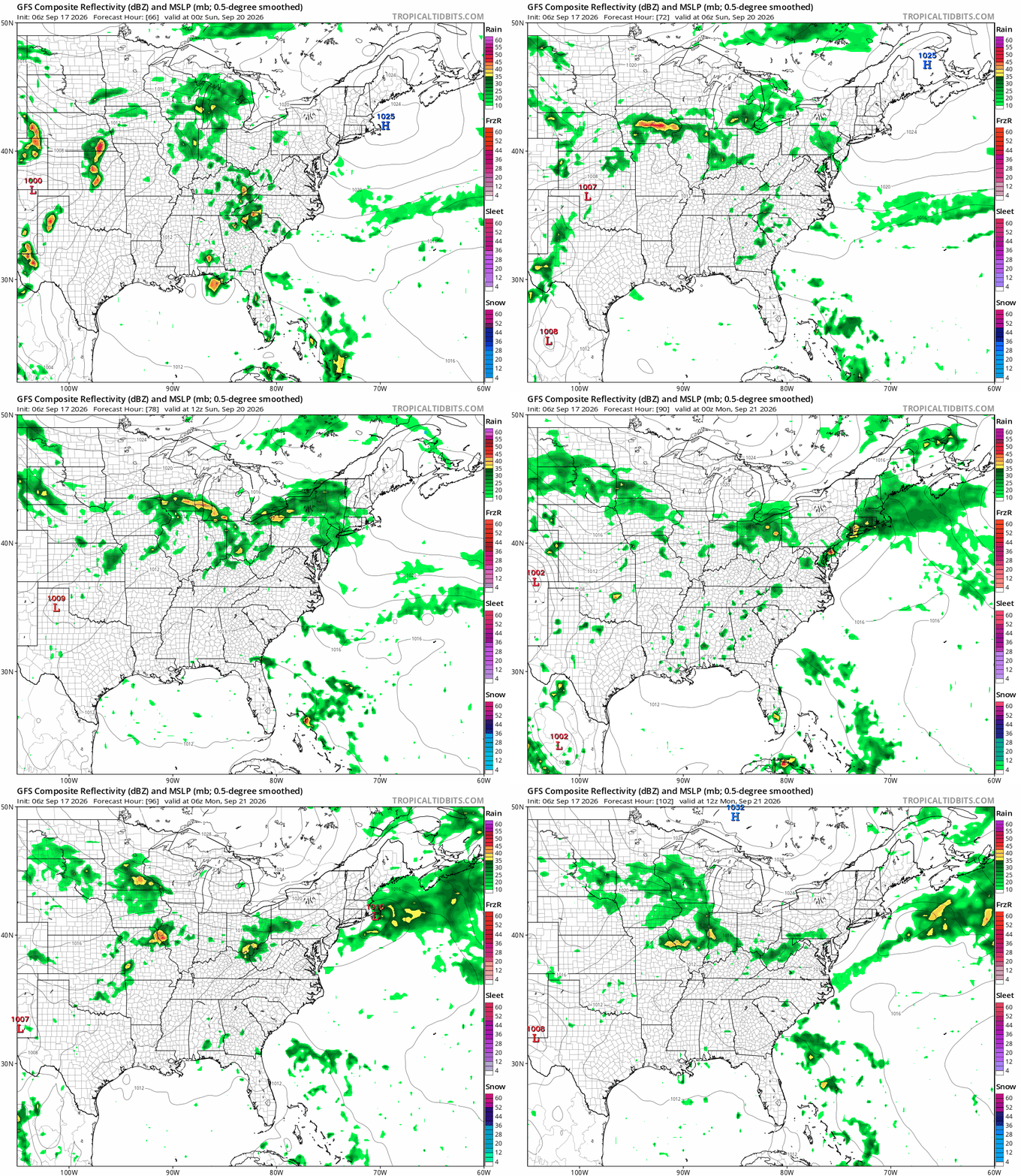
Judging from what the models are showing it seems that we get some rain coming in during the early morning hours of Sunday lasting through midday, a break follows, and then perhaps more rain or even a thunderstorm possible late in the day or Sunday evening. While it is raining Sunday temperatures are likely to park themselves in the 60s for much of the time. If the break happens some places could reach the 70s. The onshore flow will continue Monday so it seems improvement will be elusive. For now we are forecasting cloudy skies with some on and off rain or drizzle to start off next week.
MANY THANKS TO TROPICAL TIDBITS FOR THE USE OF MAPS
Please note that with regards to any severe weather, tropical storms, or hurricanes, should a storm be threatening, please consult your local National Weather Service office or your local government officials about what action you should be taking to protect life and property.