

USE THE COUPON CODE “SPRING2026” AND GET 10 PERCENT OFF ON ANY PURCHASE

Weekend Brings Very Warm Humid Conditions
Showers Thunderstorms Late Sunday & Monday
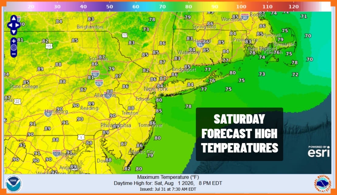
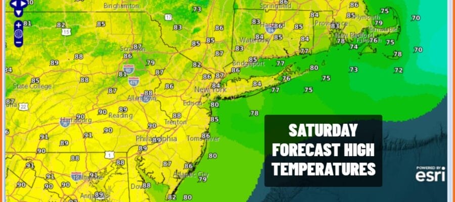
The weekend is underway and it is going to be a very warm and humid Saturday with partly sunny skies. High clouds are running out ahead of the next approaching weather system and the associated cold front. At least today we will be rain free with no worse than partly sunny skies. High temperatures will be in the mid to upper 80s though it will be a few degrees lower at the shore with local sea breezes. A warm and humid night lies ahead under cloudy skies with lows in the mid 60s to lower 70s across Eastern Pennsylvania to Southern New England.
SATELLITE WITH LIGHTNING STRIKES

WEATHER RADAR

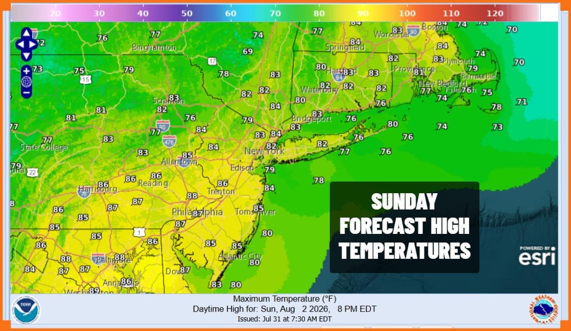
This approaching cold front is going to be slow moving so we should be dry Sunday morning though on the cloudy side. Some downpours could start showing up on radars around midday but they won’t become more numerous until later in the afternoon and into the evening. Originally it appeared we might be dry through the dayside Sunday but moisture will come in a bit faster than previously advertised. Highs Sunday will reach into the 80s in most places.
The weather front will be slowing down and stalling Sunday night so we will see showers and some thunderstorms. Some of the thunderstorms will produce heavy rain but severe weather does not seem to be a risk. Highly localized flash flooding is possible in some heavier storms but widespread flooding doesn’t appear to be an issue at the moment.
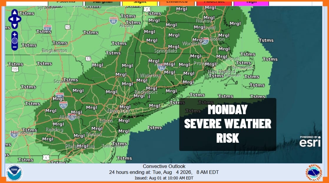
Monday we are likely to see the possibility of severe weather though the Storm Prediction Center at this time is indicating a marginal risk for isolated severe thunderstorms. Showers and downpours will likely be on and off during the day Monday with highs in the upper 70s and lower 80s. The front will push offshore Monday night taking the showers out to the east and weather conditions will improve Tuesday.
MANY THANKS TO TROPICAL TIDBITS FOR THE USE OF MAPS
Please note that with regards to any severe weather, tropical storms, or hurricanes, should a storm be threatening, please consult your local National Weather Service office or your local government officials about what action you should be taking to protect life and property.
