

USE THE COUPON CODE “SPRING2026” AND GET 10 PERCENT OFF ON ANY PURCHASE

Better Weather For The Weekend But Showers Thunderstorms
Sunday Night Into Monday
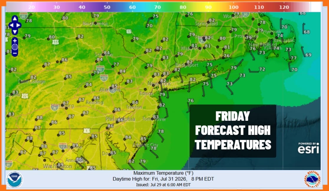
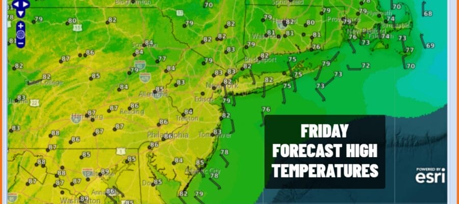
Improving sky conditions continue today as the upper trough to the northeast pulls out. We should see more in the way of sunshine and less in the way of clouds. However we are still going to leave in the chance for an isolated shower or thundershower popping up. The chances for this are rather low so the vast majority of you won’t see anything. Otherwise skies will be no worse than partly sunny today. It remains somewhat humid though and highs will reach 80 to 85 degrees with cooler readings at the shore.
SATELLITE WITH LIGHTNING STRIKES

WEATHER RADAR

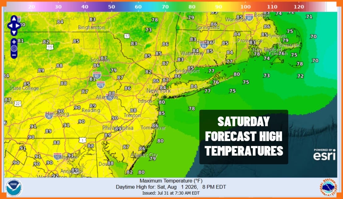
Tonight and Saturday night will be warm and humid nights and some patchy fog and low clouds could develop in some areas. Lows will be mostly in the 60s to around 70 degrees. Saturday dayside will feature no worse than partly sunny skies. I’m going to leave out the chance for a downpour or thunderstorm because the risk is very low. Highs Saturday will be in the mid to upper 80s with some warm spots approaching 90 degrees.
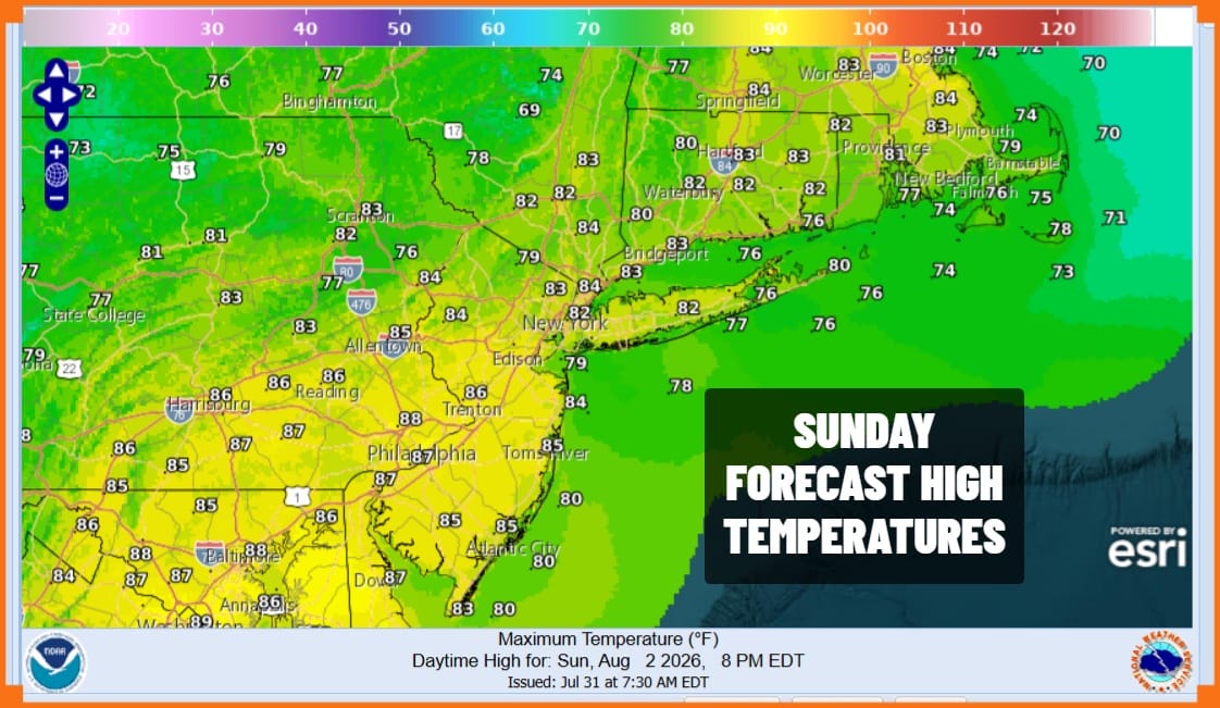
On to Sunday where the next upper trough and cold front will approach but this system will be slowing down. The good news is that this means Sunday will be dry right through the evening across Eastern Pennsylvania to Southern New England. Skies should be partly sunny and it will be very warm and humid again with highs in the low and middle 80s. Temperatures will be a little lower due to a wind off the ocean and perhaps some low clouds that will start the day. No rain is forecast through Sunday evening.
This next weather system will linger to our west for several days and that means that we are going to have risks for downpours and thunderstorms beginning Sunday night and continue on and off possibly through Wednesday and perhaps maybe even beyond that. While this doesn’t seem to be the kind of weather system that will produce severe thunderstorms, it might be one that produces periods of heavy rains in a moisture laden atmosphere so we could be seeing a situation where local flash flood risks begin to develop. I will be looking at this possibility carefully over the weekend from a forecast standpoint.
MANY THANKS TO TROPICAL TIDBITS FOR THE USE OF MAPS
Please note that with regards to any severe weather, tropical storms, or hurricanes, should a storm be threatening, please consult your local National Weather Service office or your local government officials about what action you should be taking to protect life and property.
