

USE THE COUPON CODE “summer2026” AND GET 10 PERCENT OFF ON ANY PURCHASE

Wednesday Sunshine Rain Thursday & Friday Cold But Dry Weekend
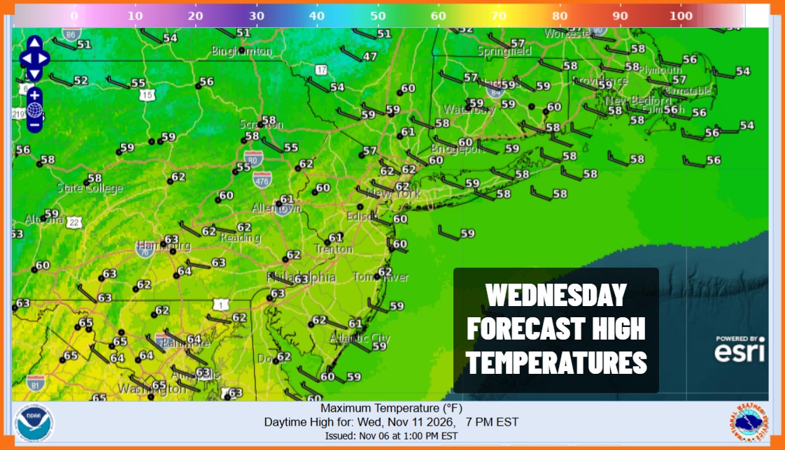
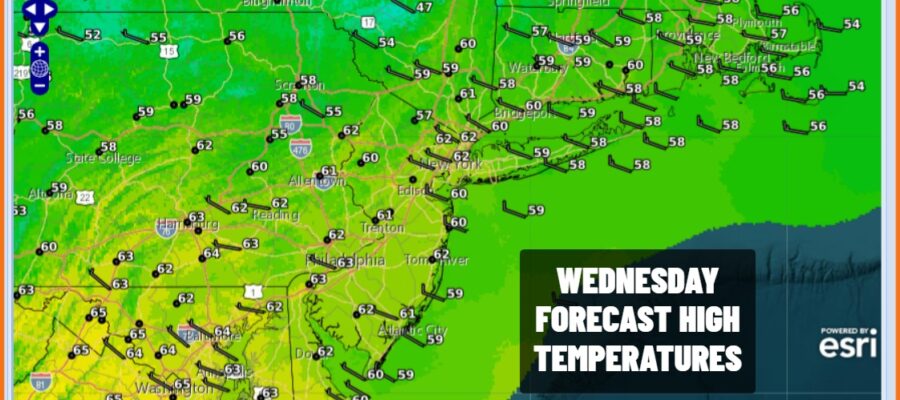
Today Veterans Day & a salute to our veterans and thank you for your service, is setting up to be the best weather day of this week. Winds are easing today and we have dry air overhead to give us plenty of sunshine. The next storm system will be coming into view on satellite loops and later this afternoon and evening some high clouds will start to roll in from the west. Overall though a nice day and temperatures this afternoon will be topping out mostly in the lower 60s. Then as the storm system approaches look for clouds to increase tonight. Also winds will begin to turn to the east. Lows by morning will be mostly in the 40s across Eastern Pennsylvania to Southern New England.
SATELLITE WITH LIGHTNING STRIKES

WEATHER RADAR
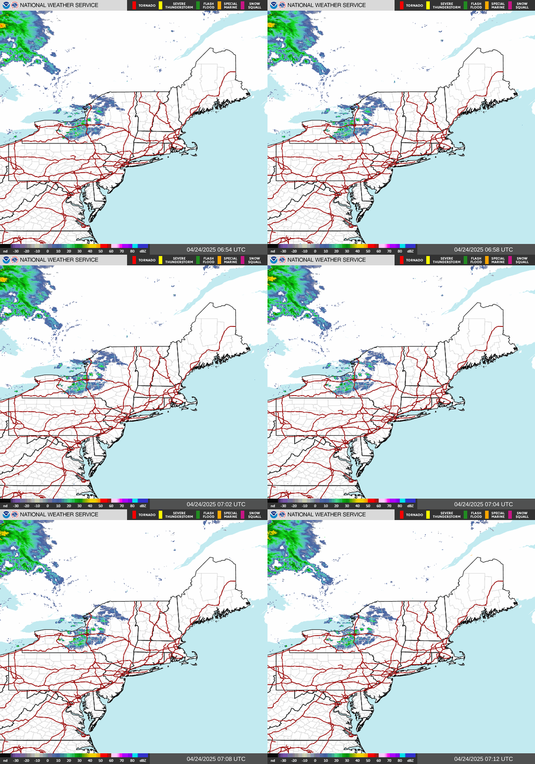
Clouds will increase and thicken up tonight as winds turn north and northeast. Lows overnight will be in the 40s. Low pressure heading east from Iowa will eventually wind up in Pennsylvania, redeveloping off the New Jersey coast. There the low will meander until Friday when a strong upper trough swings eastward across the Eastern US and forces to low to push further east and offshore.
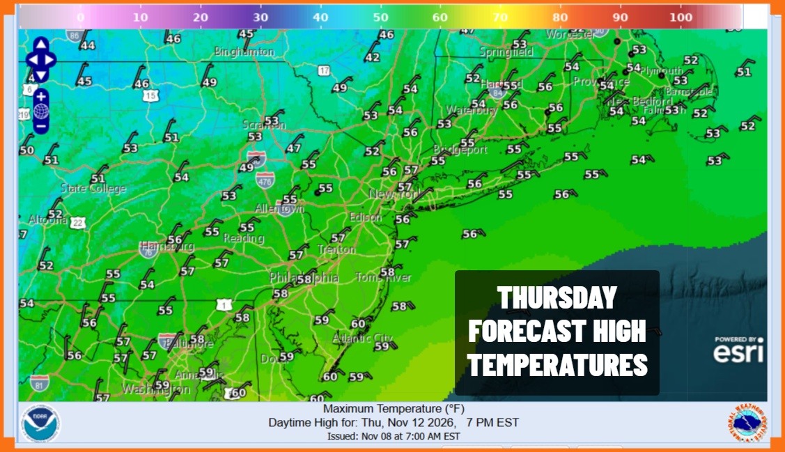
Rain will overspread the area Thursday with the heaviest rain from Central New Jersey northward into New England and Long Island. Temperatures will top in the 50s but once the rain begins and becomes more continuous, temperatures will ease and settle in the 40s late in the day and during Thursday night. Upstate New York and Central New England northward could see rain changing to wet snow in elevated areas overnight into Friday. A cold rain continues into Friday afternoon from Eastern Pennsylvania to Southern New England. Highs will be just in the 40s.
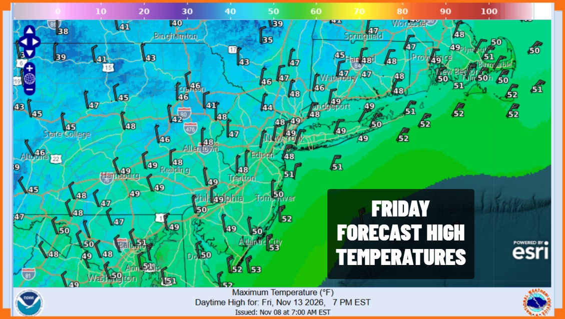
Rainfall totals will range from 3/4 inch to 1.5 inches but much less will fall from Southern Pennsylvania and Southern New Jersey southward. Then we will see colder drier air come in for both Saturday and Sunday. Both days feature sunshine with highs mostly in the 40s. Saturday and Sunday morning lows will be in the 20s inland and low to mid 30s coast and warmer urban centers.
MANY THANKS TO TROPICAL TIDBITS FOR THE USE OF MAPS
Please note that with regards to any severe weather, tropical storms, or hurricanes, should a storm be threatening, please consult your local National Weather Service office or your local government officials about what action you should be taking to protect life and property.