
USE THE COUPON CODE “summer2026” AND GET 10 PERCENT OFF ON ANY PURCHASE

Sunshine Continues Into Saturday Coastal Storm Growing More Likely Sunday
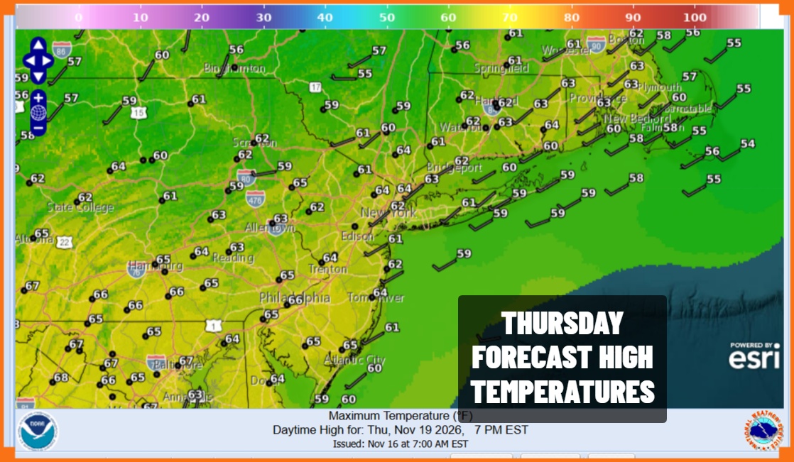
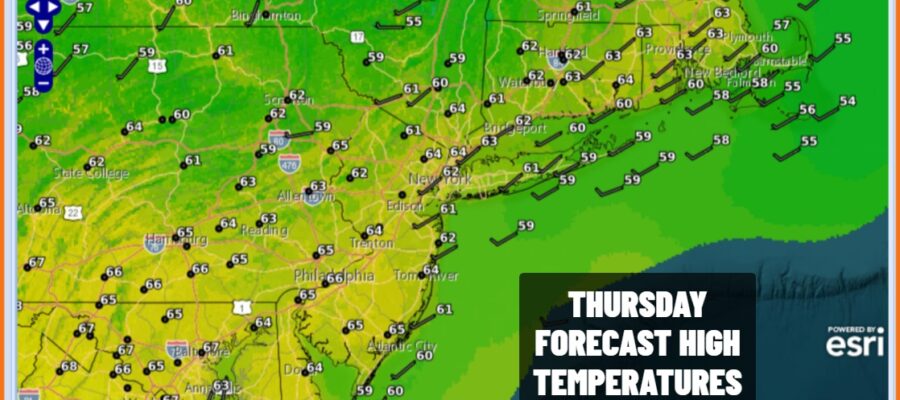
This autumn season has seen so many days and nights of clear skies and it continues for another couple of days. Satellite and radar loops are nice and quiet. Skies are clear from Maine to Florida and west to beyond the Mississippi River. This is thanks to high pressure both at the surface and aloft which has not moved much in the last few days and it looks to hang on for another day or two before moving east. This leaves us with lots of sunshine today and highs will reach the low to mid 60s.
SATELLITE WITH LIGHTNING STRIKES

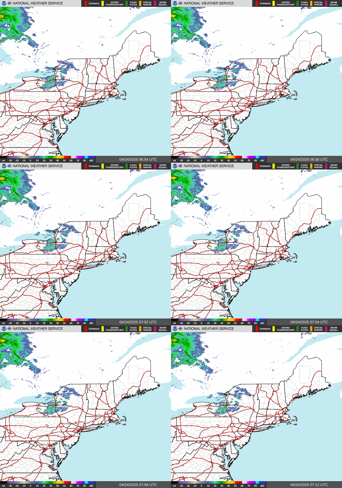
WEATHER RADAR
Tonight we will see clear skies again with overnight lows in the 40s along the coast and in warmer urban areas but we will have many cold spots inland bottoming in the 30s. Friday is just another day under a pristine air mass. Lots of sunshine is in the forecast for Friday. Highs will again be in the low to middle 60s.
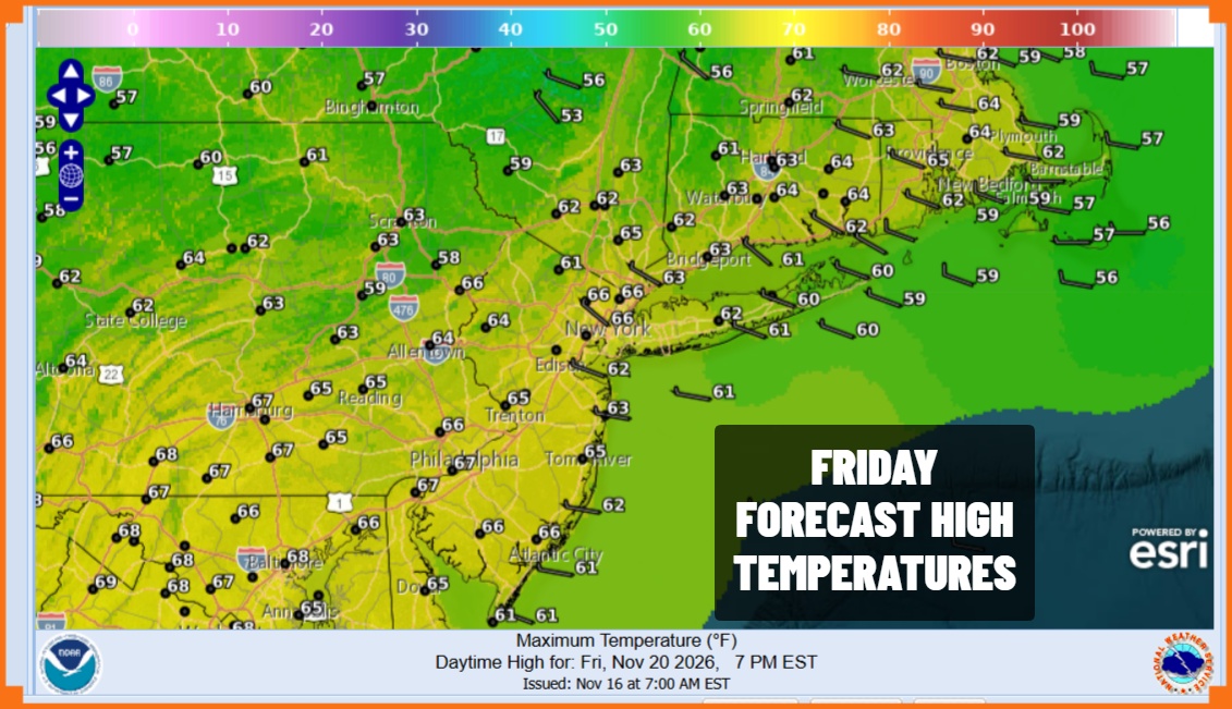
Our attention turns to the weekend. First off Saturday will definitely be the better of the two weekend days. We will see sunshine with highs and highs will again be in the low to middle 60s. Sunday we will begin to see weather conditions as clouds increase from south to north. This is all ahead of the next storm system that will be developing east of Florida over the next 2 days.
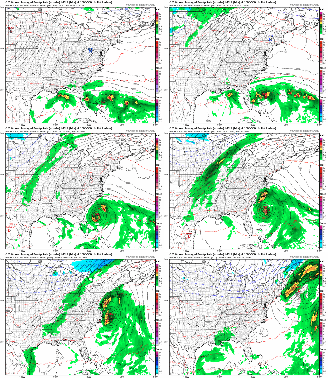
There are a couple of wild cards here to address. One is that this low has a 60 percent chance of developing into a tropical or subtropical storm over the next 48 hours and all the models show this happening in some form or another. The other wild card will be the track because that ultimately determines what exactly we will see as the storm moves up the coast Sunday night and Monday. it would seem a solid soaking rain is in the cards along with gusty winds especially near the coast but we need to fine turn this over the next 2 days and monitor what happens development wise. We will be covering this system tonight on the Joe & Joe Weather Show Podcast at 7:35pm on Youtube.
MANY THANKS TO TROPICAL TIDBITS FOR THE USE OF MAPS
Please note that with regards to any severe weather, tropical storms, or hurricanes, should a storm be threatening, please consult your local National Weather Service office or your local government officials about what action you should be taking to protect life and property.
