

USE THE COUPON CODE “SPRING2026” AND GET 10 PERCENT OFF ON ANY PURCHASE

Sunday The Better of the Two Weekend Days Heat Returns Next Week
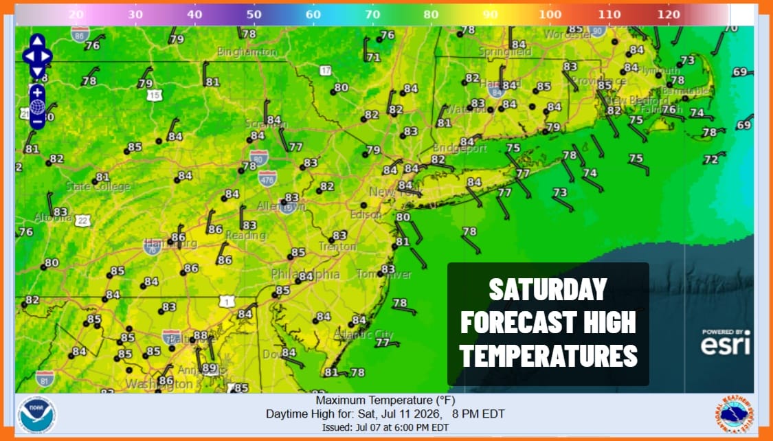
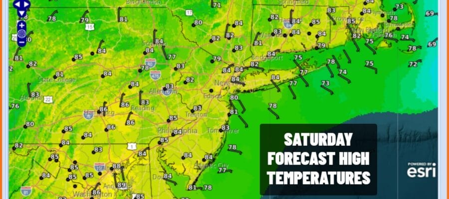
We are seeing some slow improvement today but we do mean slow. Satellite loops show some clouds moving west to east. A frontal boundary lies right across Eastern Pennsylvania to Southern New England today and we will have to wait until later this afternoon for the front to push far enough south to get rid of any cloud cover. There is some sunshine in the mix and dew points are still on the high side. Highs today will reach to lower 80s in most places.
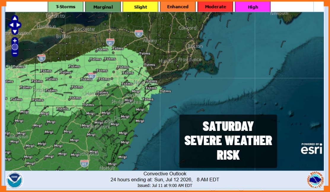
Given the proximity of the frontal boundary we could see some scattered thunderstorms develop and move from west to east this afternoon. The Storm Prediction Center is indicating a marginal risk for isolated severe thunderstorms from Southeast Pennsylvania and Southern New Jersey southward however the general thunderstorm edge cuts off around New York City and the Lower Hudson Valley.
SATELLITE WITH LIGHTNING STRIKES

WEATHER RADAR

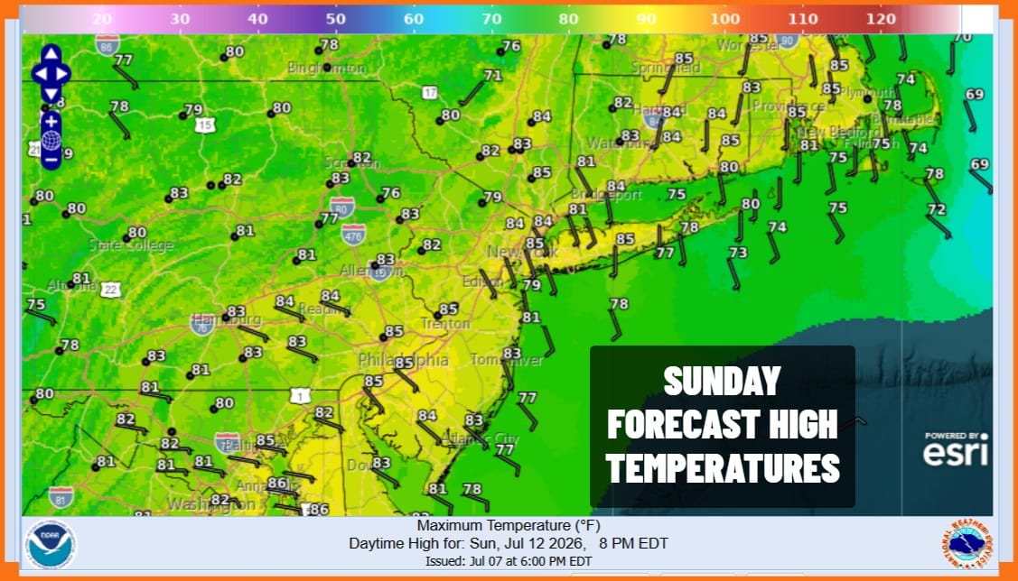
Once this ripple on the front plays through it will sink further south and that should allow skies to clear out tonight. Sunday morning lows will be generally in the 60s. A slightly drier air mass over New England and Eastern Canada will build in Sunday allowing for some sunshine. Dew points will be a little lower so it should be more comfortable and high temperatures will reach the low and middle 80s.
Next week we see the return of heat and humidity starting Tuesday. Also there probably won’t be much in the way of thunderstorm activity since we will be on the eastern side of a large east west heat ridge from the Plains to the Western Great Lakes. Moisture will be lacking and the air mass rather stable. Monday we will have sunshine with highs in the mid to upper 80s. Tuesday we will see highs reach the 90s with sunshine. Wednesday will be very hot with sunshine taking highs in the middle and possibly the upper 90s in some places. 90 degree plus highs will continue probably into and through next weekend.
DOWNLOAD THE UPSIDE APP & EARN CASH AT GAS STATIONS, RESTAURANTS, & SUPERMARKETS

BE SURE TO DOWNLOAD THE FREE METEOROLOGIST JOE CIOFFI WEATHER APP &
ANGRY BEN’S FREE WEATHER APP “THE ANGRY WEATHERMAN!
MANY THANKS TO TROPICAL TIDBITS FOR THE USE OF MAPS
Please note that with regards to any severe weather, tropical storms, or hurricanes, should a storm be threatening, please consult your local National Weather Service office or your local government officials about what action you should be taking to protect life and property.
