

USE THE COUPON CODE “summer2026” AND GET 10 PERCENT OFF ON ANY PURCHASE

Showery Rains At Times Some Thunderstorms In The Mix Through Sunday
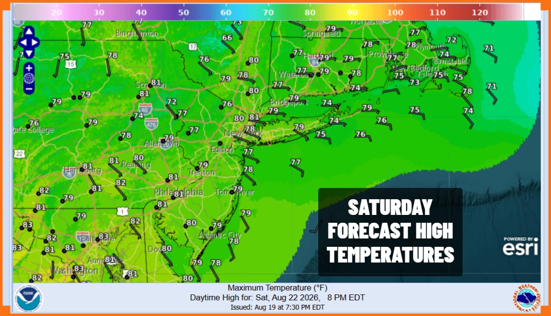
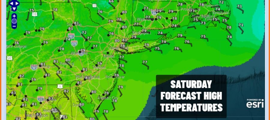
This is not going to be a picture perfect weekend but it is not a washout either. It is going to be one of those weekends where there is rain around at times but other times it will be dry. Sky conditions are not going to be picture perfect either though we expect to see the sun make occasional appearances. There is rain this morning that is moving up along the coastal plain from southwest to northeast. Some of the rain is steady but by no means torrential. Later today other showers will likely develop to the west as a cold front and upper trough move eastward from the Great Lakes. In between look for clouds and some breaks of sun with high temperatures in the upper 70s and lower 80s.
SATELLITE WITH LIGHTNING STRIKES

WEATHER RADAR

The risk for flash flooding and severe weather today is minimal. Tonight we will look for showers and perhaps a thunderstorm or two in the mix to move through. Most lows will be in the 60s to around 70. We will move on to Sunday where low pressure in Southeastern Canada will dominate the atmosphere. We are likely to see clouds around with patchy areas of showers. During the afternoon some thunderstorms could develop.
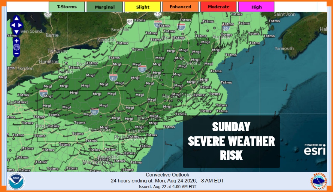
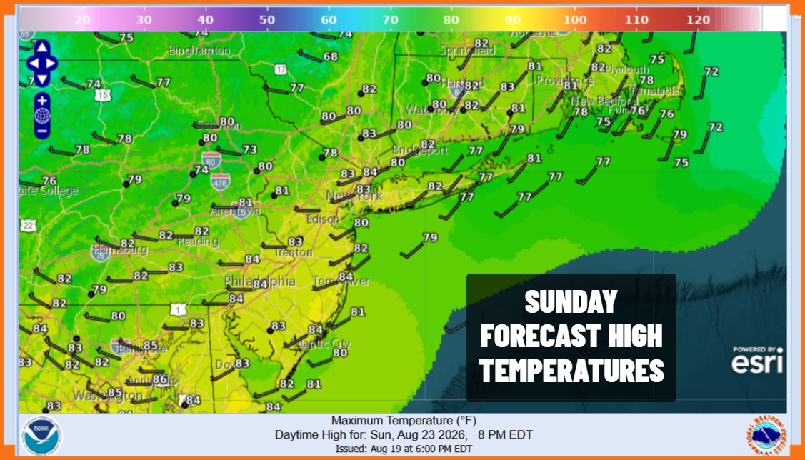
The Storm Prediction Center is indicating a marginal risk for isolated severe thunderstorms during Sunday. Risks might be a little higher in Upstate New York and New England which is closer to the low center. Sunday highs again will reach the upper 70s and lower 80s in most places. Rainfall amounts over the weekend will be in the range of a quarter to a half inch though some local amounts could be higher due to convection.
Weather conditions will improve somewhat Monday with a mix of sun and clouds in the forecast however due to the proximity of the upper trough in the Northeast, some instability scattered showers cannot be ruled out. Also humidity levels will take a break Monday and Tuesday with dew points dropping to the upper 50s and lower 60s so it will be more comfortable. Highs Monday and Tuesday will be in the upper 70s and lower 80. Tuesday will see more sunshine and fewer clouds. Wednesday looks ok. The next chance for any showers and thunderstorms probably comes late Thursday into Thursday night but they should be long gone by Friday morning.
MANY THANKS TO TROPICAL TIDBITS FOR THE USE OF MAPS
Please note that with regards to any severe weather, tropical storms, or hurricanes, should a storm be threatening, please consult your local National Weather Service office or your local government officials about what action you should be taking to protect life and property.
