
Rain Passes Offshore, Dry Through The Weekend
We have low pressure off the Middle Atlantic Coast which is moving away to the northeast. There is the possibility that some rain could clip Suffolk County east of Riverhead overnight but other than that the only issue tonight will be clouds. You can see the area of moisture on the satellite loop below. It is being pushed along by a disturbance crossing the Great Lakes. This is the only real threat for anything at all this week and we are basically talking about a shower and that’s it for Long Island.
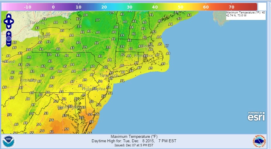
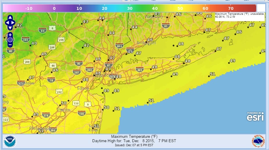
During Tuesday as the low moves northeast we should see deceasing clouds and an increase in sunshine. Temperatures tonight will be held up because of clouds and should be in the mid 30s to near 40. On Tuesday depending how fast clouds move out will determine how high temperatures get. Upper 40s should be the top end of the range for Tuesday. Clouds and some sunshine will be around for Wednesday with highs reaching back into the 50s.

Thursday could see a weak upper air disturbance move through producing a few clouds and maybe a shower Thursday night but that’s it. Temperatures will be in the mid 50s Thursday and in the mid to upper 50s Friday. The weekend looks amazing with some sunshine both Saturday and Sunday with the possibility of seeing record high tempertures into the 60s. The next cold front won’t get here until Monday. It is an amazing stretch of weather in a month were we could certanily see bitter cold and snow. The pattern remains at the opposite extreme and there is no sign of that pattern breaking down anytime soon.
IS A WARM DECEMBER A NO SNOW BELLWEATHER?
JOESTRADAMUS ON THE LONG RANGE
JOESTRADAMUS LONG RANGE VIDEO ANALYSIS
NEW YORK CITY WEATHER FORECAST