Quiet Weather Continues Through Thanksgiving
Rain Likely Saturday Night Into Sunday
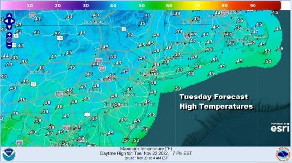
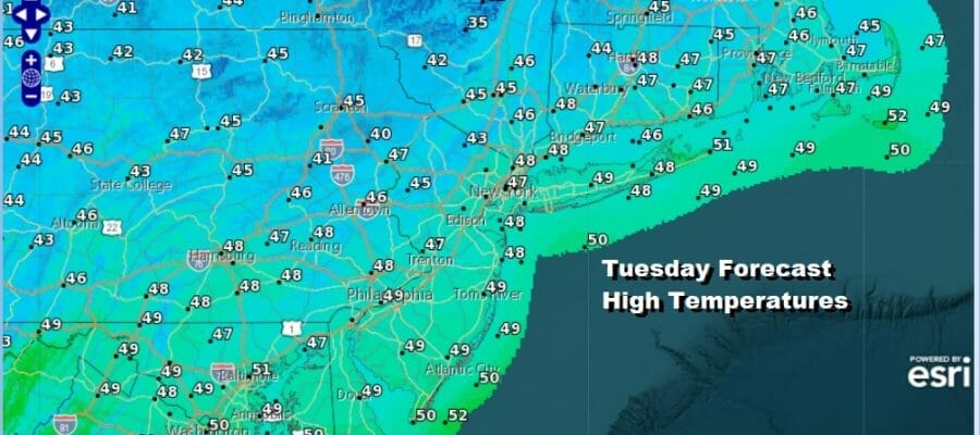
Weather across much of the US is rather calm with no major storms around. If you are travelling for the Thanksgiving holiday, at least you won’t have to deal with weather related travel delays. The cold and wind of the weekend is now abating and we are going to see some moderation today. Sunshine should take temperatures up into the middle 40s and perhaps even a few upper 40s in Southeast Pennsylvania and Southern New Jersey and also around the warmer urban centers around NYC. Radars are quiet and we won’t have anything to deal with radar wise through Thanksgiving day and probably into Friday morning.
SATELLITE

WEATHER RADAR

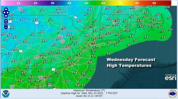
Tonight will be cold but bearable with lows in the 20s in most inland spots and low to middle 30s coast and warmer urban locations. Wednesday is looking good with sunshine taking highs a little higher, low and middle 50s should do it for afternoon peaks.
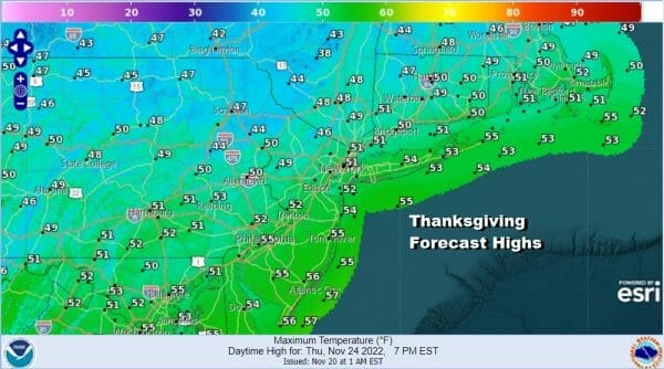
Thursday, Thanksgiving Day will be dry but it will probably be a shade cooler for afternoon highs. A weak high builds southeast into Northern New England and this turns the wind to light north early in the day and light southeast later in the day. We will have some sunshine though and Thanksgiving Day highs will likely be in the upper 40s to lower 50s with no rain issues whatsoever.
Friday begins a series of changes. We will see the high in New England move away to the east and this allows a cold front to drop southeast from Canada and through the Northeast Friday afternoon and evening. The front is relatively weak and it might set off a few showers Friday afternoon as it goes by. The air behind it is not really much cooler than the air ahead of it. Friday highs will be in the upper 40s and lower 50s.
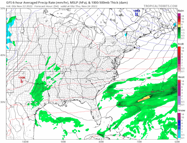
We have finally worked out the weekend weather as we watch low pressure finally come out of the Gulf States and head northeast to the Ohio Valley. A secondary low will form in the Appalachians and head to the northeast up the Appalachians and into New England Saturday night and Sunday. Saturday itself will be a dry day with sunshine to start and then increasing clouds with highs in the low to mid 50s. No rain is forecast for the daytime but we will get Saturday night into Sunday morning and it should move out by the afternoon. There is no cold air so no snow issues. Highs Sunday will be in the 50s. Next week starts quiet and seasonal temperature wise with another cold front and a chance for showers probably next Wednesday.
BE SURE TO DOWNLOAD THE FREE METEOROLOGIST JOE CIOFFI WEATHER APP &
ANGRY BEN’S FREE WEATHER APP “THE ANGRY WEATHERMAN!
MANY THANKS TO TROPICAL TIDBITS & F5 WEATHER FOR THE USE OF MAPS
Please note that with regards to any severe weather, tropical storms, or hurricanes, should a storm be threatening, please consult your local National Weather Service office or your local government officials about what action you should be taking to protect life and property.


