
Major Storm Looms Late Friday into Saturday
Heavy Rain Strong Winds Coastal Flooding

Major Storm Looms Late Friday into Saturday
Heavy Rain Strong Winds Coastal Flooding
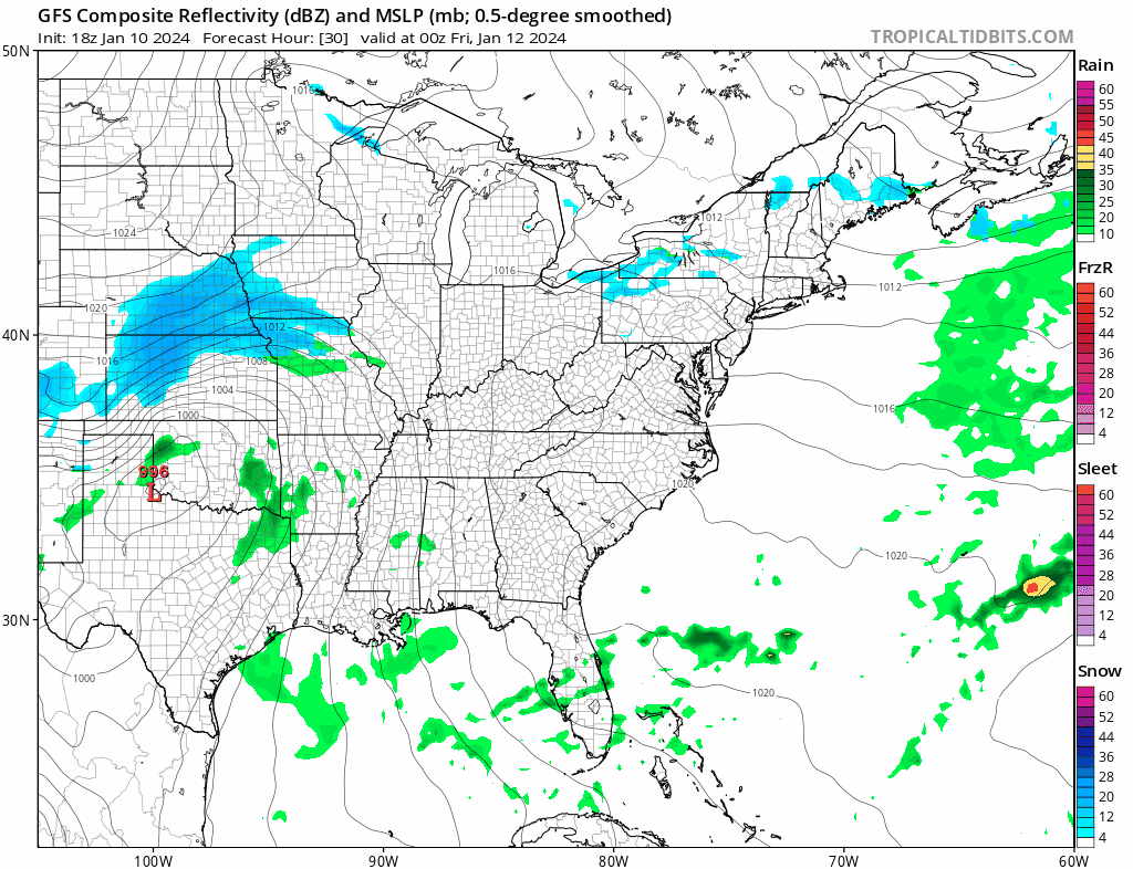
Another major storm is headed our way with another round of strong winds, heavy rains, and coastal flooding for coastal areas from Southern New England south to Delmarva which of course includes Long Island and Coastal New Jersey. Today at least we have no issues other than passing clouds so we will call it no worse than partly sunny with highs mostly in the mid to upper 40s. There are no issues on the radar and things will remain quiet rignt into Friday morning. Skies should be partly to mostly clear tonight with lows in the 30s
SATELLITE WITH LIGHTNING STRIKES

WEATHER RADAR

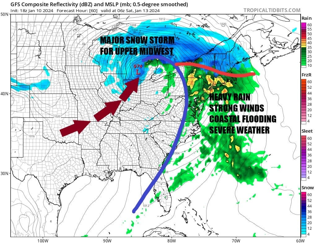
Weather conditions will deteriorate Friday with increasing clouds with winds starting to pick up during the afternoon. Low pressure will develop in the Southern Plains and then head for the lower Great Lakes Friday night. The storm will intensify rapidly and be every bit as strong as the storm from Tuesday. We will be dealing with heavy rain across the Ohio Valley into the Northeast. Expect widespread severe weather again across the Deep South and the Southeast US from North Carolina to Florida. A major snow storm will occur from the Central Plains to the Great Lakes with snows of 1 foot plus.
For Eastern Pennsylvania to Southern New England this plays out in much the same way as Tuesday’s storm. Heavy rain will develop Friday night. Winds will increase and gust to 50 mph or more at times. Coastal flooding occurs at high tide. Tides will be at the cycle peaks Friday so we should see moderate to major coastal flooding the the time of high tide. The cold front passes through Saturday morning leaving us with a windy and colder weekend. Temperatures will rise through the 50s Friday night and might even reach low 60s in some places before we see temperatures fall through the 40s Saturday. Sunday will be breezy and cold with some sunshine but highs only will reach the low 30s in most places.

Rainfall amounts with this system should be somewhat less than the Tuesday storm where we see 2 to 3 inches everywhere and in some places even higher. This time around it may be more on the order of an inch to maybe a inch and a half. We will likely see flood watches for heavy rain potential go up for parts of Eastern Pennsylvania to Southern New England. Also we will see Wind Advisories going up for Friday night and Saturday and we may also be borderline High Wind Watch for coastal areas from Delmarva to Southeastern New England. Snow is not an issue with this system though we could see some snow at the start in Northern Pennsylvania and Upstate NY and interior Southern and Central New England before it all goes to rain. Also expect Coastal Flood Watches and Coastal Flood Warnings to go up from Southern New England to the Delaware coast and possibly Chesapeake Bay. We are coming off a new moon so we will be at peak high tides Friday and Friday night. Moderate to possibly some major coastal flooding seems likely.
BE SURE TO DOWNLOAD THE FREE METEOROLOGIST JOE CIOFFI WEATHER APP &
ANGRY BEN’S FREE WEATHER APP “THE ANGRY WEATHERMAN!
MANY THANKS TO TROPICAL TIDBITS FOR THE USE OF MAPS
Please note that with regards to any severe weather, tropical storms, or hurricanes, should a storm be threatening, please consult your local National Weather Service office or your local government officials about what action you should be taking to protect life and property.
(Amazon is an affilate of Meteorologist Joe Cioffi & earns commissions on sales.)


