

USE THE COUPON CODE “summer2026” AND GET 10 PERCENT OFF ON ANY PURCHASE

Humid Thursday With Passing Showers Possible Lower Humidity Friday
Nice Start to the Weekend
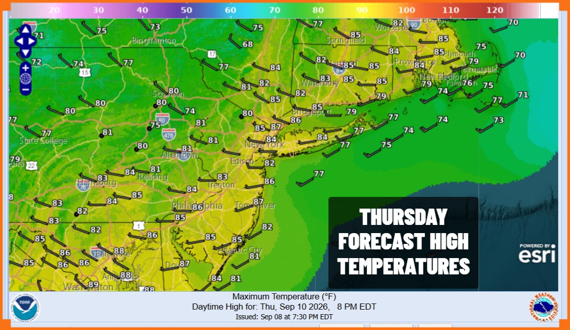
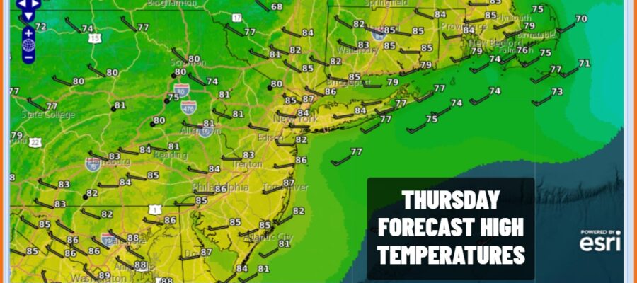
It is a very warm and very humid day across Eastern Pennsylvania to Southern New England. We are waiting for a cold front to pass. It is still well to the north and west but as it approaches, it is likely to set off a few showers and thunderstorms well to the south. The risk for storms cuts off in Southern New Jersey and Southern Pennsylvania southward. In the meantime we are seeing sunshine and some clouds. Highs today will generally be in the middle to a few upper 80s. The west wind is helping to heat things up but dew points remain elevated.
SATELLITE WITH LIGHTNING STRIKES

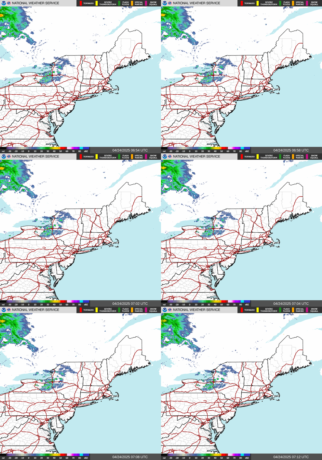
WEATHER RADAR
Tonight as the front passes a wave will develop on it so we might see some rain from this, mainly from New York City south and expect that most if not all of the rain will be gone before daybreak North and east of New York City probably escapes this. The front then passes and we should see dew points start to drop later tonight and through Friday.
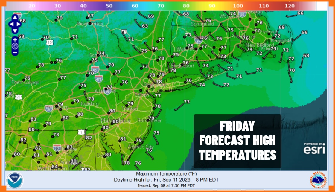
Other than a few leftover clouds early, skies should gradually go mostly sunny with dew points dropping down into the 50s making for a comfortable day. Highs Friday will be in the 70s to around 80 degrees. The dry air will last into Saturday morning with lows in the 50s, except for low 60s coast and warmer urban areas. Saturday we will see sunshine give way to arriving clouds with highs in the 70s to around 80.

Humidity levels will start to go up again later Saturday and we will see some showery rains Saturday night into Sunday morning across much of Eastern Pennsylvania to Southern New England. Later in the day Sunday there could be a scattered shower or a thunderstorm, otherwise we will see a mix of sun and clouds in between. Most highs will reach the lower 80s and it will be on the humid side.

Another cold front passes Sunday evening bringing down another shot of dry air to start off next week. Much of next week could wind up being rain free until a front comes through late in the week with some shower risks. Temperatures will be either side of average on most days but nothing excessive temperature wise is indicated for the last full week of the summer season.
MANY THANKS TO TROPICAL TIDBITS FOR THE USE OF MAPS
Please note that with regards to any severe weather, tropical storms, or hurricanes, should a storm be threatening, please consult your local National Weather Service office or your local government officials about what action you should be taking to protect life and property.
