One of the signatures of this summer has been the fact that we don’t seem to stay in one particular spot for too long. It gets hot for a couple of days and then it cools off and humidity drops off. There doesn’t appear to be any change in this particular pattern for this coming week. The only issue will be whether the change to cooler weather later next week comes with a threat for at least one day of showers.
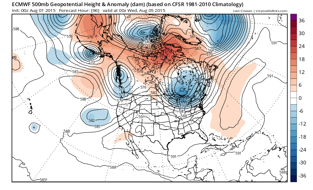
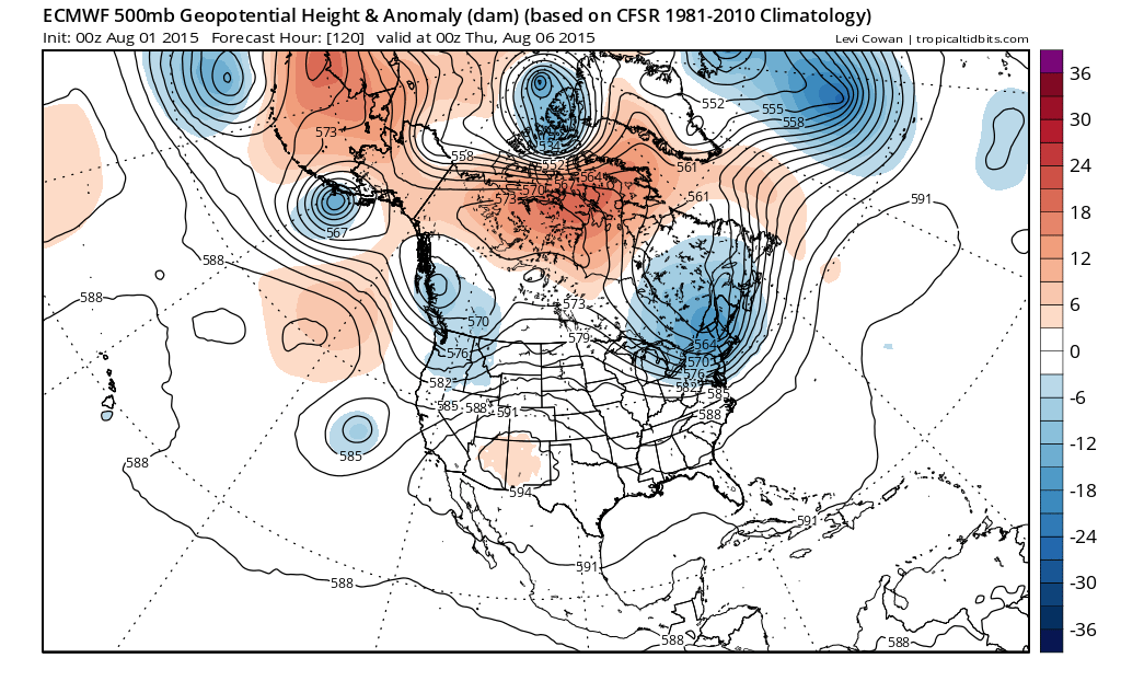
The upper air jet stream pattern shows a deep (for this time of year at least) upper low in Eastern Canada which lowers the jet stream into the Middle Atlantic States. This cuts off any return of humidity after Monday and cuts off the heat after Tuesday. But if you look at the upper flow coming out of Canada there are a few kinks in the pattern. The question will be whether any of these disturbances cause shower issues beyond Tuesday or whether it just turns cool and dry.
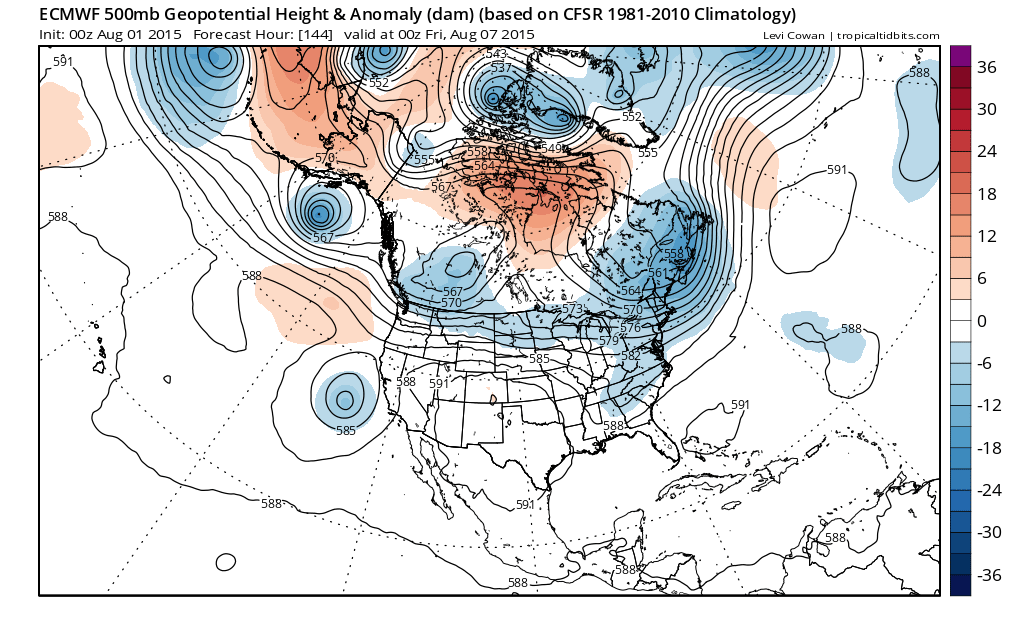
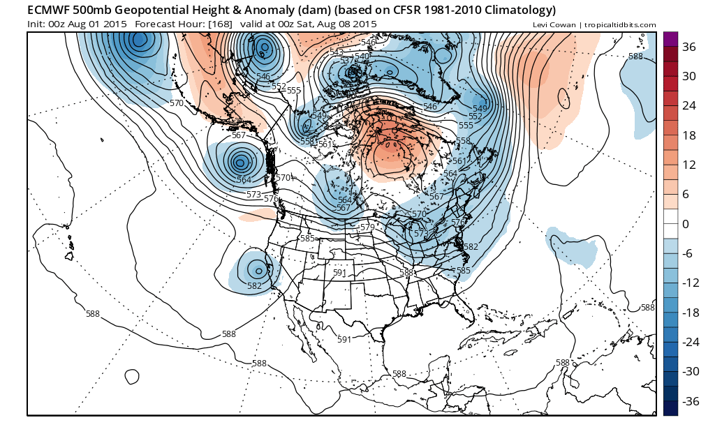
Notice that by the end of the week the trough in the east remains and this suggests cooler than normal temps into next weekend. In fact if we look even longer tern the trough remains in the east through the 10 day period. If this is right, once we get past Tuesday, 90 degree temps could disappear for awhile.