

USE THE COUPON CODE “summer2026” AND GET 10 PERCENT OFF ON ANY PURCHASE

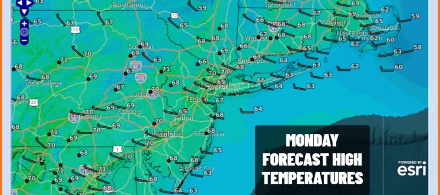
Another Weak Cold Front Passes Warmer Monday
But Cooler Tuesday & Wednesday
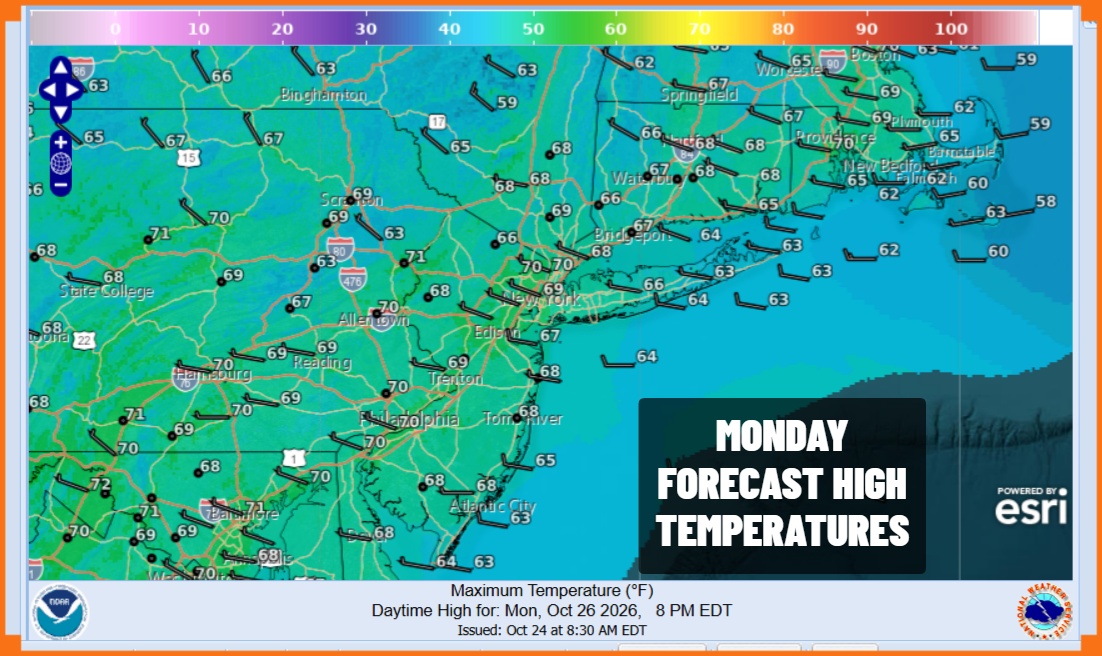
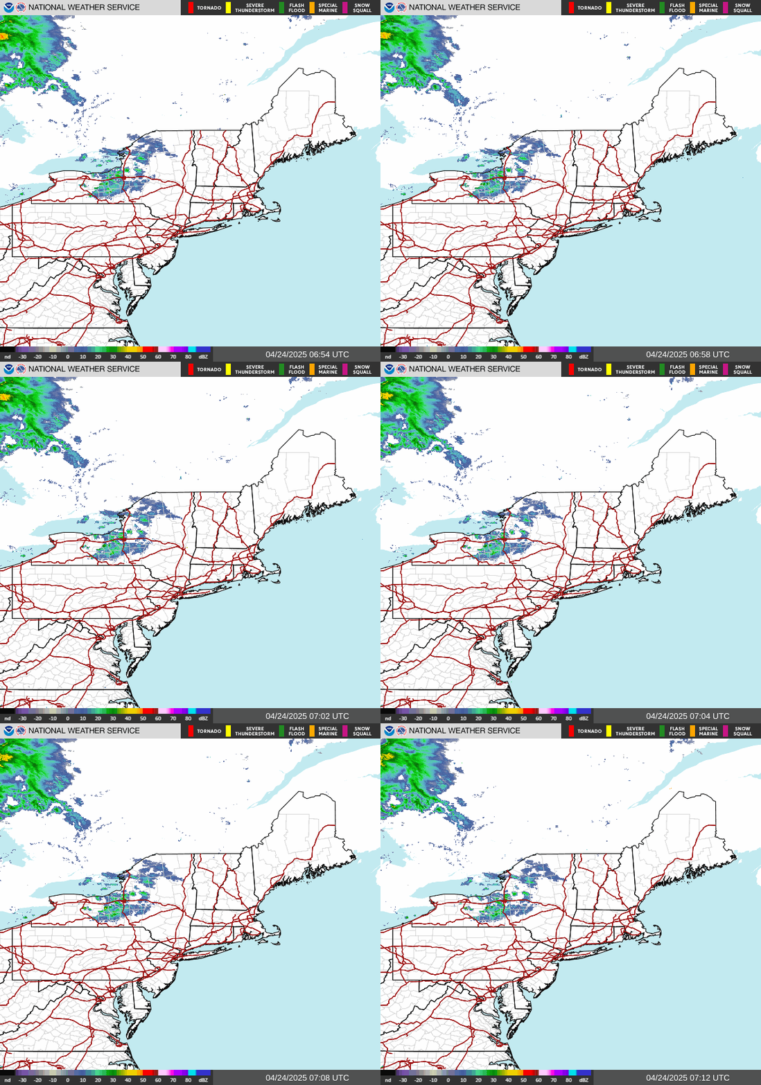
Today makes it 9 days in a row of lots of sunshine and little if any clouds. It is been a remarkable stretch of dry weather since we rarely strong more than a day or two of completely cloud free conditions. There is usually something up there on most days. Satellite loops show clouds in Eastern Canada back to the Great Lakes and this is do to another approaching weak weather front. All the front will do is shift winds from southwest to northwest today and most of the clouds will be left behind in Upstate New York and Northern New England. It will be relatively warm today with highs in the upper 60s to lower 70s. Then tonight we will see clear skies with most lows in the 40s.
SATELLITE WITH LIGHTNING STRIKES

WEATHER RADAR
Weak weather fronts have been passing through from time to time lately. All they do is re-enforce the dry pattern and cause temperatures to fluctuate. We will see cooler conditions Tuesday as a northeast wind develops. We will have another day of sunshine from start to finish. Most highs will be in the upper 50s and lower 60s.
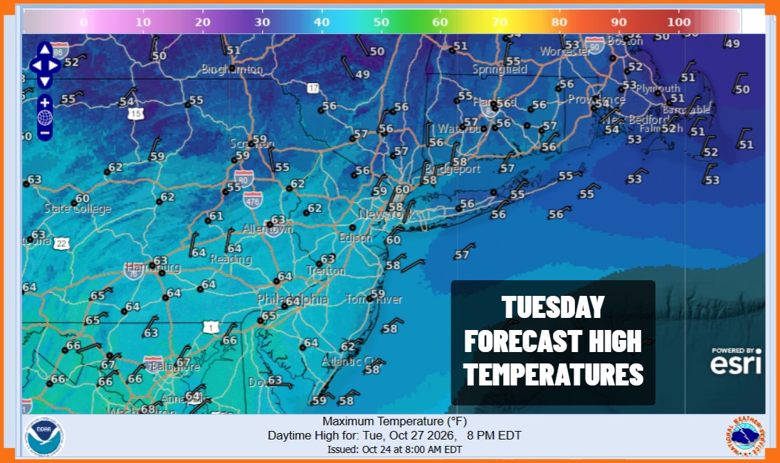
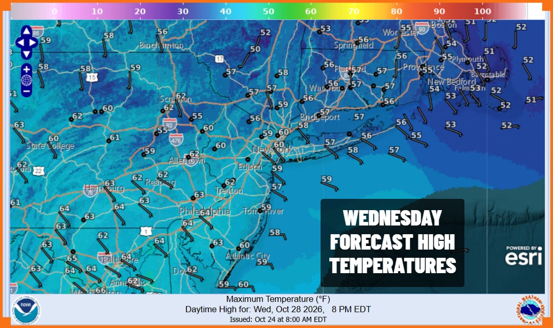
Tuesday night into Wednesday morning will be cold with lows in the 30s and even some 20s in cold spots inland while warmer urban centers will be in the upper 30s and lower 40s. Wednesday will be another sunny cloud free day with an east wind. High temperatures will reach the upper 50s to a few lower 60s.
High pressure settles to our south Thursday so temperatures will head back higher with sunshine taking highs to the mid and upper 60s. Another weak front passes but this one doesn’t all that much behind it when it comes to cooler air so Friday will be a repeat of Thursday with sunshine and highs in the mid to upper 60s. Right now it appears the weekend will continue to be free of any rain and we may have to wait until the middle of next week to see anything as far as showers are concerned.
MANY THANKS TO TROPICAL TIDBITS FOR THE USE OF MAPS
Please note that with regards to any severe weather, tropical storms, or hurricanes, should a storm be threatening, please consult your local National Weather Service office or your local government officials about what action you should be taking to protect life and property.
