

USE THE COUPON CODE “SPRING2026” AND GET 10 PERCENT OFF ON ANY PURCHASE

A Nice Dry Friday & Weekend Next Cold Front Due Next Tuesday
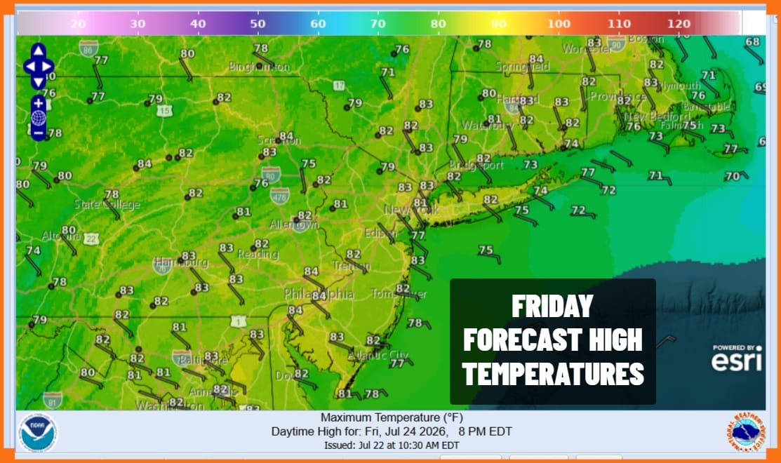
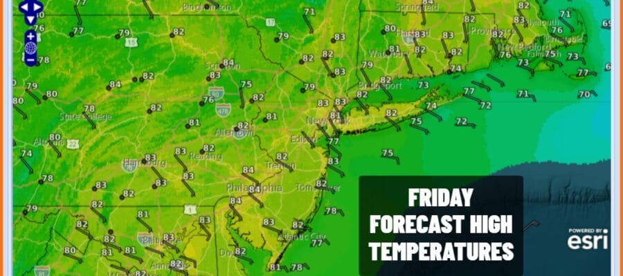
Another lovely weather day is underway across Eastern Pennsylvania to Southern New England. Blue skies and sunshine with low humidity will rule the region all day. There is a frontal boundary across the Southern Mid Atlantic but that zone will remain stationary so no rain is in the forecast for today nor is there any rain or thunderstorm risk through the weekend. High temperatures today will be in the low 80s in most places. A light breeze along the coast will keep the beaches a few degrees cooler. Most lows tonight under clear skies will be in the mid to upper 50s inland and low to mid 60s coast and warmer urban locations.
SATELLITE WITH LIGHTNING STRIKES

WEATHER RADAR

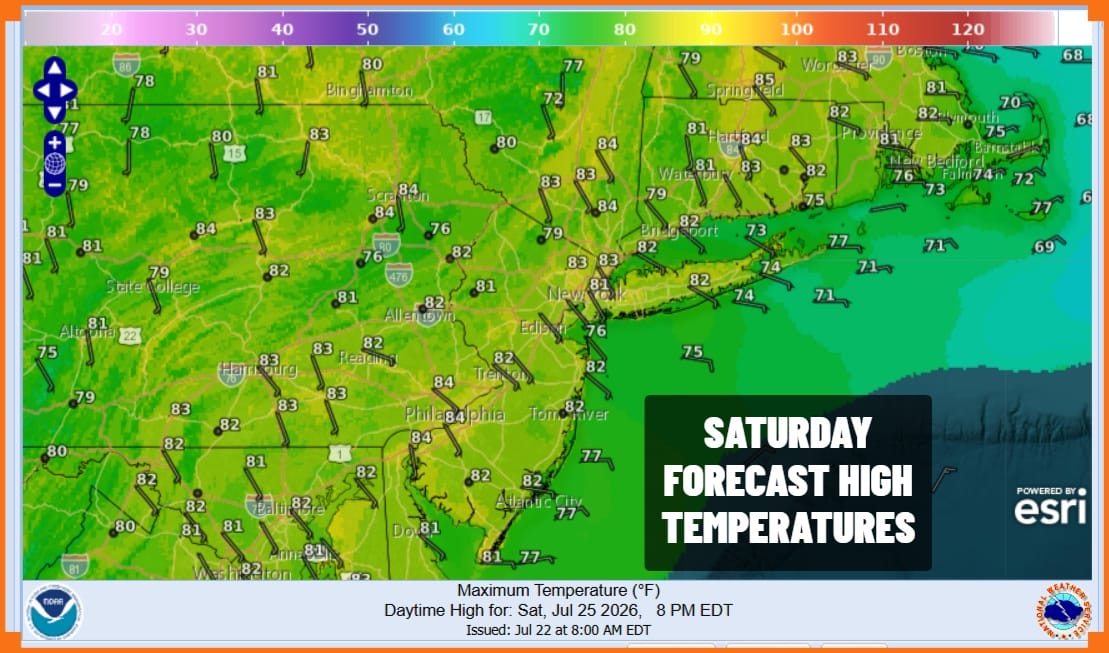
Moving on to the weekend we have no rain forecast. High pressure moves off the New England coast and holds on nicely keeping the southern frontal boundary from moving northward. Dew points will again be in the 50s making for a nice comfortable day of sunshine. High temperatures will reach the lower 80s and again it will be a few degrees cooler along the coast and the beaches with a wind off the ocean.
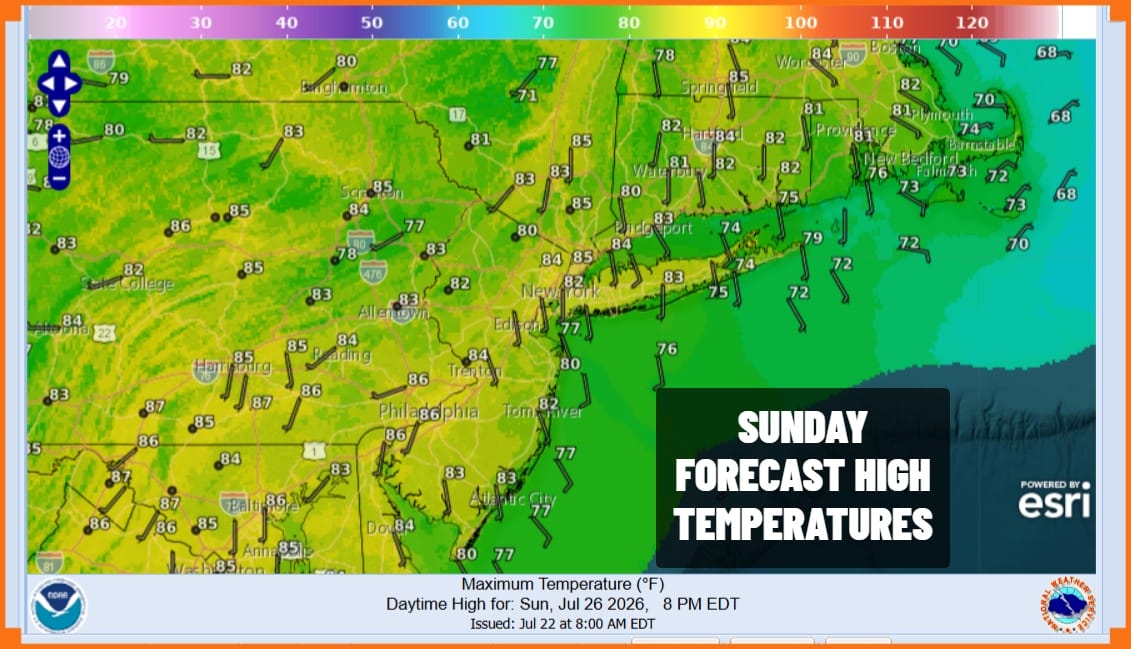
Sunday morning lows will be generally in the upper 50s to mid 60s from inland to the coast. Sunday is going to be another nice day with nothing more than some passing clouds along with a fair amount of sunshine. Dew points will rise to the lower 60s by later in the afternoon however it will still feel reasonably comfortable. Highs Sunday once again will be in the lower 80s with 70s at the area beaches.
Things will start moving again in the atmosphere Monday. It will still be rain free however dew points will be climbing up a little higher and temperatures will reach the middle 80s in many places with no worse than partly sunny skies. A cold front will approach Tuesday which will be a very warm and humid day. We will also have the risk for showers and thunderstorms late in the day as the cold front approaches.
BE SURE TO DOWNLOAD THE FREE METEOROLOGIST JOE CIOFFI WEATHER APP &
ANGRY BEN’S FREE WEATHER APP “THE ANGRY WEATHERMAN!
MANY THANKS TO TROPICAL TIDBITS FOR THE USE OF MAPS
Please note that with regards to any severe weather, tropical storms, or hurricanes, should a storm be threatening, please consult your local National Weather Service office or your local government officials about what action you should be taking to protect life and property.
