

USE THE COUPON CODE “summer2026” AND GET 10 PERCENT OFF ON ANY PURCHASE

Cooler Weekend Rain At A Minimum As High Pressure Takes Control
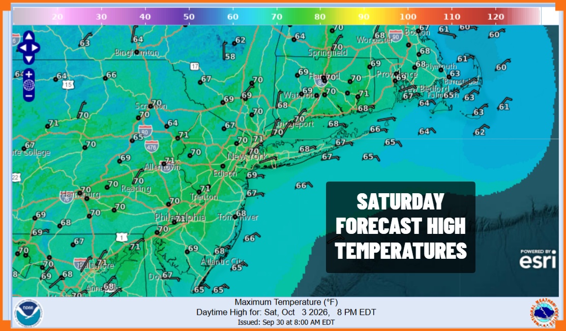
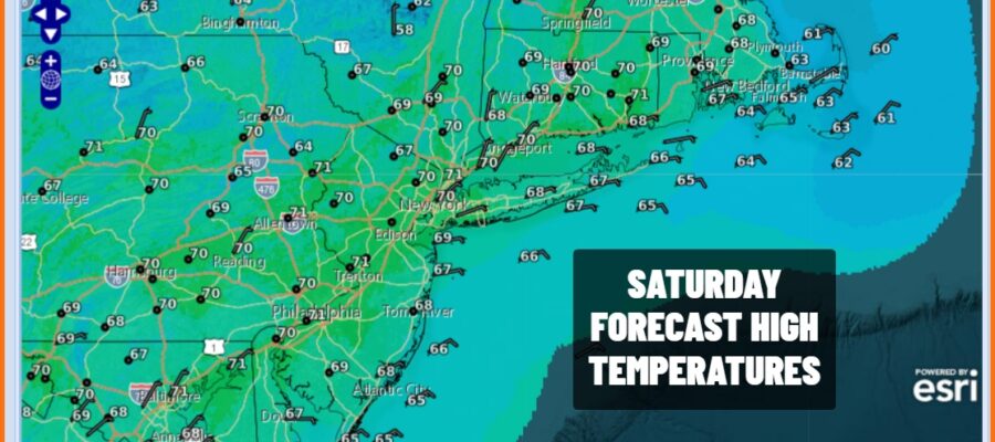
Last night’s cold front is pushing southward and while we do see some rain on the radar across Southern New Jersey most of that rain is aloft. In the meantime the cloud line lies across Northern New Jersey and New York City and this should sink southward today though it will only get so far south as the front stalls. We will call today mostly cloudy to partly sunny from south to north. A northeast to east wind will mean cooler temperatures this afternoon with most highs in the upper 60s and lower 70s which is about where we should be for this time of year.
SATELLITE WITH LIGHTNING STRIKES

WEATHER RADAR

All week long we have been struggling with the idea that a wave developing on the front will bring clouds back for tonight and Sunday and the chance that we could see some rain reaching northward to about Northern New Jersey, New York City and Long Island. If the front settles a little further south it could mean we miss the rain altogether and spend Sunday in a lot of clouds.
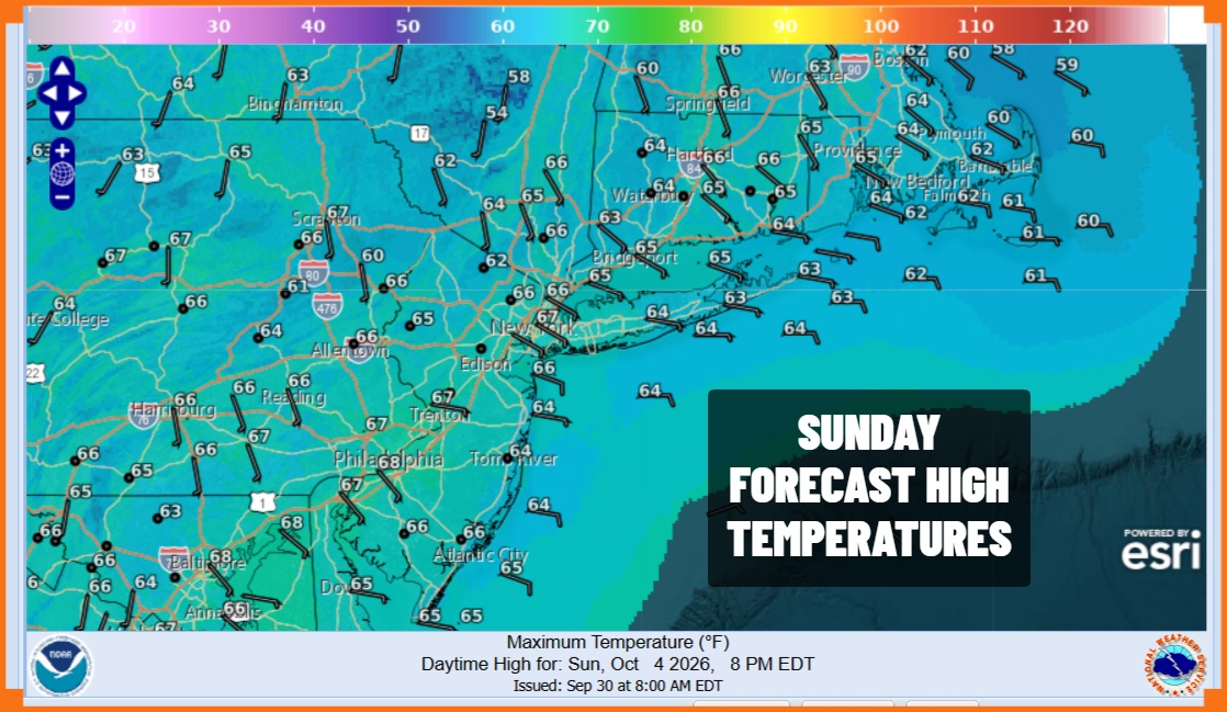
I’m going to go on the idea that I will leave the chance for some rain as far north as Central New Jersey. Otherwise much of the area will be mostly cloudy or even overcast with an ocean wind. Highs will be in the low to mid 60s. Another cold front passes Sunday night which forces everything to east and that will lead us into a very cool Autumn air mass that will arrive Monday and then really settle in for Tuesday into Wednesday.
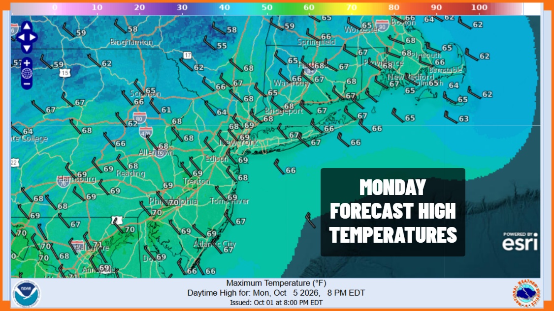
Monday morning lows will be in the 50s and Monday highs with sunshine will be in the mid to upper 60s. Then we see temperatures Tuesday morning in the 40s and Tuesday highs will only be in the upper 50s to lower 60s, again with sunshine. Tuesday night into Wednesday morning will be the coldest night since last May with lows in the 30s inland and low to mid 40s coast and warmer urban locations. Dry conditions continue Wednesday through Friday as temperatures rebound back closer to average. Little to no rain is forecast for all of next week.
MANY THANKS TO TROPICAL TIDBITS FOR THE USE OF MAPS
Please note that with regards to any severe weather, tropical storms, or hurricanes, should a storm be threatening, please consult your local National Weather Service office or your local government officials about what action you should be taking to protect life and property.
