

USE THE COUPON CODE “summer2026” AND GET 10 PERCENT OFF ON ANY PURCHASE

Dry Through Early Sunday Followed By Rain Heavy At Times
Later Sunday Into Monday
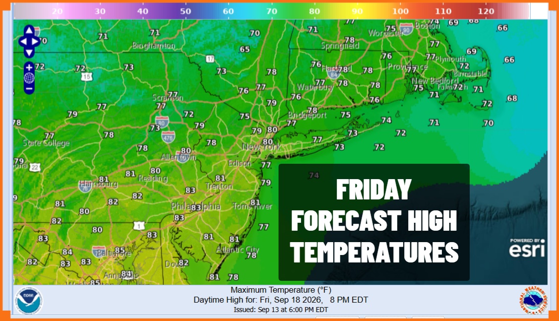
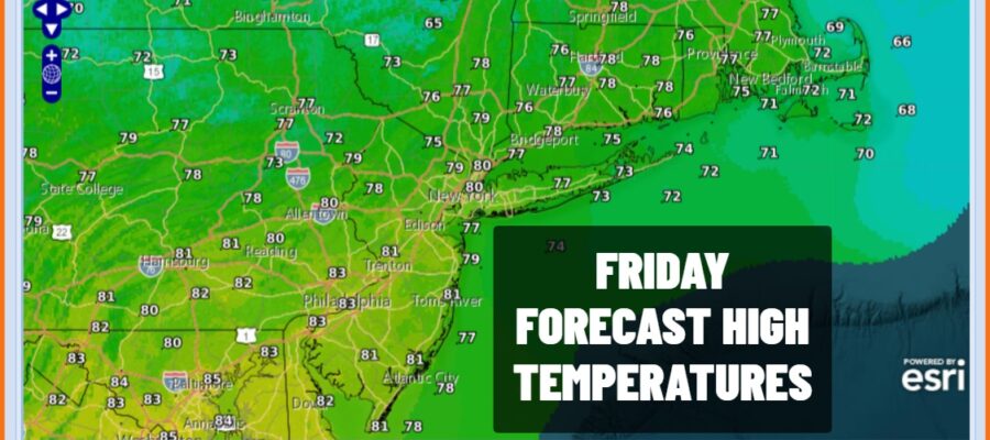
Dry air is arriving today from north to south though in areas across Southern Pennsylvania and Southern New Jersey, lower dew points won’t arrive until tonight. However areas to the north will see a noticeable drop in humidity today and temperatures will be lower too with no worse than partly sunny skies. Most highs today will be in the upper 70s to lower 80s. Then it turns much cooler tonight under clear skies and a north wind. By Saturday morning most lows area wide will be in the 50s. Not much is happening on the radars today other than some odd sprinkles in a few isolated areas this morning. Otherwise radars will be quiet into Sunday morning.
SATELLITE WITH LIGHTNING STRIKES

WEATHER RADAR

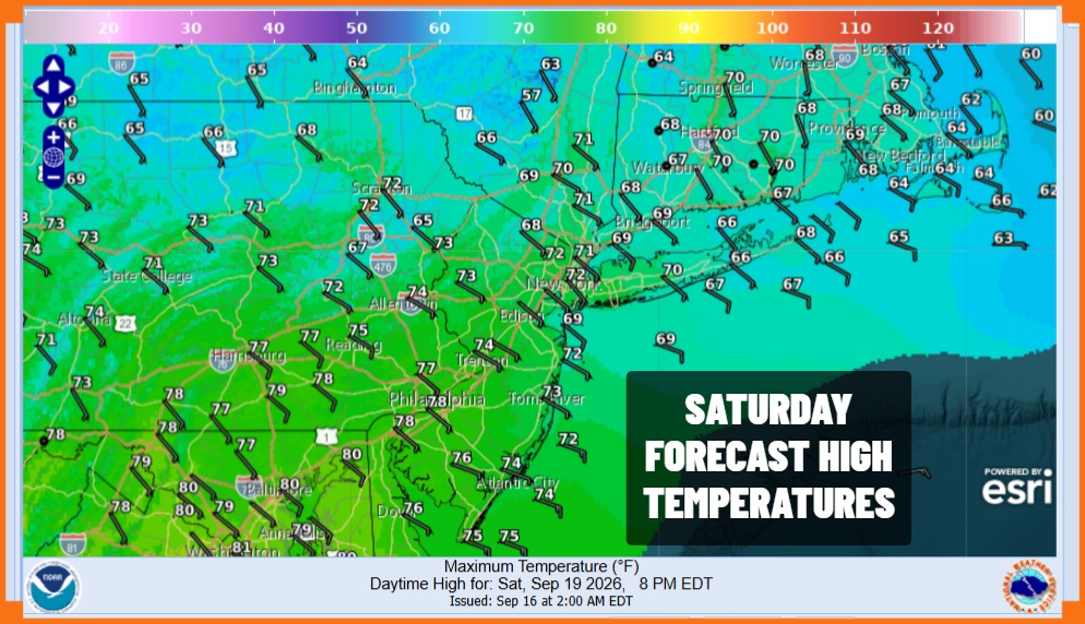
Saturday will be a very nice day and certainly will be the better of the two weekend days. We can expect to see lots of sunshine but it will be on the cool side thanks to high pressure in Eastern Canada and a northeast wind. High temperatures will be in the low to mid 70s in most places but from Long Island and Connecticut east and north, may areas will have a tough time getting out of the 60s.
Weather conditions will deteriorate Sunday especially from Central New Jersey and the northeast quarter of Pennsylvania north and east. A warm front is setting up to the south and low pressure riding along it from the Great Lakes is likely to bring rain by early afternoon in northern areas of Pennsylvania, New Jersey, New York City, the Hudson Valley, and Long Island. Rain in southern areas could hold off until late in the day.
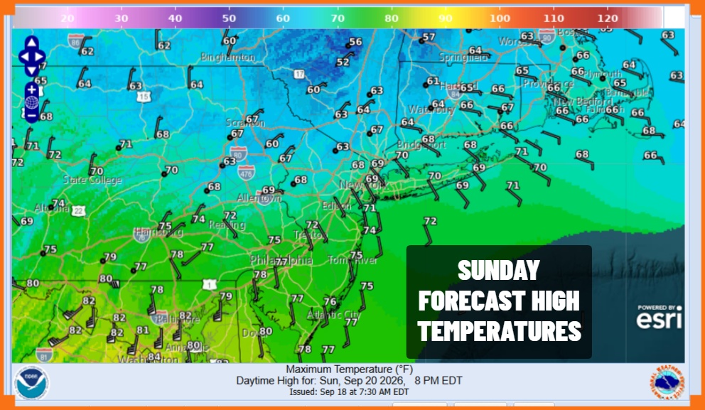
Where it is cloudy and eventually rainy it doesn’t get out of the 60s. Areas to the south where rain hoolds off should see temperatures reach the 70s before rain knocks temperatures back down. Rain heavy at times will occur Sunday night into Monday morning as the first wave goes by followed by a second stronger wave of rain for Monday night and Tuesday. Rainfall amounts area wide could reach several inches or more in the 3 day period Sunday through Tuesday so needless to say we are going probably have risks for localized flooding. We will zero in on specifics over the weekend and the Joe & Joe Weather Show podcast is back Sunday night on Youtube.
MANY THANKS TO TROPICAL TIDBITS FOR THE USE OF MAPS
Please note that with regards to any severe weather, tropical storms, or hurricanes, should a storm be threatening, please consult your local National Weather Service office or your local government officials about what action you should be taking to protect life and property.
