

USE THE COUPON CODE “summer2026” AND GET 10 PERCENT OFF ON ANY PURCHASE

Scattered Showers & A Mix of Sun & Clouds Begin The New Week
Satellite loops this morning are showing an obvious rotation spinning around in Eastern Canada. This is a cold upper air storm system and it is creating a cold unstable atmosphere across the Northeast and Northern Mid Atlantic states. There are spokes of energy rotating around this upper low. Each time a spoke moves through it brings clouds, and later today it could bring a scattered shower or thunderstorm but I think that most of you won’t see anything and anything that does develop should come and go rather quickly. The Storm Prediction Center is not indicating any risk for severe thunderstorms across much of the Northeast today.
SATELLITE WITH LIGHTNING STRIKES

WEATHER RADAR

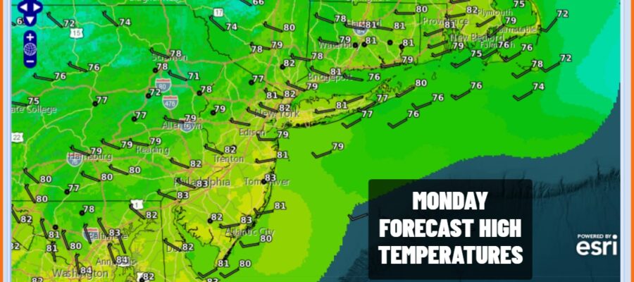
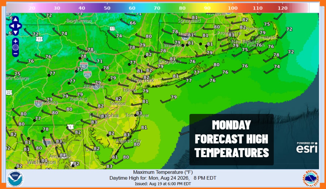
Outside of the shower risk, the mix of sun and clouds forecast should be enough to take highs to the upper 70s and lower 80s. The upper low is also forcing dry air to mix down to the surface so we are enjoying a nice break in humidity for the next 3 days. Dew points will be settling in the 50s so at least it will be comfortable.
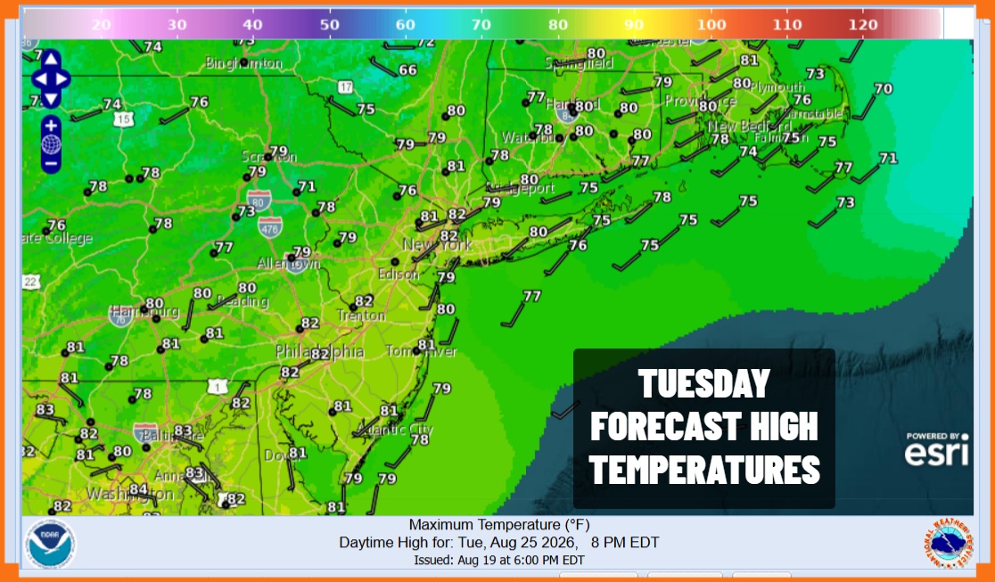
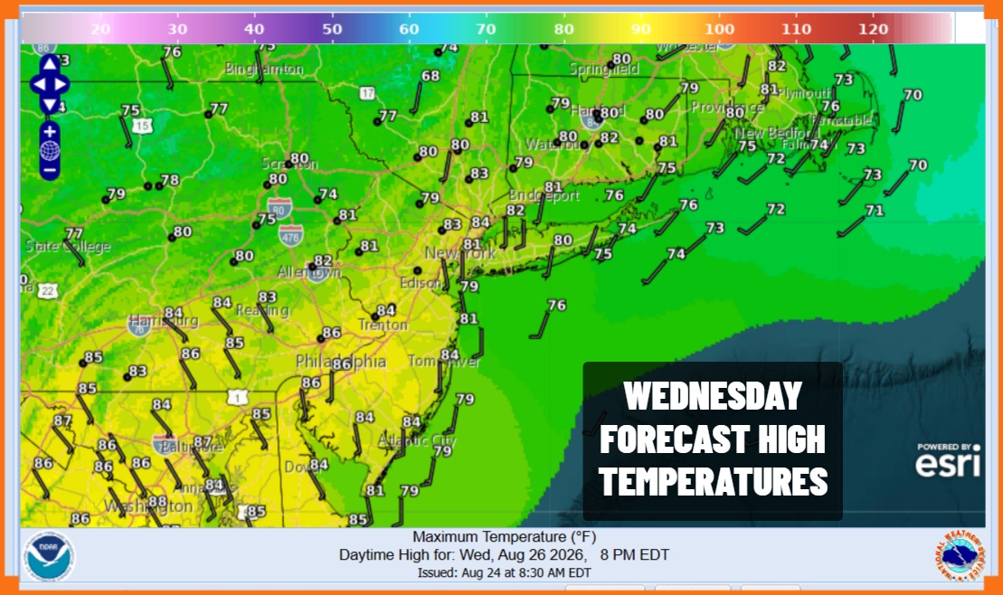
Low temperatures tonight will be in the mid to upper 50s inland and upper 50s and lower 60s closer to the coast and warmer urban areas. Tuesday’s outlook is the same as today’s as there is the risk for an isolated shower or thunderstorm. Other wise it is a mix of sun and clouds and highs again will be in the upper 70s and lower 80s. Wednesday should be a day of no shower risk and sunshine with highs reaching the lower 80s just about everywhere. Dew points will still be reasonable.
 Thursday brings the next cold front and humidity levels will climb Wednesday night and Thursday, setting us for shower and thunderstorm activity. Right now it is too early to predict if there will be any issues with severe weather or flash flood risks but we will be monitoring the situation closely. The front should pass Thursday night and move offshore and Friday is looking like a decent day of some sunshine with highs in the lower 80s.
MANY THANKS TO TROPICAL TIDBITS FOR THE USE OF MAPS
Please note that with regards to any severe weather, tropical storms, or hurricanes, should a storm be threatening, please consult your local National Weather Service office or your local government officials about what action you should be taking to protect life and property.
