

USE THE COUPON CODE “SPRING2026” AND GET 10 PERCENT OFF ON ANY PURCHASE

Increasing Chances for Thunderstorms, Severe Weather,
Flash Flooding All Week Long
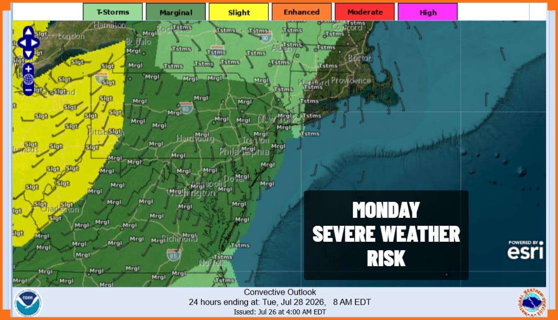
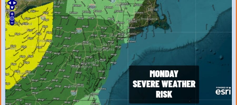
Given that we have seen some delightful weather conditions over the last four days, it seemed rather likely that there is going to be some payback. That begins today in a small way as the Storm Prediction Center has indicated a marginal risk for isolated severe thunderstorms this afternoon and evening. The highest chances for this will be inland rather than the coast but we can’t rule it out completely.
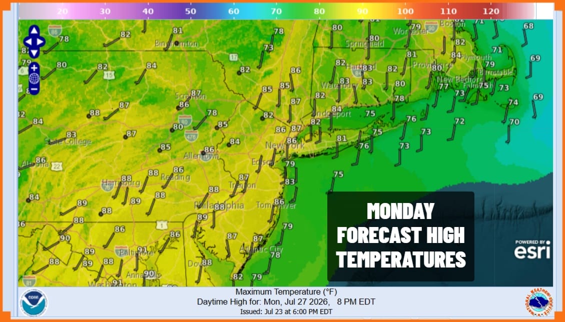
Ahead of any thunderstorms, we are going to see temperatures rise somewhat today and humidity levels will be going up as well. We will see sunshine into the afternoon but the satellite loop shows disturbances to the northwest moving southeast and those disturbances will be the catalyst for thunderstorm development late today. Not everyone will get these storms. Highs today will reach the mid 80s except of course a little cooler at the beaches.
SATELLITE WITH LIGHTNING STRIKES

WEATHER RADAR

Once the storms reach their peak strength this evening they will die off and then we turn to Tuesday where an upper trough will stall out overhead and a cold front approaches. Add to this a developing low on the front that plans to sit around for awhile and you have the ingredients for weather issues that include severe weather risk, heavy rain, and local flash flooding.
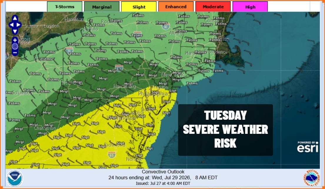
Severe weather risk increases Tuesday with a slight risk from Central New Jersey southward and a marginal risk reaching up to about New York City and Northern New Jersey. Thunderstorms and heavy downpours will develop during Tuesday with the heaviest and the strongest storms in the afternoon and evening. High temperatures will be in the 70s to some lower 80s. Rainfall amounts through Wednesday evening will be in the 2 inches or more range if we broad brush it but given we are talking convection here, amounts locally could be double the forecast.
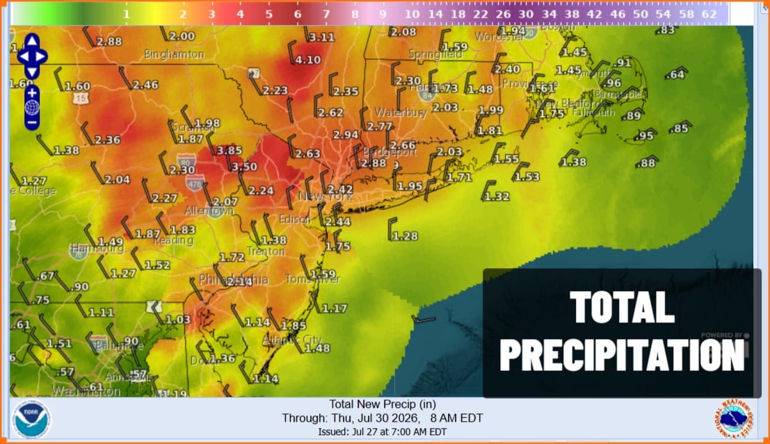
Everything in the upper atmosphere is coming to a grinding halt so you can expect showery rains and some heavy downpours to continue on and off Wednesday through Friday. We will have to wait for the upper air features to start moving again and that probably doesn’t happen until the end of the week or the weekend. At least the prolonged period of wet conditions will go a long way to alleviating the dry conditions that still exist over Eastern Pennsylvania to Southern New England.
MANY THANKS TO TROPICAL TIDBITS FOR THE USE OF MAPS
Please note that with regards to any severe weather, tropical storms, or hurricanes, should a storm be threatening, please consult your local National Weather Service office or your local government officials about what action you should be taking to protect life and property.
