

USE THE COUPON CODE “SPRING2026” AND GET 10 PERCENT OFF ON ANY PURCHASE

Nice Weather Continue Into Early Monday, Storms Late Monday,
Severe Weather Risk Tuesday
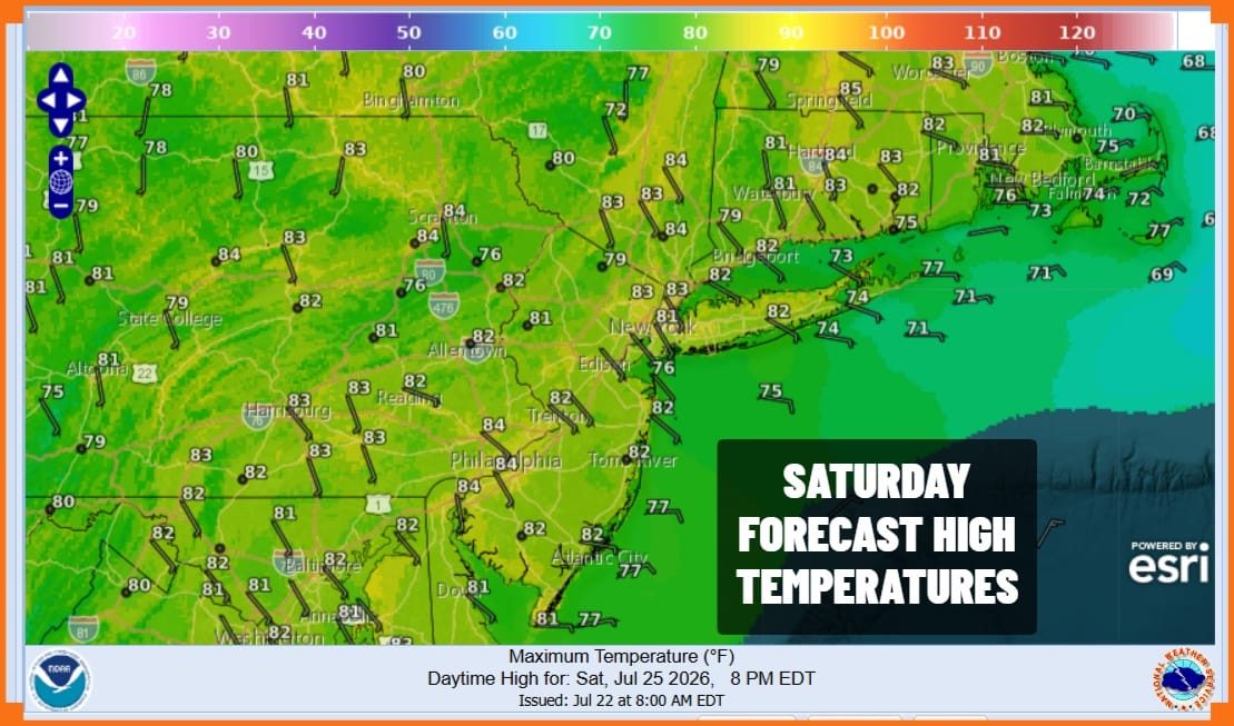
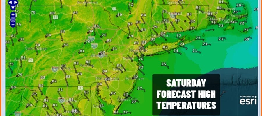
The weekend is here and this is going to be the third day in a row of nice weather, sunshine, low humidity and no showers or thunderstorms around. Satellite loops show clouds to the south and this is due to a wave of low pressure along a stalled frontal boundary. That boundary has been lying across southern Virginia and North Carolina. That boundary is sinking further south today as will the clouds to the south so it really is not an issue. Temperatures this afternoon will reach the lower 80s with 70s at the coast. Dew points are in the 50s making for very comfortable conditions. Tonight we have another clear and comfortable night with Sunday morning lows in the upper 50s inland and low to mid 60s coast and warmer urban locations.
SATELLITE WITH LIGHTNING STRIKES

WEATHER RADAR

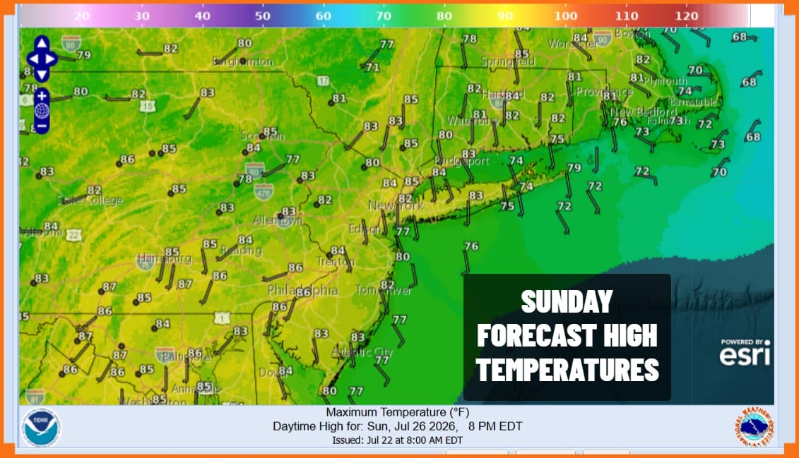
Moving on to Sunday we will have our 4th day of low humidity, sunshine, a nice breeze off the ocean, and temperatures topping out in the lower 80s with 70s along the coast. This has been an usual stretch of weather for July and specifically what is normally the hottest 2 weeks of the year but these sorts of air masses tend to come when the come and this one was exceptional.
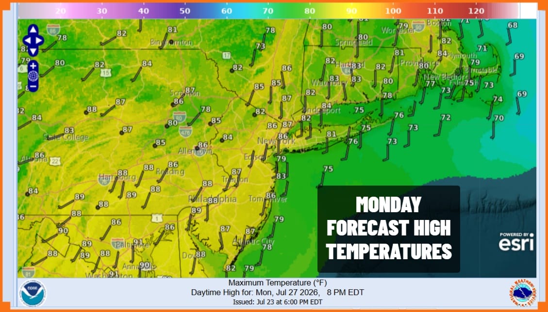
Notice I used past tense in describing our weather because this all does come to an end Monday. Humidity levels will be rising, not to excessive levels but still higher. Also we do have an upper trough coming through. It is weak but there is enough there for the chance of afternoon scattered thunderstorms. Monday highs will reach the low and middle 80s.
Tuesday we have a stronger upper trough coupled with a cold front and that means humidity climbs even higher with dew points back to 70. Also we have the risk for thunderstorms in the afternoon and evening and the Storm Prediction Center is already indicating severe weather risk in it’s long range outlook so we will be pay close attention to how this weather system presents itself later Tuesday. This front is likely to stall and hang around for a couple of days so we could see showery rains Wednesday and possibly Thursday.
MANY THANKS TO TROPICAL TIDBITS FOR THE USE OF MAPS
Please note that with regards to any severe weather, tropical storms, or hurricanes, should a storm be threatening, please consult your local National Weather Service office or your local government officials about what action you should be taking to protect life and property.
