Warm Humid & More Thunderstorms Possible
Back to Heat Humidity Friday & Weekend
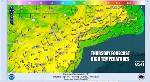
A weather front that set off some thunderstorms and severe weather late Wednesday is still lagging behind to the west. It will eventually come through today and we will might see another shower or thunderstorm or two before the day is out. Clouds and some sun will be in the mix in between. High temperatures today will reach the mid 80s to near 90 degrees with temperatures slightly lower at the shore. While there might be some storms around the Storm Prediction Center is not indicating risk for severe thunderstorms in the mix and we agree with that forecast assessment.
SATELLITE WITH LIGHTNING STRIKES
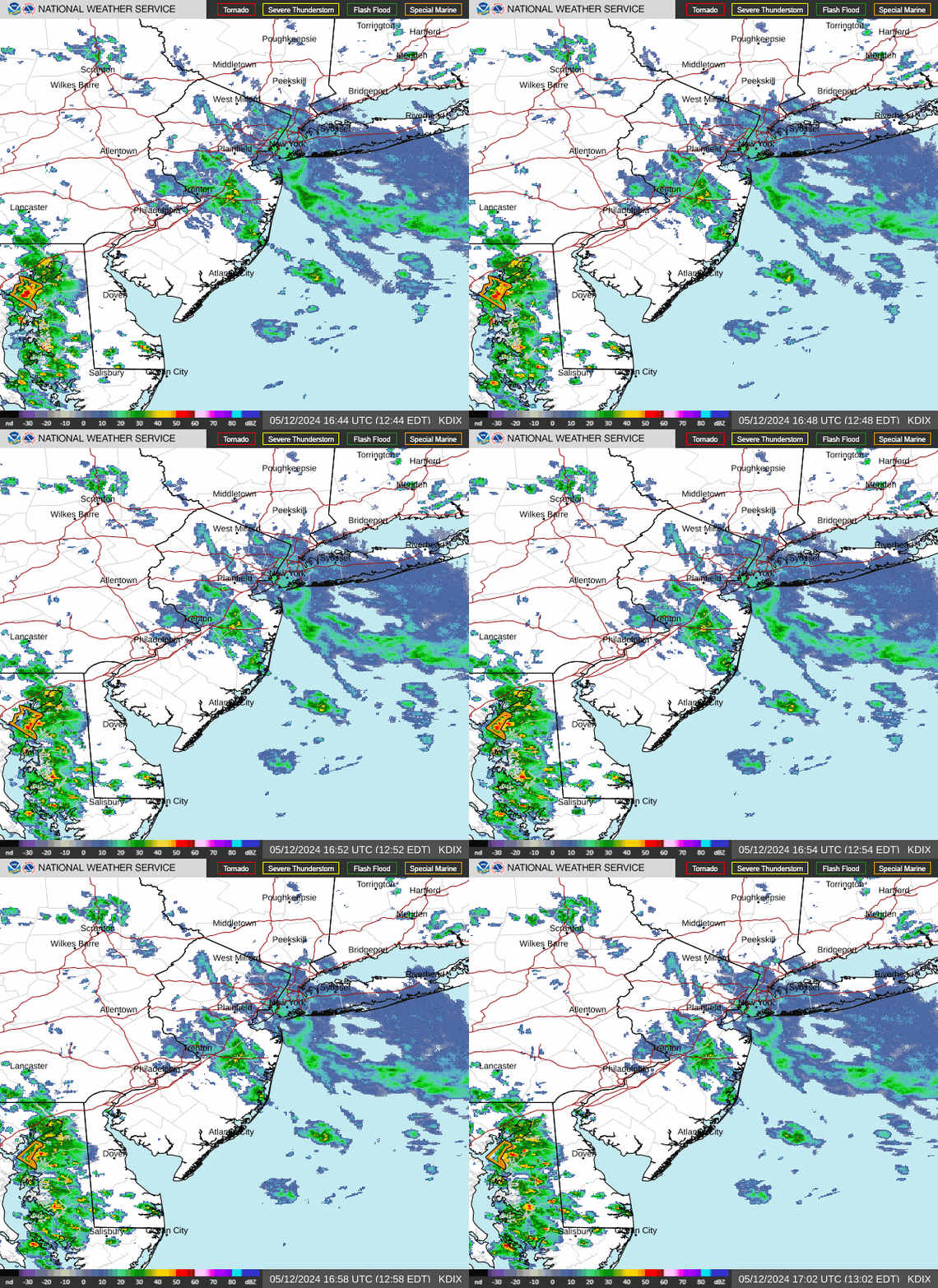
WEATHER RADAR
Once we get the front offshore tonight we will see a wind shift to the northeast. Dry air will try and move southward but it will only lower humidity levels slightly if you are north of NYC and if you are to the south, you may not notice the change very much at all. Most lows tonight with leftover clouds will be in the 60s inland to around 70 degrees or so in warmer urban locations.
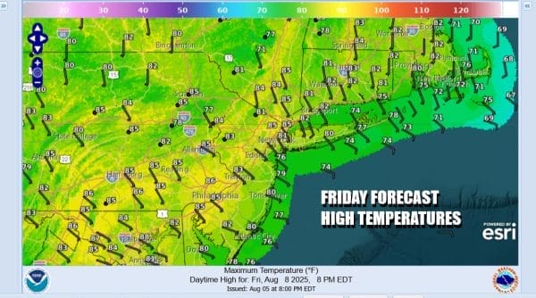
Friday we will have an onshore wind again and it will be dry enough for partly to mostly sunny skies. We will take high temperatures back a notch or two with highs mostly in the low to mid 80s inland. Along the coast with ocean wind most highs will be in the 70s to around 80 degrees. Friday should also be a shower and thunderstorm free day.
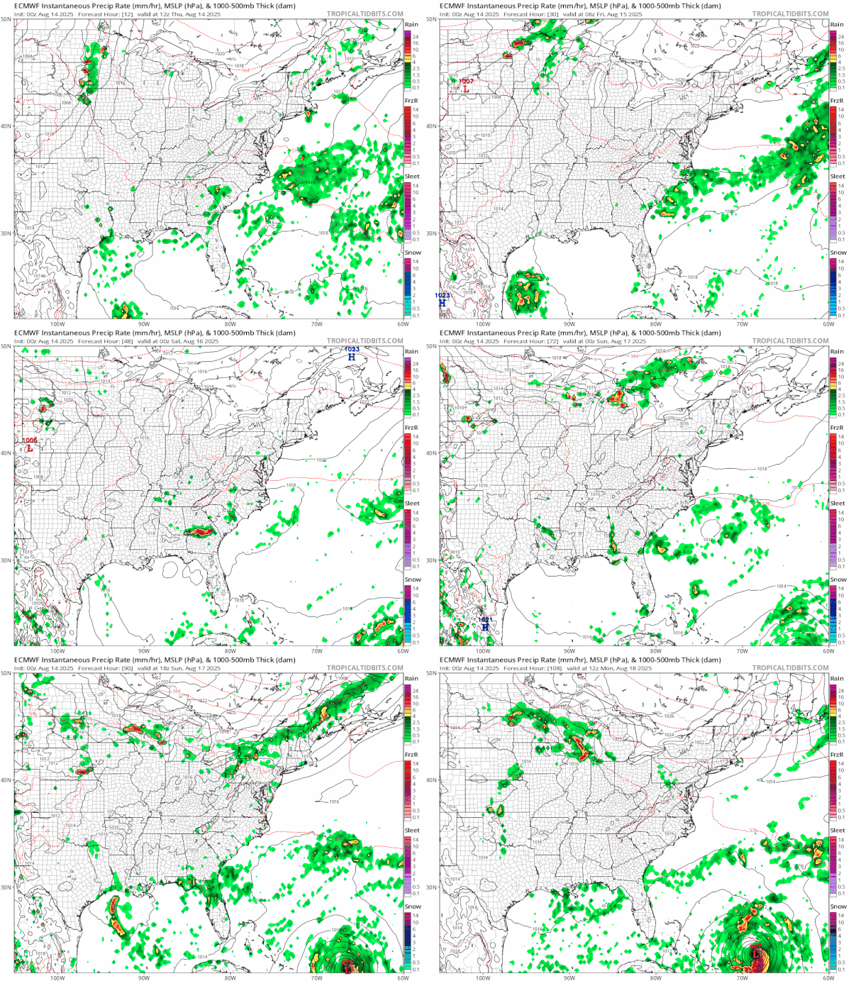
The weekend sees a return to heat and humidity though it will remain contained thanks to at least a partial flow of air over the ocean. Saturday we are looking at sunshine and a few clouds. We are going to throw in the chance for an isolated shower or thunderstorm. Highs will reach the mid to upper 80s. Sunday we will see highs reach the upper 80s and lower 90s with some sunshine. A cold front will be approaching and moving through and with that we have the chance for some late thunderstorms Sunday. Tropical Storm Erin could be a major hurricane by Sunday evening. You can see it on the lower right on the European model loop above. We have additional coverage of Erin available on my subscription site on Patreon.
BE SURE TO DOWNLOAD THE FREE METEOROLOGIST JOE CIOFFI WEATHER APP \&
ANGRY BEN’S FREE WEATHER APP “THE ANGRY WEATHERMAN!
MANY THANKS TO TROPICAL TIDBITS FOR THE USE OF MAPS
Please note that with regards to any severe weather, tropical storms, or hurricanes, should a storm be threatening, please consult your local National Weather Service office or your local government officials about what action you should be taking to protect life and property.


