Onshore Flow All Week & Hurricane Erin Offshore
But Roughing Up The Coast With High Surf & Coastal Flooding
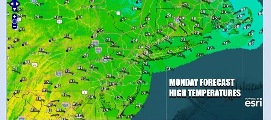
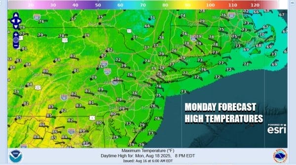
A weather front has passed and is heading south and today begins a week of winds from the east and northeast as high pressure builds into Southeastern Canada, Northern New England and Atlantic Canada. It appears that enough dry air will be moving southward to keep us from falling into the trap of onshore winds and lots of clouds. Instead today we will see no worse than partly sunny skies with a northeast wind. Temperatures today will be in the 70s for highs. If you are in Central and South Jersey, Southern Pennsylvania and points southward, dew points will still be running high so it will still be rather humid. However across Northern New Jersey, New York City and points north and northeast, dew points will be settling in the 50s making for a much more comfortable day.
SATELLITE WITH LIGHTNING STRIKES
WEATHER RADAR
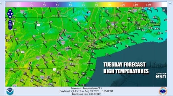
The dew point relief will make it further south over the next 2 days and skies will be partially clear tonight. Most lows will be in the mid to upper 50s Tuesday morning with lower 60s in warmer urban locations. Tuesday will be no worse than partly sunny. Highs again will be in the cooler 70s with winds off the ocean. Humidity levels will be in the comfortable 50s and even in areas across South Jersey, Southern Pennsylvania and points south, dew points will be dropping to more comfortable levels.
Meanwhile we have have Major Hurricane Erin which is showing some signs of restrengthening after going through an eyewall replacement cycle over the last day or so. Max winds on the morning advisory are 130 mph and we will probably see the hurricane both strengthen and it will also continue to expand covering more and more geography as it gains latitude on a northwest course.
Hurricane Erin Satellite Loop
Nothing much has changed in the forecast. Erin is going to gradually turn more northward over time and it will pass east of the easternmost Bahamas, though tropical storm warnings are up for those islands. Then it will head northward about a couple of hundred miles off the US Southeast coast. We will see rough ocean seas and rip currents from Florida to Southeastern New England all week along and, as we approach a new moon some coastal flooding at high tide is possible from Delaware to New England.
There is a weak upper trough that will approach Wednesday and that might bring a shower or thunderstorm late in the day but overall it will be no worse than partly sunny with highs in the 70s. Hurricane Erin will make its closest pass to the Outer Banks of North Carolina Wednesday night and Thursday and we could see northeast winds along the coast increase Thursday as the gradient tightens. However Erin at this point will be turning northeast and out to sea. Nonetheless the risk for rip currents and coastal flooding as well as rough ocean seas and beach erosion will continue for the rest of the week and probably into the start of the weekend. Thursday and Friday will be no worse than partly sunny with highs back in the 80s. Winds will start turn more to the south late week and that will bring higher levels of humidity Friday and over the weekend.
BE SURE TO DOWNLOAD THE FREE METEOROLOGIST JOE CIOFFI WEATHER APP &
ANGRY BEN’S FREE WEATHER APP “THE ANGRY WEATHERMAN!
MANY THANKS TO TROPICAL TIDBITS FOR THE USE OF MAPS
Please note that with regards to any severe weather, tropical storms, or hurricanes, should a storm be threatening, please consult your local National Weather Service office or your local government officials about what action you should be taking to protect life and property.


