

USE THE COUPON CODE “summer2026” AND GET 10 PERCENT OFF ON ANY PURCHASE

Humidity Rises Today But Drops Again Later Friday & Saturday
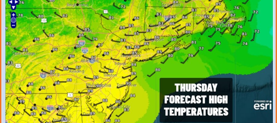
We have an upper trough that is headed our way that will bring drier air later Friday and into the weekend. Thunderstorms overnight over parts of the Hudson Valley and Long Island have effectively stabilized the atmosphere so we are not expecting much from this next system other than perhaps some clouds. We look for a mix of sun and clouds today with highs in the mid to upper 80s. No showers or thunderstorms are forecast today however we could see a passing shower overnight as the upper trough swings through. Overnight lows will be in the mid 60s to lower 70s.
SATELLITE WITH LIGHTNING STRIKES

WEATHER RADAR

Drier air from the north will be slow to arrive today so it will be humid into the afternoon before dew points move lower. Skies should be partly to mostly sunny after some morning leftover clouds get out of the way. High temperatures will generally be in the low to middle 80s. We should see clear skies with most lows in the 60s overnight into Saturday morning.
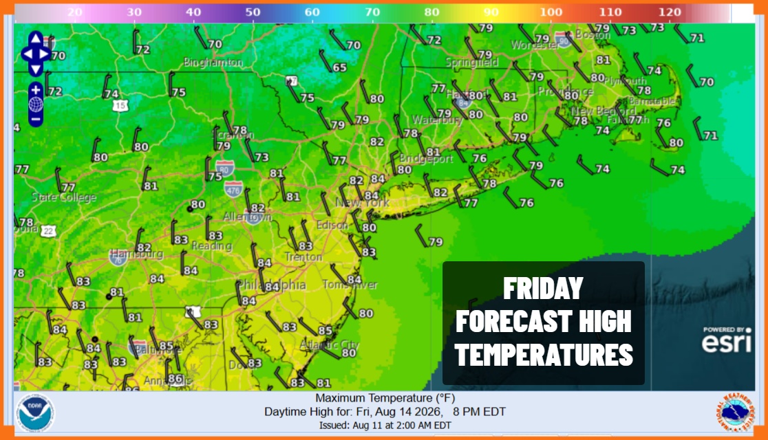
We will see lower humidity in general for Saturday however there are a couple of changes in the weekend outlook. Firstly the push of dry air seems less robust than what it looked like a few days ago. The second is that the next warm front cold front combination is coming in faster for Sunday. This leaves us with a nice Saturday and definitely better than the two weekend days.
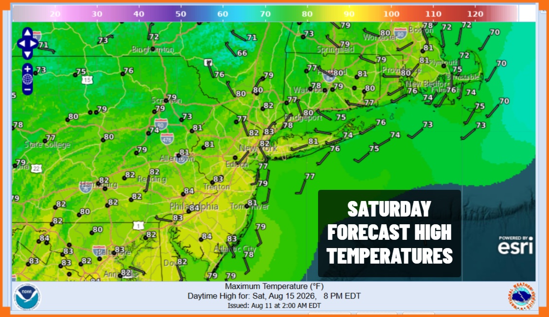
Saturday temperatures will top out in the low to middle 80s. Dew points will be reasonable though in South Jersey and points south they may be higher and there it will feel somewhat humid. The for Sunday as the next system we look for clouds and also we will see showers and thunderstorms as the day wears on. Most highs Sunday will be in the lower 80s depending on how fast clouds roll in. Showers and thunderstorms likely continue Sunday night into at least part of Monday before improving weather conditions settle in.
MANY THANKS TO TROPICAL TIDBITS FOR THE USE OF MAPS
Please note that with regards to any severe weather, tropical storms, or hurricanes, should a storm be threatening, please consult your local National Weather Service office or your local government officials about what action you should be taking to protect life and property.
