

USE THE COUPON CODE “summer2026” AND GET 10 PERCENT OFF ON ANY PURCHASE

Hot Humid & The Risk For Thunderstorms Later Today
Late Week Break in the Humidity
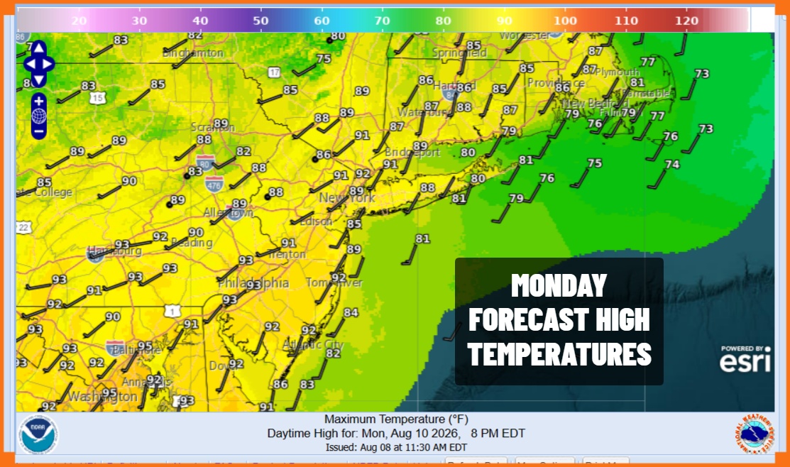
The very slight break in humidity has come to an end and we are going to see dew points move back above 70 again. This means humidity will be high and couple that with sunshine taking taking temperatures to the lower 90s today and you have one very uncomfortable day for sure. Some relief will be available at area beaches where local sea breezes will knock temperatures down by a few degrees especially south and east facing shorelines.
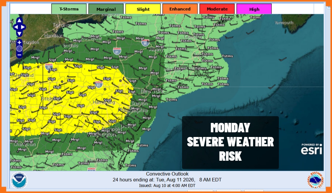
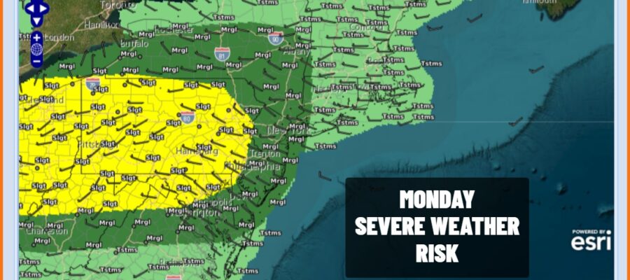
Late this afternoon and evening we have the risk for thunderstorms. There is an upper trough to the west but and an associated weather front but that will not get here until late Tuesday. Thunderstorms will be running out ahead of that system and the Storm Prediction Center is indicating a marginal risk for isolated severe thunderstorms this afternoon and evening. A higher risk exists in Pennsylvania mainly west of the I-81 corridor.
SATELLITE WITH LIGHTNING STRIKES

WEATHER RADAR

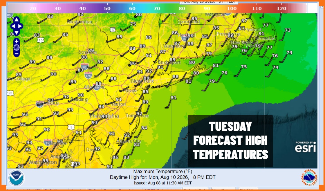
Once any thunderstorm activity diminishes later this evening it will be warm overnight with lows in the upper 60s and lower 70s. Tuesday brings another day of very warm to borderline hot conditions and elevated humidity. We do have thunderstorm risk in the afternoon and evening but it appears that severe weather risk will lie more to the south in the Mid Atlantic states. Tuesday highs will be in the upper 80s to near 90.
We are going to see slightly lower temperatures and humidity at least to start Wednesday and then we will see humidity rise Thursday ahead of another cold front. The day to look forward to this week is Friday when dew points are forecast to drop significantly and we will also have more reasonable temperatures thanks to a nice little high pressure area that slides southeast from Canada. The dry air might last into at least part of the upcoming weekend so keep your fingers crossed on this.
MANY THANKS TO TROPICAL TIDBITS FOR THE USE OF MAPS
Please note that with regards to any severe weather, tropical storms, or hurricanes, should a storm be threatening, please consult your local National Weather Service office or your local government officials about what action you should be taking to protect life and property.
