
USE THE COUPON CODE “summer2026” AND GET 10 PERCENT OFF ON ANY PURCHASE

Halloween Sunshine No Rain In The Forecast Until At Least Next Thursday
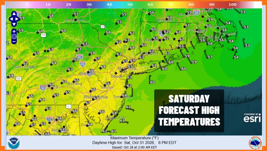
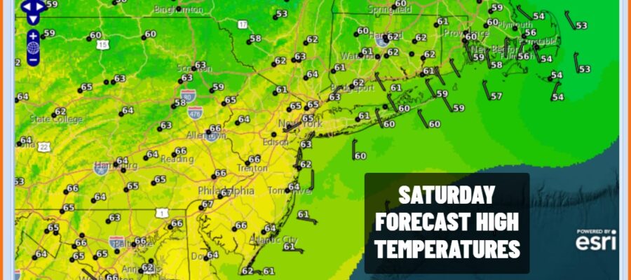
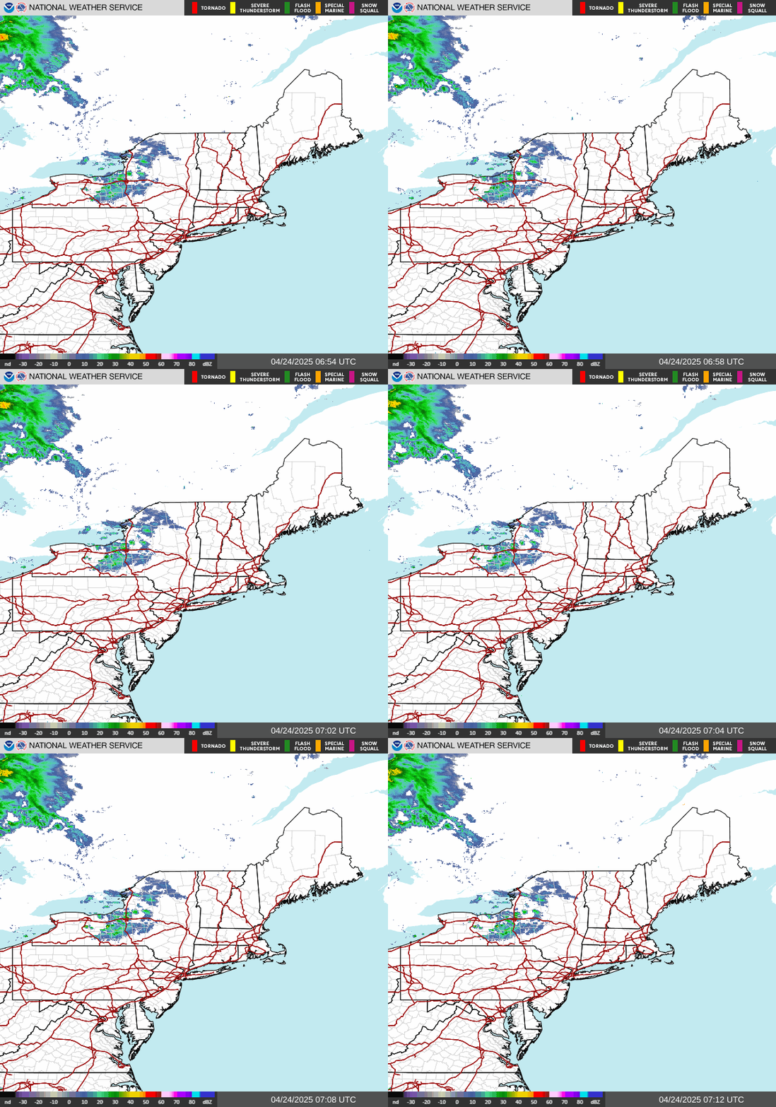
A new Canadian high pressure area is building into Southeastern Canada. This brings another yet another shot of dry air into the Northeast and Mid Atlantic states coupled with a northeast wind. Temperatures today will be about 10 degrees or so lower than yesterday as afternoon highs will be in a range of 60 to 65 degrees. We will have plenty of sunshine today with nothing more than a few passing clouds. This will be followed by another night of clear skies and cold conditions. Most inland lows will be in the 30s with warmer urban centers bottoming in the lower 40s. Radars of course remain in full shutdown mode.
SATELLITE WITH LIGHTNING STRIKES

WEATHER RADAR
Sunday starts off chilly but we will have plenty of sunshine. High pressure moves overhead so there are no issues other than perhaps a passing cloud or two here and there. The core of the cool air mass will be heading out today so temperatures this afternoon will top out in the low to middle 60s.
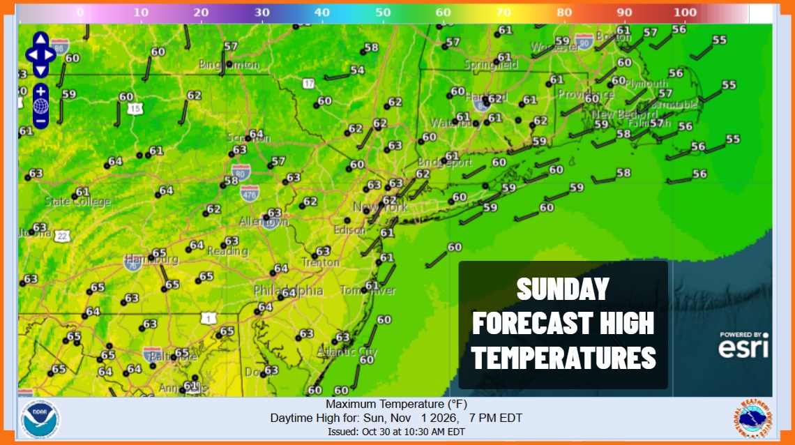
Moving into next week we see high pressure off the Eastern Seaboard building back into the Middle Atlantic states. Rainy weather continues to our west up and down the Mississippi River Valley but we likely have to wait until late in the week, at least into Thursday before any cold front can approach with the risk for showers.
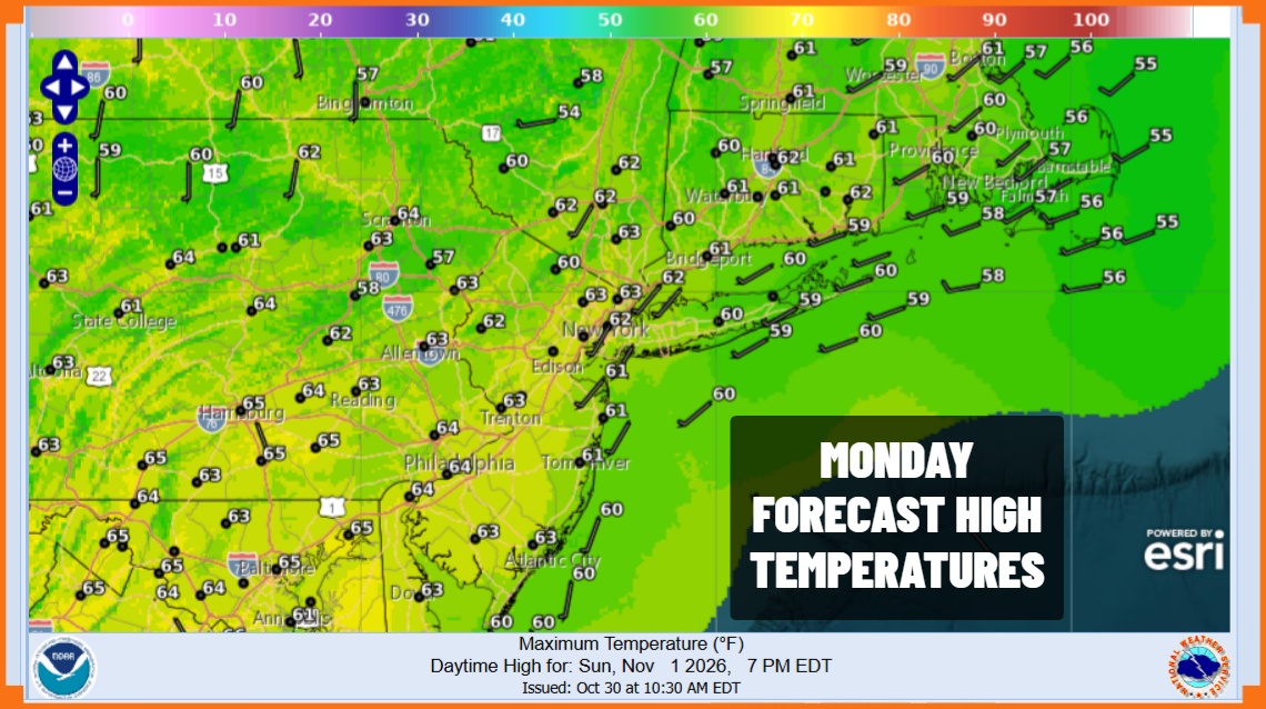
Monday through Wednesday will feature varying amounts of sunshine ranging from sunny at times to at worst partly sunny. Temperatures each day will likely climb to the mid to upper 60s. We may get a few odd warm spots that touch the 70 degree mark. Nights will be mainly clear or no worse than partially clear and nighttime lows will generally be in the 40s though it will warm up a bit as we head into mid week. Some nighttime and early morning patchy fog is likely to develop but it won’t last long once the sun is high enough in the sky. Thursday into Friday an approaching cold front should be close enough to set off some showers though it is not a 100 percent guarantee at this point.
MANY THANKS TO TROPICAL TIDBITS FOR THE USE OF MAPS
Please note that with regards to any severe weather, tropical storms, or hurricanes, should a storm be threatening, please consult your local National Weather Service office or your local government officials about what action you should be taking to protect life and property.
