

USE THE COUPON CODE “summer2026” AND GET 10 PERCENT OFF ON ANY PURCHASE

Dry Weather All Week Long No Rain or Storms Are In Sight
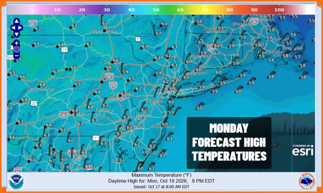
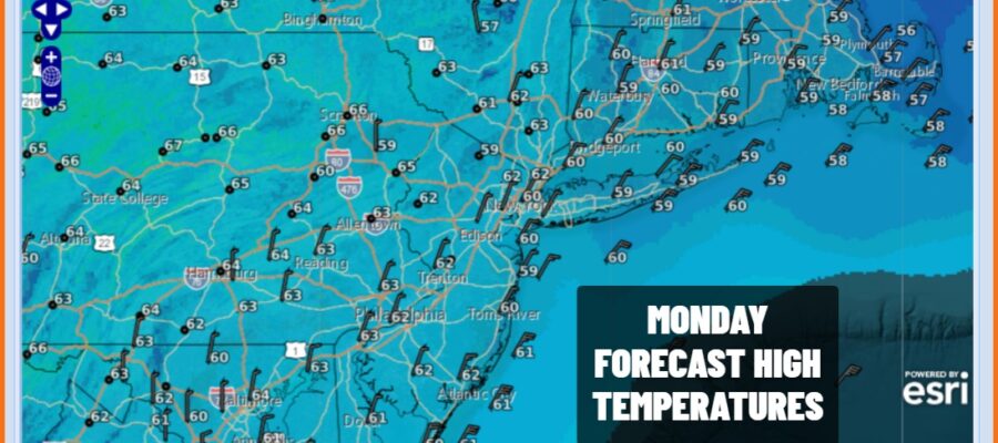
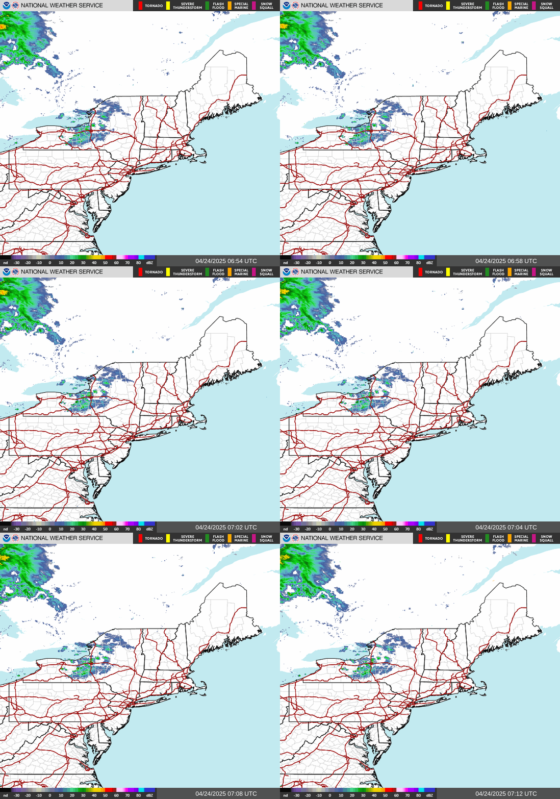
A cold start to the day but it was not quite as cold as Sunday morning. This is setting us up for a bounce higher in temperatures today as the core of the cold air mass moves out to the east. However the bounce is going to be limited as high pressure wedges in from the Northeast. We will see plenty of sunshine today and temperatures will reach back into the lower 60s in most places this afternoon. Satellite loops show mostly cloud free conditions and radars are on hiatus for quite a while.
SATELLITE WITH LIGHTNING STRIKES

WEATHER RADAR
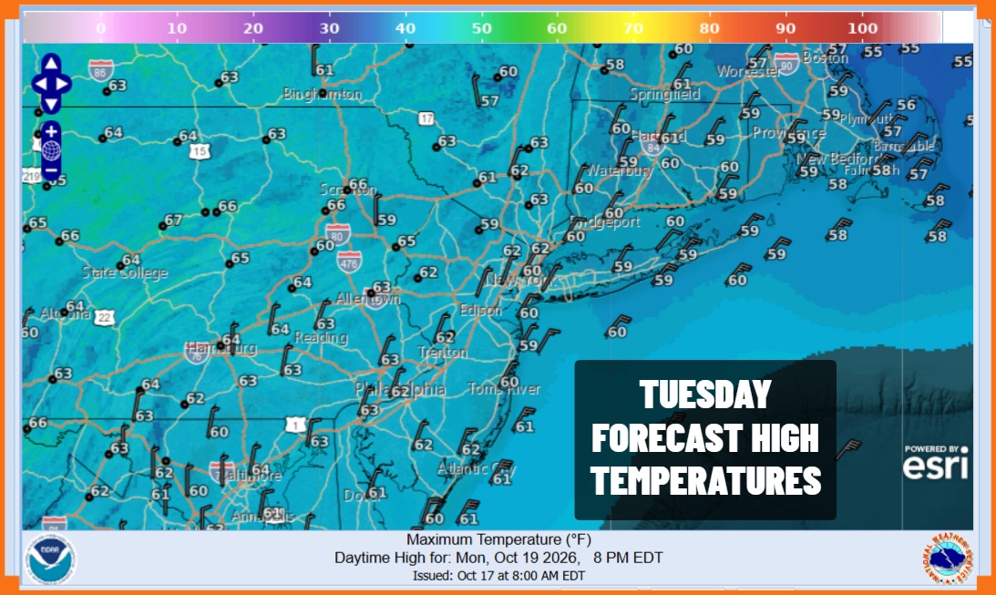
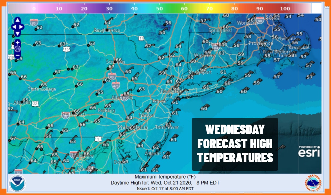
Tonight’s lows will be mainly in the 40s under clear skies with some colder inland spots dropping into the 30s and the odd spot or two that gets down close to freezing. Tuesday will be another mostly sunny day across Eastern Pennsylvania to Southern New England and the same holds for Wednesday. High temperatures both days will reach the low to mid 60s in most places.
High pressure sandwiches us between wetter weather in the Western US and a coastal storm that is sitting well offshore and not moving very much. It will exit to the northeast and east with no impact here. We do have a weak cold front that will drop down from Eastern Canada later Thursday. All this will do is bring another re-enforcement of dry air from the north and keeping weather systems from moving from west to east. Dry weather and sunshine continues Thursday with highs in the 60s. Sunshine is forecast for Friday and the weekend with seasonably cool temperatures.
MANY THANKS TO TROPICAL TIDBITS FOR THE USE OF MAPS
Please note that with regards to any severe weather, tropical storms, or hurricanes, should a storm be threatening, please consult your local National Weather Service office or your local government officials about what action you should be taking to protect life and property.
