

A Week of Unstable Cooler Air Slow Improvement & Occasional Shower Risks

We have a cold front moving offshore and low pressure heading northeastward through Upstate New York and Eastern Canada. We will have some work to do today with lots of leftover clouds around. We will also have some scattered showers around thanks to a developing cold unstable atmosphere. Temperatures today have already seen their highs for the day and we will settle in the low and middle 60s. Radars are still showing some heavier rain and showers in Upstate New York to Northern and Eastern New England. The bulk of the rain we saw overnight is over with.
SATELLITE WITH LIGHTNING STRIKES

WEATHER RADAR

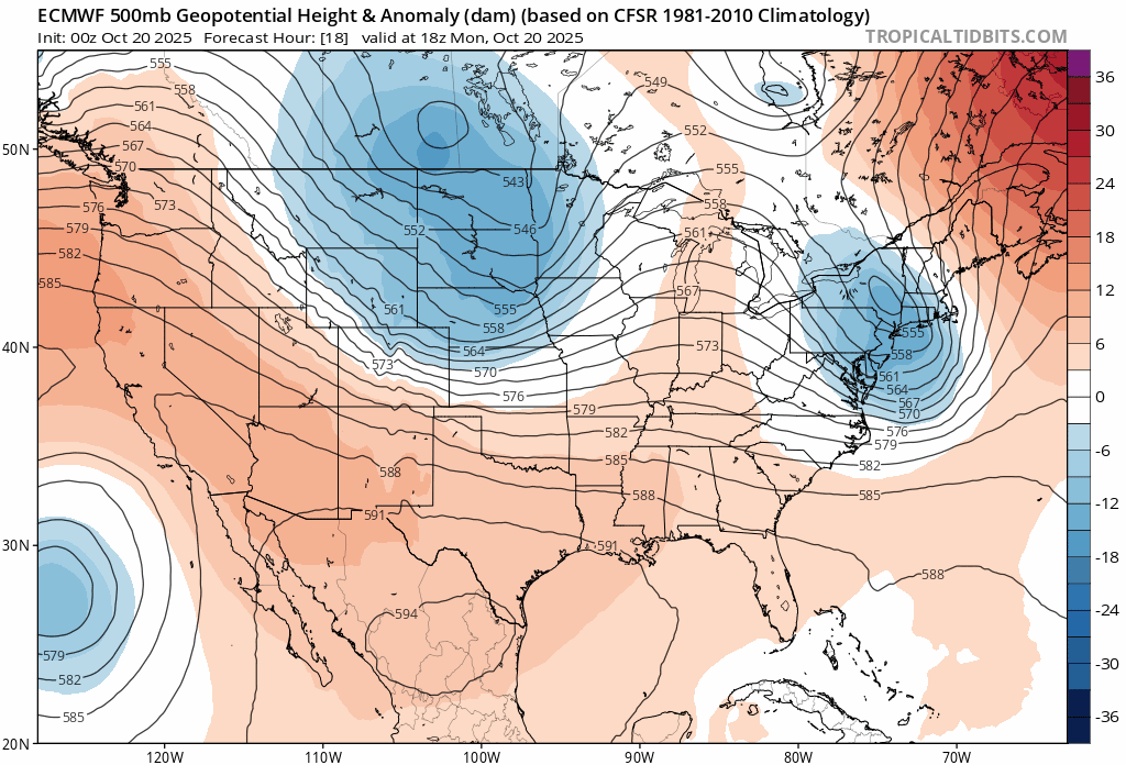
The upper air pattern this week has switched to one where we are being affected by a northwest flow from Canada. Upper trough after upper trough will be moving southeastward and into the Eastern US all week long. The last one in this stretch of 3 will be pulling away over the weekend. This leaves us in a place where the cold unstable air will mean scattered shower risk each day this week.
Along with the unstable air, we will be experiencing a stair step decline in temperatures this week with the coolest air settling in for Thursday and Friday. A pattern like this doesn’t allow for major weather systems to develop in the Eastern US. We have a second weather front that will approach late Tuesday and Tuesday night. While there might be the risk for scattered showers with the front, the rain won’t amount to much.

Tuesday will start with some sun but then clouds will develop. There is the risk for some showers Tuesday evening and overnight into Wednesday morning though not everyone sees them. Highs Tuesday will be in the low to middle 60s. Wednesday behind this front we will have sunshine, some clouds and again some scattered showers in the afternoon and evening, mostly inland. Wednesday highs will be in the upper 50s and lower 60s. Thursday and Friday we will see the same thing with most highs not getting out of the 50s. At this point the upcoming weekend is looking dry.
BE SURE TO DOWNLOAD THE FREE METEOROLOGIST JOE CIOFFI WEATHER APP &
ANGRY BEN’S FREE WEATHER APP “THE ANGRY WEATHERMAN!
MANY THANKS TO TROPICAL TIDBITS FOR THE USE OF MAPS
Please note that with regards to any severe weather, tropical storms, or hurricanes, should a storm be threatening, please consult your local National Weather Service office or your local government officials about what action you should be taking to protect life and property.


