

USE THE COUPON CODE “summer2026” AND GET 10 PERCENT OFF ON ANY PURCHASE

Fast Moving Coastal Storm Brings Rain East of NYC,
Turning Colder Into Midweek & Another Storm Arrives Thanksgiving Day
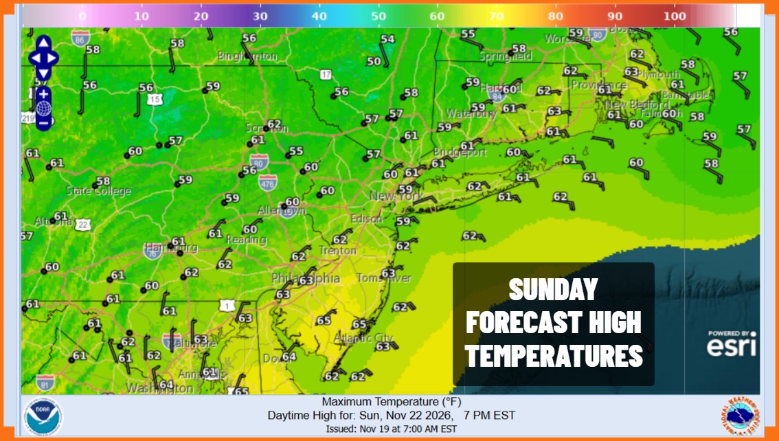
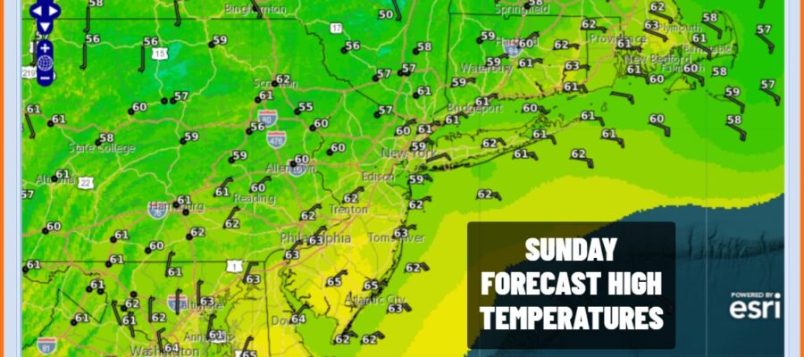
We have our weak storm system east of the North Carolina coast that is taking forever to move up the coast and out to the northeast. It is far enough offshore that areas to the west of New York City and Coastal New Jersey likely see very little if any rain later today into tonight while areas to the east of NYC to Southern and Southeast New England see some rain out of this but it will be rather manageable and not a big deal. Nor do we have wind and coastal flooding issue to deal with. Otherwise it is lots of clouds and temperatures in the 60s today with areas of fog. Whatever rain that is around today will come to and overnight as the low moves away to the northeast.
SATELLITE WITH LIGHTNING STRIKES

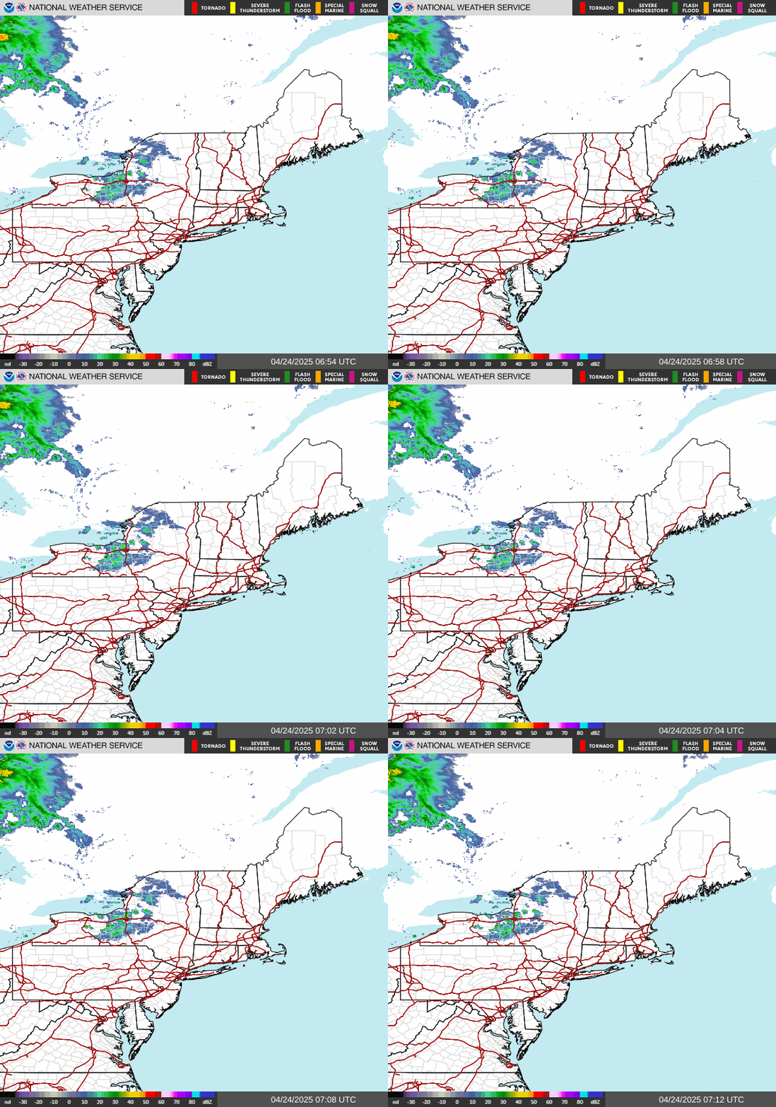
WEATHER RADAR
The breaking down of the strong upper ridge in the east is finally allowing traffic to move from west to east and it opens us up now to Pacific storm systems that will be able to move eastward across the Southern US. First off we have a cold front coming through Monday which will produce very little in the way of clouds and is merely a wind shift line to northwest winds and colder air. That passes during the day Monday.
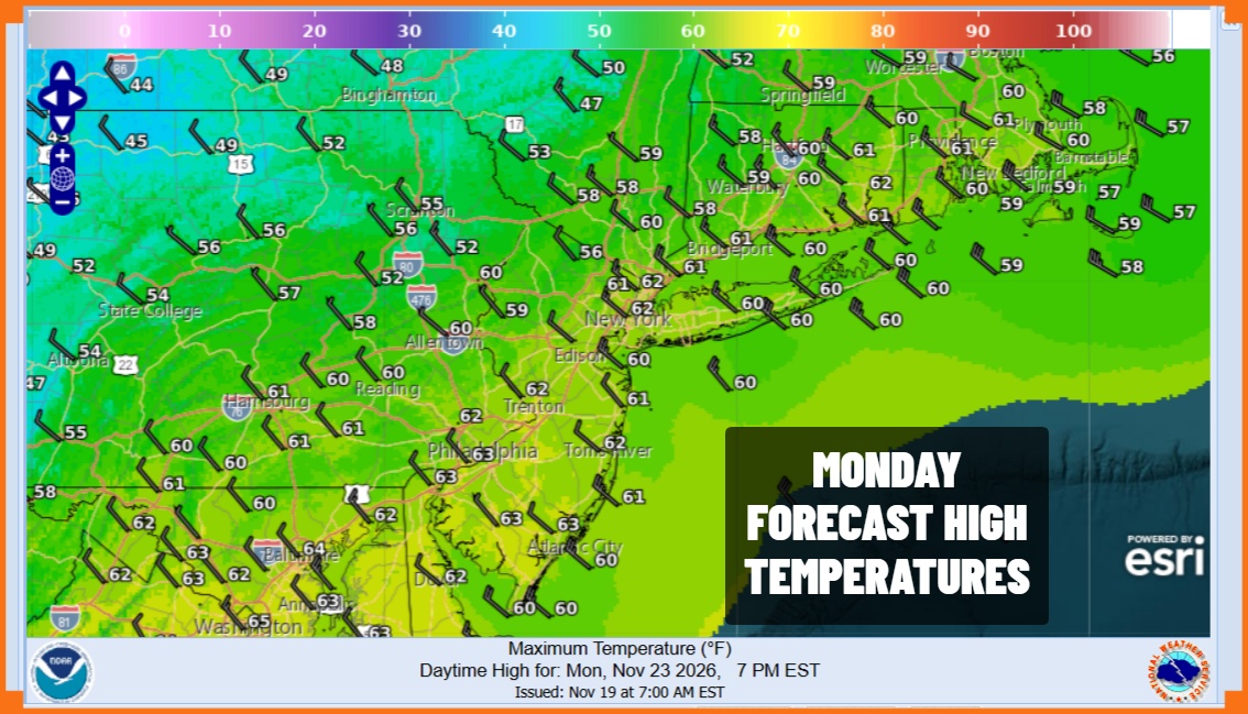
Monday will be a day of sunshine with highs in the 60s and winds will pick up from the northwest. Colder air moves in and you will feel the difference Tuesday. High pressure coming down from Canada will provide us with sunshine but high temperatures will be only in the mid to upper 40s. Tuesday night into Wednesday morning will be very cold with most lows in the 20s to near 30. Wednesday looks to be sunny and cold with highs only in the low to middle 40s.
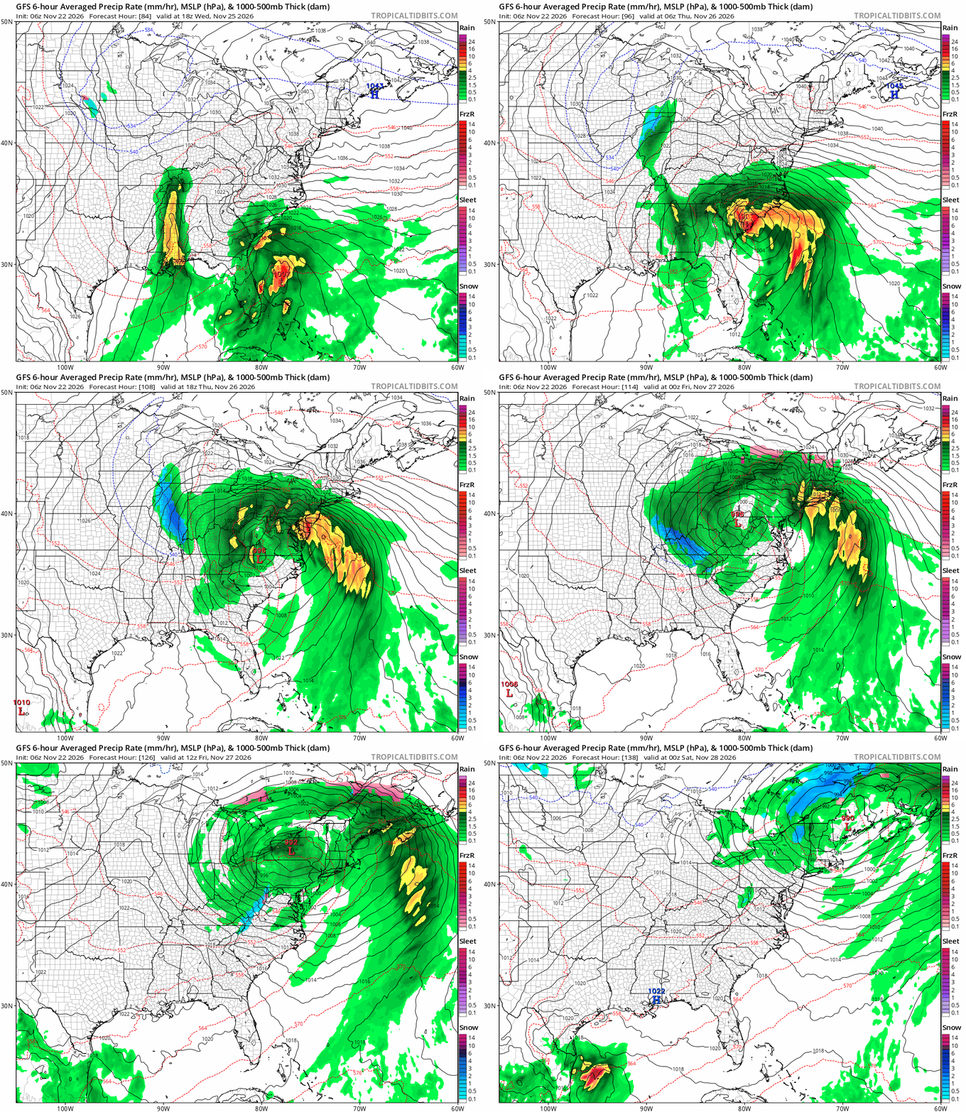
Thursday, Thanksgiving Day is shaping up to be quite a nasty day. The opening of the Pacific parade of storms brings energy to the Southeast US. Low pressure develops east of Florida and the runs northward up the east side of the Appalachians. We also have a bit strong high to the northeast in New England and Atlantic Canada so the table is set ofr a rather strong storm system. All models are in sync here and we are looking at a soaking heavy rain, strong winds, and coastal flooding. We have a full moon this week so tides will be running high as it is. We still have to work out the timing here but it seems that wind and rain will be developing from south to north Thursday morning and then the low moves to upstate New York and New England during Friday when weather conditions will improve somewhat. We will have much more on this storm tonight on the Joe & Joe Weather Show Podcast at 7:35pm on youtube.
MANY THANKS TO TROPICAL TIDBITS FOR THE USE OF MAPS
Please note that with regards to any severe weather, tropical storms, or hurricanes, should a storm be threatening, please consult your local National Weather Service office or your local government officials about what action you should be taking to protect life and property.
