

USE THE COUPON CODE “summer2026” AND GET 10 PERCENT OFF ON ANY PURCHASE

Dry Sunny Conditions Much of the Time Into Midweek Showers Arrive Thursday
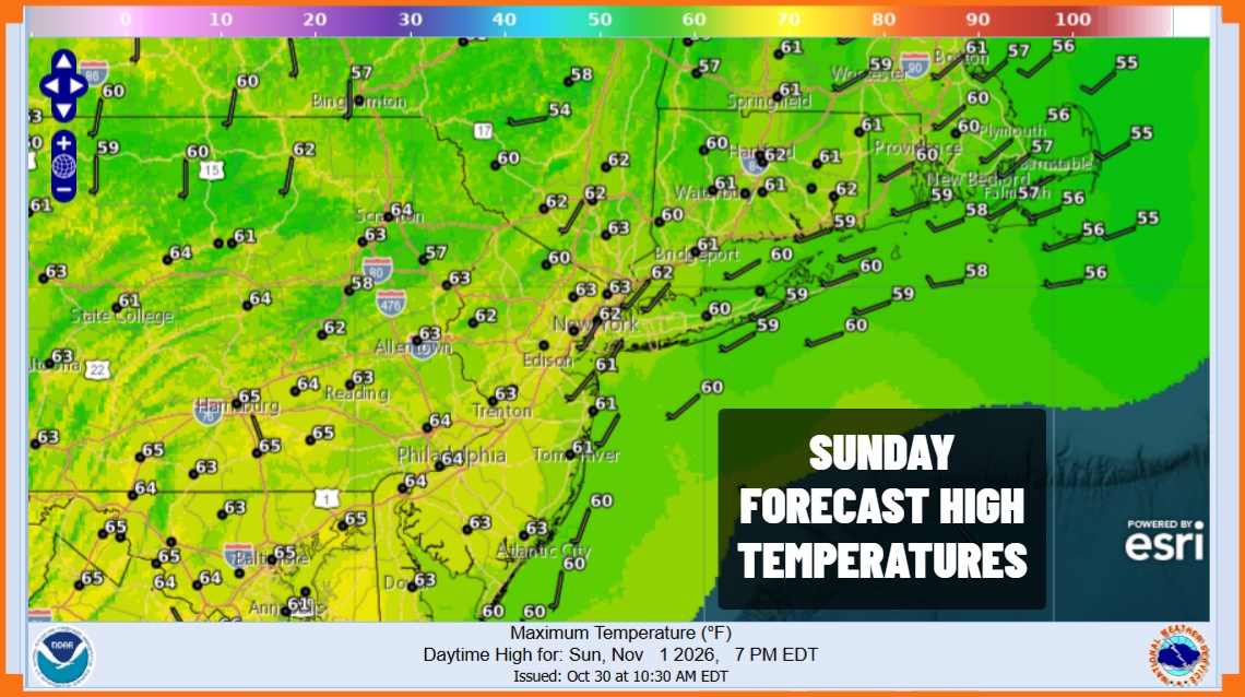
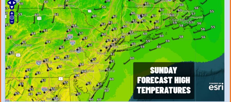
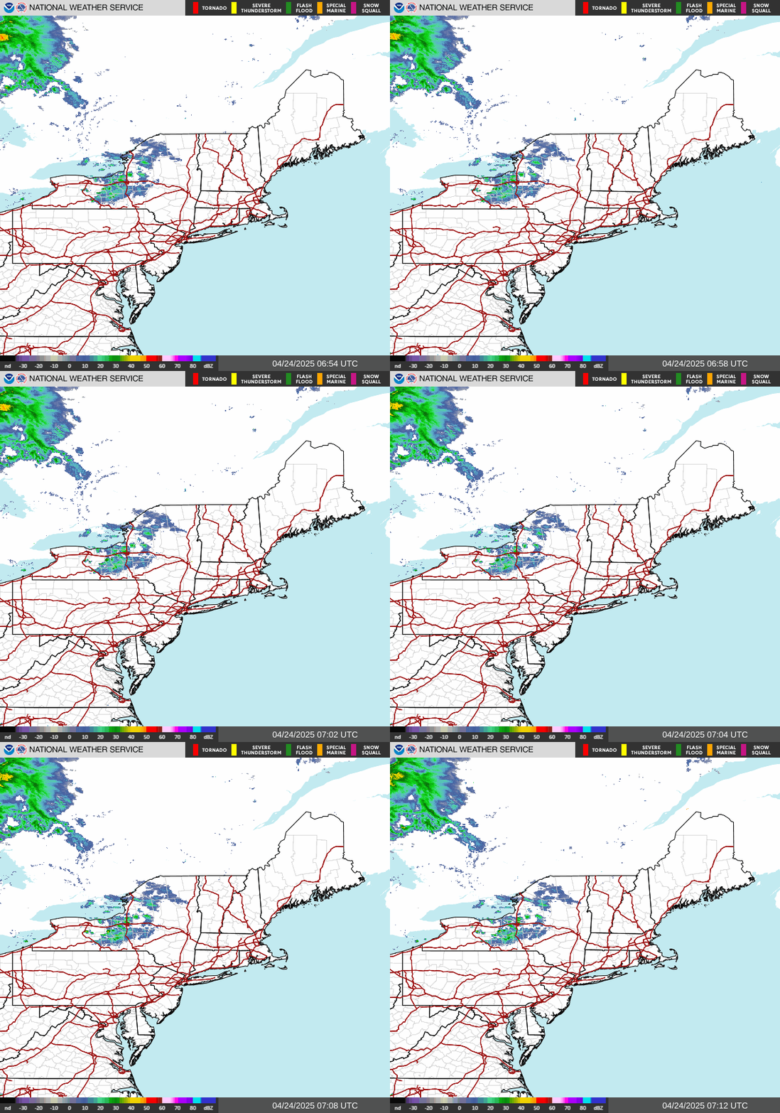
A new month begins and we basically have a continuation of the dry pattern of the last few weeks. This should last into the middle of this week before things change a bit. Satellite loops show dry air over much of the Northeast and Mid Atlantic states. There is more cloud cover to the west and south but this will struggle to move eastward at least for now. Otherwise today it will be partly to mostly sunny with most high temperatures in a range of 60 to 65 degrees. Radars are nice and quiet as usual these days.
SATELLITE WITH LIGHTNING STRIKES

WEATHER RADAR
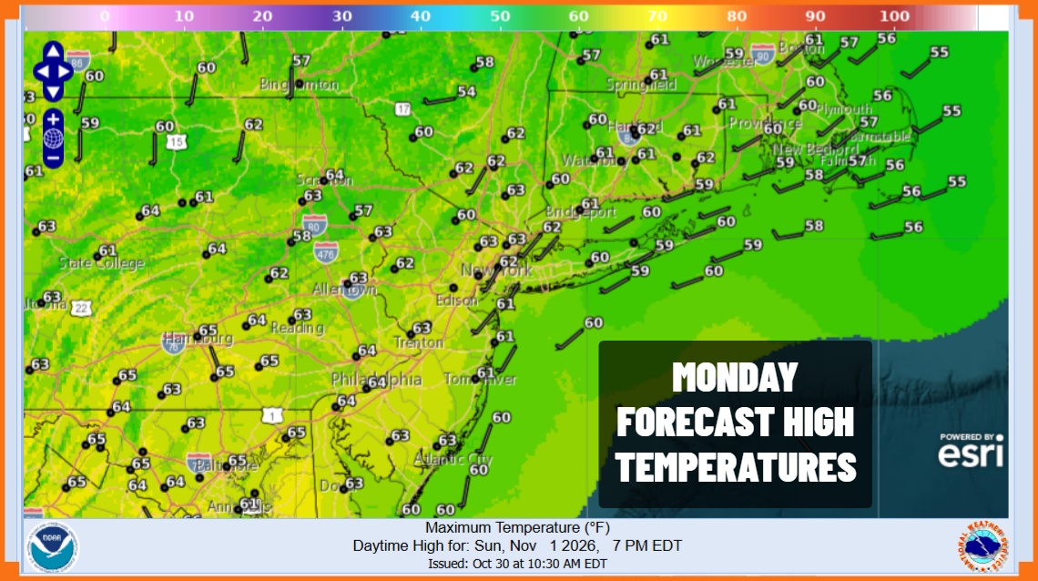
Most lows tonight will be in the low to mid 40s coast and warmer urban centers and 30s inland under mainly clear skies. Monday we will see high pressure settle from New England south to Virginia and then gradually moving offshore, though the high will remain rather strong through mid week. Monday looks to be partly to mostly sunny and temperatures will be a bit higher with highs in the mid to upper 60s.
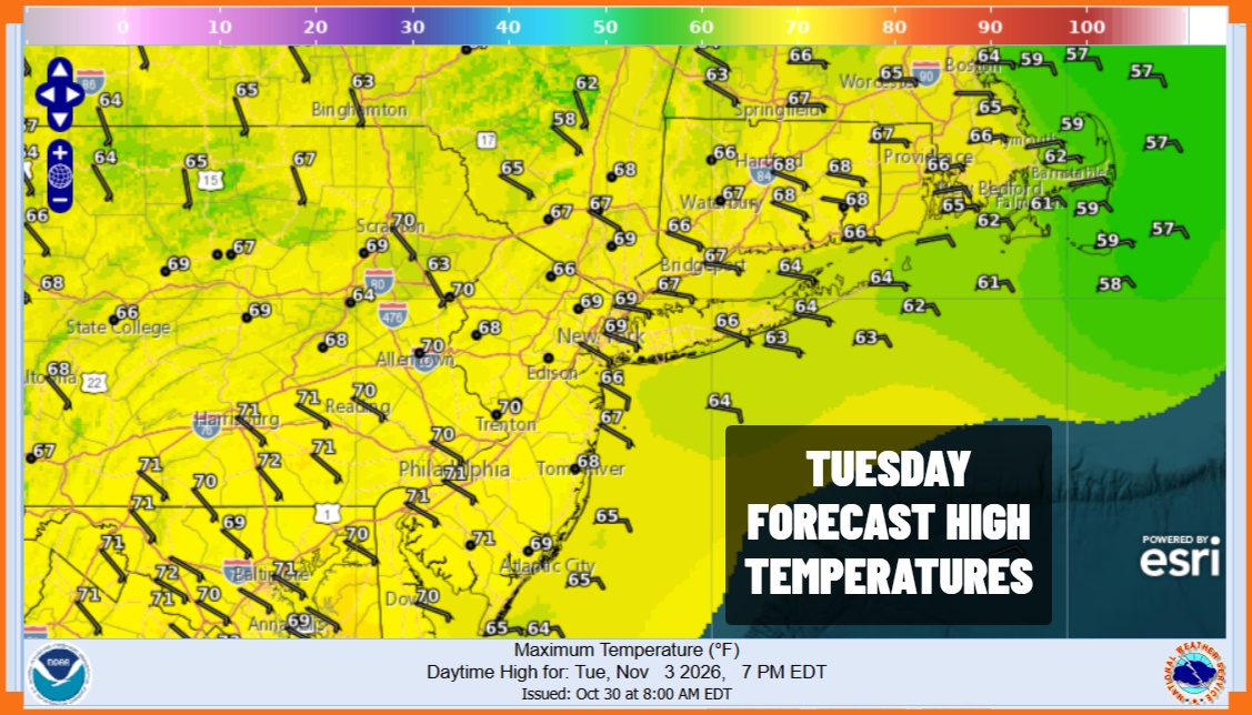
Beginning Monday night with the air mass over head rather stable, we will likely see areas of patchy fog develop. Otherwise skies will at least be partially clear with lows Tuesday morning mostly in the 40s to around 50. Skies Tuesday and Wednesday will be no worse than partly sunny with high temperatures both days in the mid to upper 60s and some warm spots will probably try for 70 degrees or so.
Thursday is the first day we could see showers. Storminess in the west sends low pressure from the Southwest US northeast to the Upper Great Lakes and Northern Plains. The trailing cold front will push eastward slowly and it should be close enough to produce a few showers Thursday. Lack of an Atlantic Ocean feed keeps this from getting into something excessive. On and off showers seem the likely course for both Thursday and Friday until the front finally gets enough of a push to pass offshore. Weather conditions will start to improve somewhat over next weekend.
MANY THANKS TO TROPICAL TIDBITS FOR THE USE OF MAPS
Please note that with regards to any severe weather, tropical storms, or hurricanes, should a storm be threatening, please consult your local National Weather Service office or your local government officials about what action you should be taking to protect life and property.
