

USE THE COUPON CODE “summer2026” AND GET 10 PERCENT OFF ON ANY PURCHASE

Very Chilly October Weekend Freezes Possible Inland
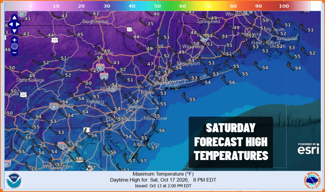
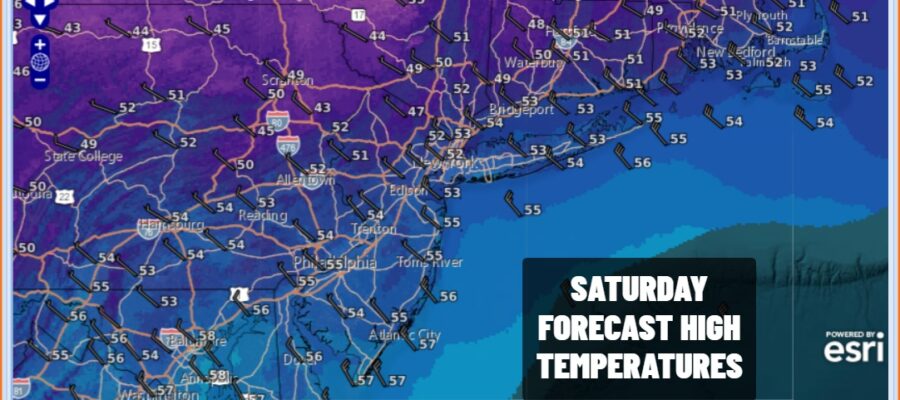
Last night’s cold front has pushed offshore but we do have leftover clouds and some areas near the coast have some leftover rain around this morning. This should all shift eastward and offshore and this afternoon we will see decreasing clouds and increasing sunshine from west to east. It is colder and this new cold air mass will be the coldest air of the Autumn season so far. Temperatures this afternoon will hover in the low to middle 50s and there will be a gusty northwest wind making it feel like Autumn has really arrived.
SATELLITE WITH LIGHTNING STRIKES

WEATHER RADAR

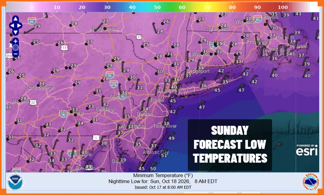
By mid October standards, tonight is going to be very cold. Skies will be mostly clear and there will still be enough of a wind to prevent frost from developing. However we will see temperatures across most inland areas near or below freezing. Coastal and warmer urban areas will be a little warmer with lows by morning in the mid to upper 30s. For many inland areas this is the first widespread freeze of the season.
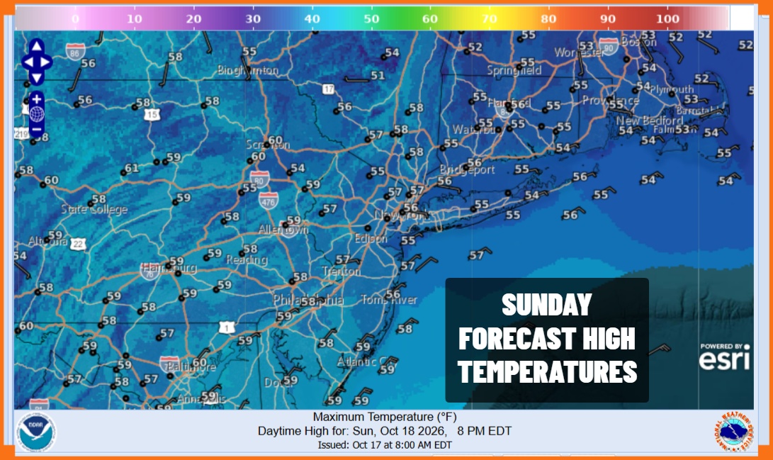
After a very cold start we will see temperatures moderate somewhat during Sunday. We expect to see a good deal of sunshine. Radars are going to be nice and quiet. High temperatures Sunday will be mostly in the middle to a few upper 50s. Winds will still be from the north though wind speeds will be somewhat lower.
The week ahead looks to be rain free all week long. A coastal storm will form east of the Mid Atlantic coast and sit offshore all week, meandering around rather than exiting. High pressure to the north will keep this low blocked from exiting. Also there is no mechanism in the jet stream pattern to lift this storm northward like the noreaster did a few weeks ago. Other than occasional rounds of high clouds coming in from the southeast, the week should be fine with at least some sunshine each day Monday through Thursday with daytime highs just in the 60s. Monday morning lows will be in the 30s inland and low 40s coast but most of the week nighttime lows will be in the chilly 40s. We will monitor the coastal storm for any changes in the outlook.
MANY THANKS TO TROPICAL TIDBITS FOR THE USE OF MAPS
Please note that with regards to any severe weather, tropical storms, or hurricanes, should a storm be threatening, please consult your local National Weather Service office or your local government officials about what action you should be taking to protect life and property.
