

USE THE COUPON CODE “summer2026” AND GET 10 PERCENT OFF ON ANY PURCHASE

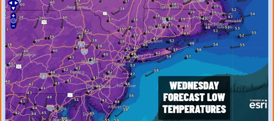
A Cool Tuesday & The Coldest Night of Autumn So Far Into Wednesday Morning
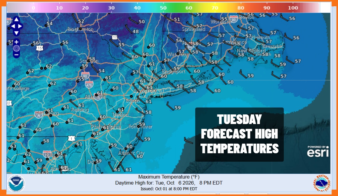
We saw temperatures bottom out this morning in the 40s along the immediate coast and urban areas but lots of 30s have shown up inland. We are going to see sunshine today but temperatures are going to be hard pressed to get much above the upper 50s and lower 60s. Then tonight we have clear skies and light winds along with the core of the cool air mass overhead. We expect to see many inland lows in the 30s and there will be some patchy areas of fronts inland. Coastal and urban locations will hit bottom in the low to middle 40s.
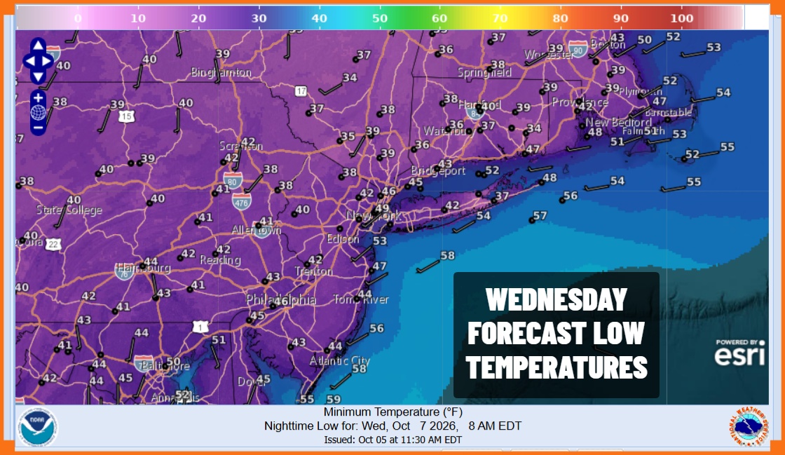
Wednesday we will see some temperature recovery with sunshine taking highs to the middle and upper 60s before days end. Then a weak weather front approaches Thursday with little weather associated with it so it should be no worse than partly sunny. Thursday highs will be mostly in a range of 70 to 75 degrees and we see a dry weather pattern shaping up for Friday with highs reaching mostly into the lower 70s. Satellite and radar loops are not showing much in the way of clouds and clearly there is no precipitation anywhere close.
SATELLITE WITH LIGHTNING STRIKES

WEATHER RADAR

We can begin to turn attention to the Columbus Day holiday weekend and right now it looks as if Saturday and Sunday should be dry. However we are watching thunderstorms organizing in the Southwest Gulf of America and we expect to see low pressure develop there. It also seems that conditions are somewhat favorable for a tropical depression or a tropical storm to form out of this. It looks to head north toward the Central Gulf coast late Friday into Saturday and then head north and northeast from there. It seems that we could see rain from this system Sunday night into Monday Columbus day but in terms of specifics it is still way to early. This will be the focus of attention as we head through the rest of this very dry week.
MANY THANKS TO TROPICAL TIDBITS FOR THE USE OF MAPS
Please note that with regards to any severe weather, tropical storms, or hurricanes, should a storm be threatening, please consult your local National Weather Service office or your local government officials about what action you should be taking to protect life and property.
