

USE THE COUPON CODE “summer2026” AND GET 10 PERCENT OFF ON ANY PURCHASE

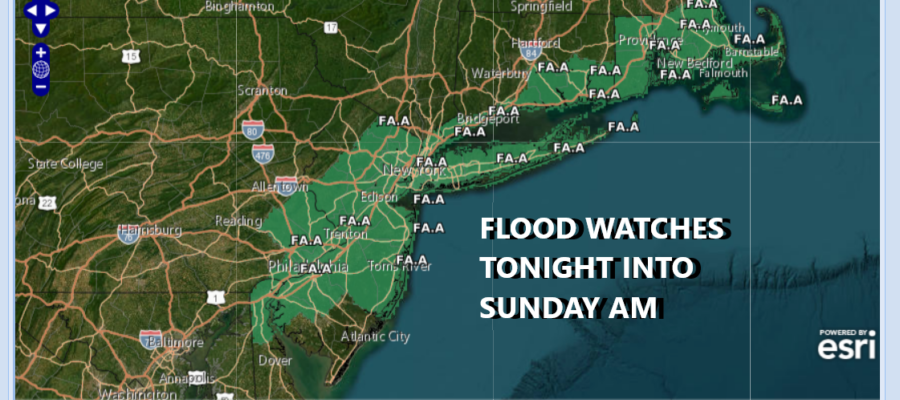
Flood Watches Tonight Into Sunday Morning Southeast Pennsylvania New Jersey to Southern Connecticut & Long Island
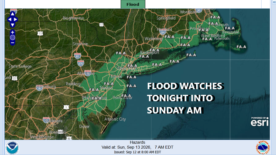
Today is definitely the better of the two weekend days. We have flood watches that are posted for tonight into Sunday morning. Tropical moisture is on its way back northward and an upper air disturbance running ahead of a cold front will bring rain overnight into Sunday morning. You can expect rainfall amounts running in the range of 3/4 inch to an inch but given the tropical nature of the air mass and the risk of some convection in the mix, some areas could see double those amounts.

Satellite loops show high clouds beginning to arrive from the southwest and they will gradually increase as the day wears on. Look for sunshine to slowly fade away. Southeast winds will start to bring up dew points this afternoon so humidity levels will be rising. High temperatures today will be mostly in the upper 70s to around the 80 degree mark. No rain is forecast through the early evening hours.
SATELLITE WITH LIGHTNING STRIKES

WEATHER RADAR

Tonight into Sunday morning we will see rain and some of the rain will be heavy at times and remember there will be some variability in rainfall amounts. Timing of departure of the rain is a little tricky. The heaviest rain will be overnight into Sunday morning and we should see rain begin to make its way eastward during the morning hours and hopefully some improvement during the afternoon.

While it is raining temperatures will be in the upper 60s and lower 70s but if sky conditions improve, we could see highs reach 80 degrees or so late in the day. It will remain humid until a cold front passes Sunday night and with that, there could be another shower or two in the early morning hours Monday. Much drier air arrives however for Monday along with sunshine, low humidity and high temperatures in the 70s.
MANY THANKS TO TROPICAL TIDBITS FOR THE USE OF MAPS
Please note that with regards to any severe weather, tropical storms, or hurricanes, should a storm be threatening, please consult your local National Weather Service office or your local government officials about what action you should be taking to protect life and property.
