

USE THE COUPON CODE “summer2026” AND GET 10 PERCENT OFF ON ANY PURCHASE

Stubborn Clouds Humidity & Shower Risks Better Weather Tuesday
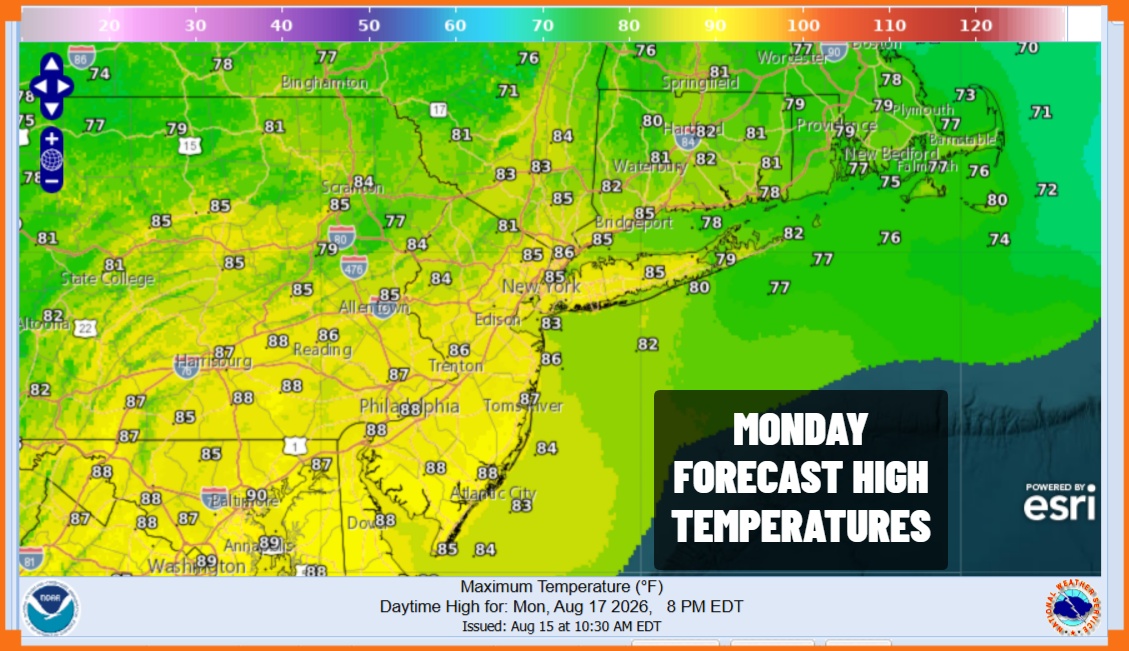
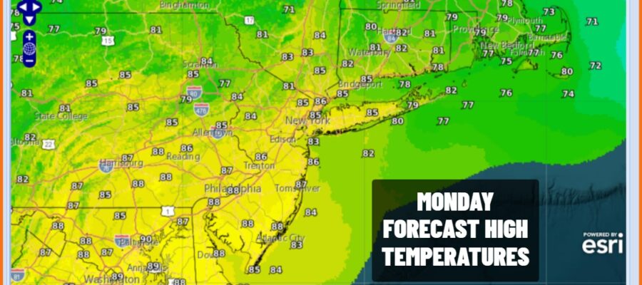
We did see some rain overnight with some places getting more than others. A warm front is coming up from the southwest and that will pass through followed by a cold front approaching later today. There could be another round of scattered showers or possibly a thunderstorm later this afternoon into this evening but this doesn’t not appear to be anything that we can’t handle. Otherwise it is going to be a warm humid August day with clouds around, limited sun, and the risk for downpours. Highs will reach into the 80s in most places. Humidity levels remain on the high side.
SATELLITE WITH LIGHTNING STRIKES

WEATHER RADAR

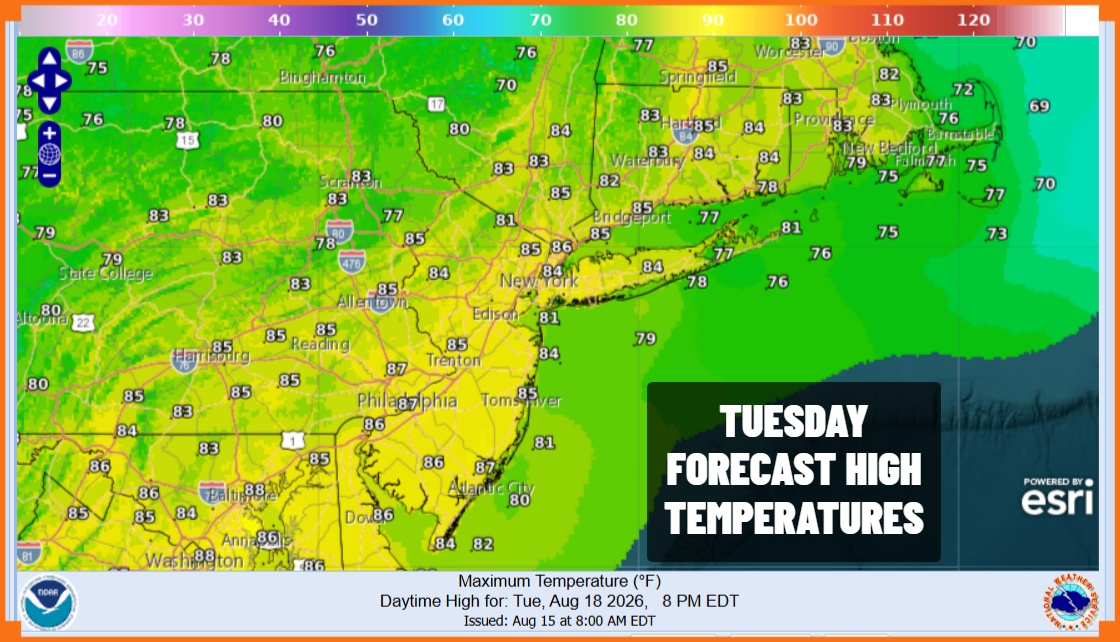
This front will pass offshore and to the east tonight so we should see sky conditions improve with most lows in the 60s to around 70. Tuesday looks to be a better day with sunshine and some clouds, warm and humid conditions, but we do not expect to see any downpours. Highs Tuesday will be mostly in the 80s.
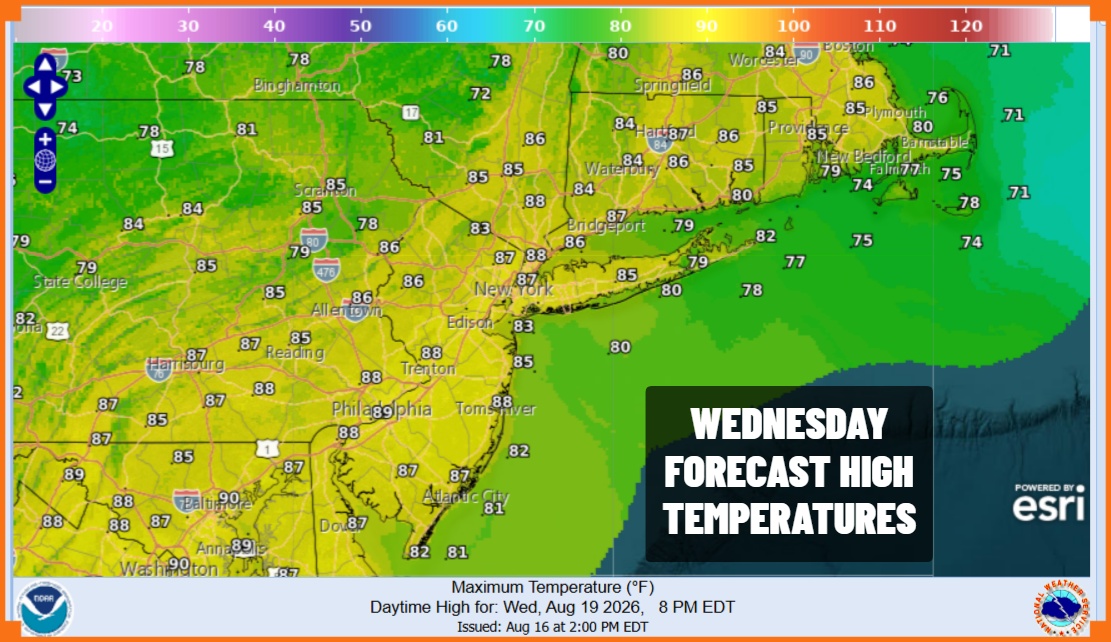
Moving along to Wednesday it is more of the same. There is a cold front that will be approaching Wednesday but it appears that any downpours or thunderstorms with this front will be well inland and not an issue. Look for very warm and humid conditions with some sunshine Wednesday and highs again will be mostly in the 80s though it probably will be a few degrees cooler at area beaches.
The front is expected to slow down and stall overhead Thursday so there might be some downpours and thunderstorms that develop along the frontal boundary. We expect the front to move away leaving us with a mostly dry though warm Friday. Over the weekend we expect to see a broad trough drop into the Eastern US opening the door for downpour and thunderstorm risks Saturday and a higher chance for Sunday.
MANY THANKS TO TROPICAL TIDBITS FOR THE USE OF MAPS
Please note that with regards to any severe weather, tropical storms, or hurricanes, should a storm be threatening, please consult your local National Weather Service office or your local government officials about what action you should be taking to protect life and property.