

USE THE COUPON CODE “SPRING2026” AND GET 10 PERCENT OFF ON ANY PURCHASE

Increasing Humidity, Chances for Storms, Severe Weather
& Heavy Rain Week Ahead
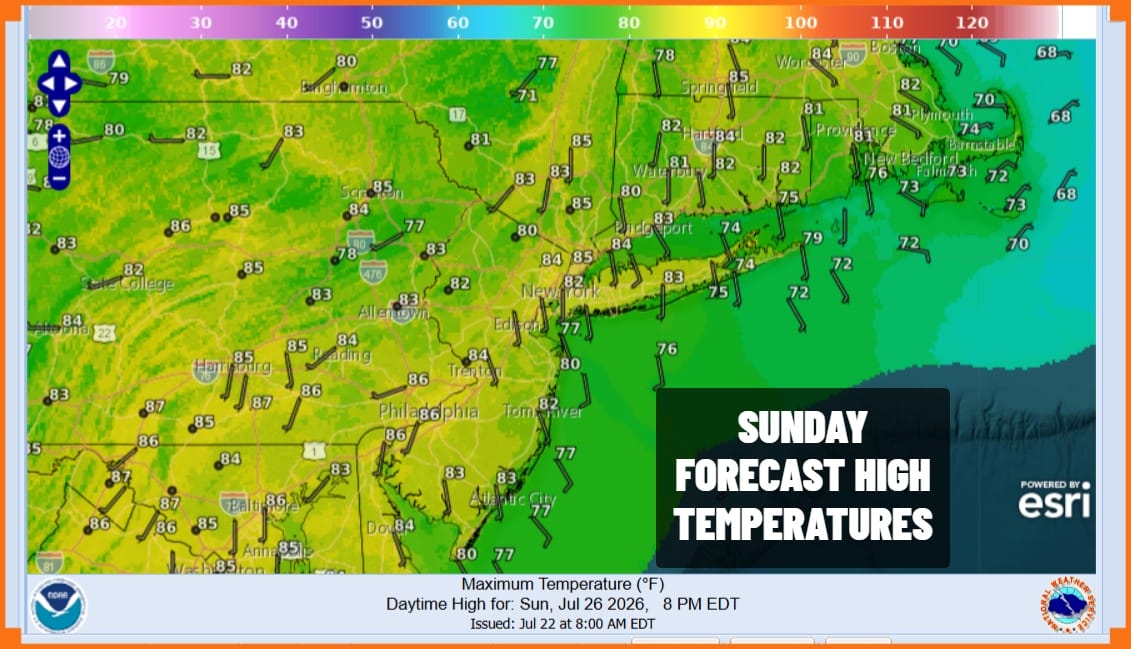
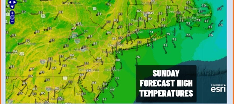
At least we have one last day of sunshine and reasonable humidity before things start to downhill for the week ahead. Today is the 4th day where humidity levels will be subdued though to be fair, the dew points are going to be rising a bit today. Still we are not going to be at levels anyone would consider unreasonable. Skies today should be no worse than partly sunny. Temperatures this afternoon will be in the lower 80s for the 4th day in a row. Even though radars are picking up on some very light sprinkles in parts of Pennsylvania, we expect those to basically die out.
SATELLITE WITH LIGHTNING STRIKES

WEATHER RADAR

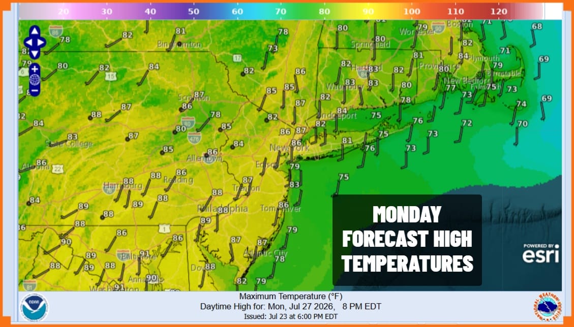
One of the nicer things about this particular streak of weather is that we have been enjoying rather cool and comfortable night. Tonight won’t be as cool as past nights with most lows in the 60s, & mid to upper 60s warmer urban areas and the coast. Monday will probably start of partly sunny with highs reaching the low and middle 80s. Humidity levels will be noticeably higher.
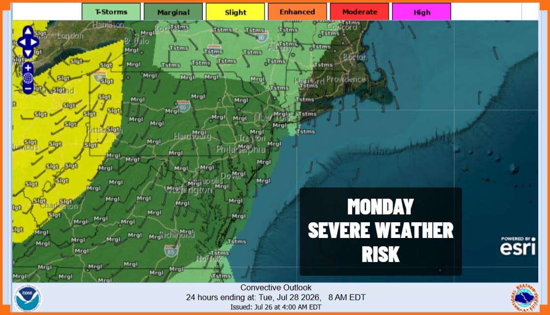
We are going to introduce the chance for showers and thunderstorms developing Monday afternoon. The Storm Prediction Center is indicating a marginal risk for isolated severe thunderstorms across much of Southern and Southeastern New York, Pennsylvania, & New Jersey. The risk zone cuts off in Western Long Island and Western Connecticut. It is not a guarantee that everyone sees storms Monday.
Moving on to Tuesday we see higher chances for showers and thunderstorms developing a and a higher chance for severe storms per the Storm Prediction Center. In fact thunderstorms and downpours will be come more numerous during the day Tuesday and there is also the risk we could see some localized flash flooding in some of the heavier downpours late Tuesday afternoon and Tuesday evening.
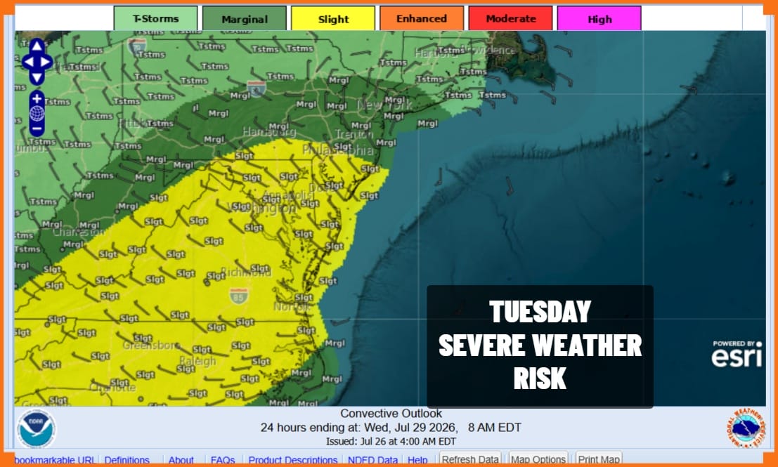
Tuesday’s temperatures will be mostly in the upper 70s to some lower 80s. An approaching cold front and upper trough will stall along the East Coast Tuesday night and Wednesday bringing the potential for more downpours and thunderstorms. This system may take a couple of days to move out of the way so the risk for downpours may continue into Thursday though over time, the downpours and showers should become less widespread. Overall we have the potential for several inches of rain over the next 5 days.
BE SURE TO DOWNLOAD THE FREE METEOROLOGIST JOE CIOFFI WEATHER APP &
ANGRY BEN’S FREE WEATHER APP “THE ANGRY WEATHERMAN!
MANY THANKS TO TROPICAL TIDBITS FOR THE USE OF MAPS
Please note that with regards to any severe weather, tropical storms, or hurricanes, should a storm be threatening, please consult your local National Weather Service office or your local government officials about what action you should be taking to protect life and property.
