

USE THE COUPON CODE “SPRING2026” AND GET 10 PERCENT OFF ON ANY PURCHASE

Hot But Less Extreme Humidity Lowers
Smokey Conditions From Wildfires Continues
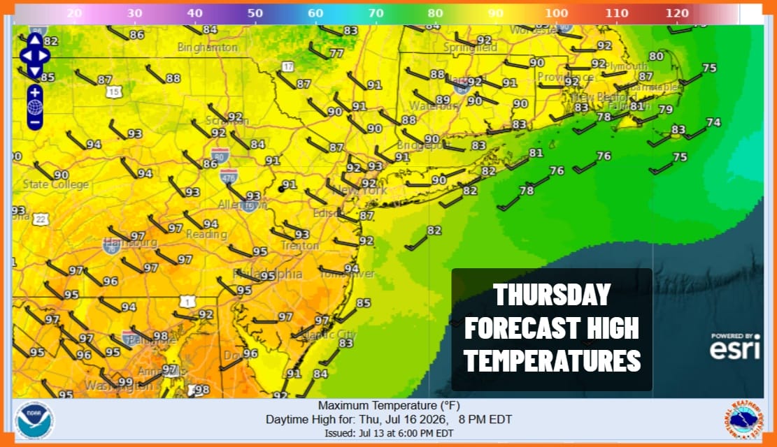
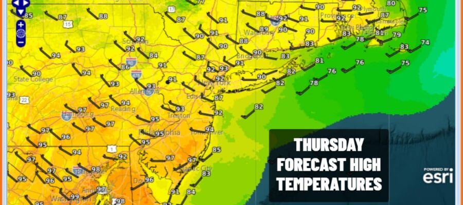
We are going to see a slow easing of temperatures and humidity the next few days. However we also going to continue to be plagued by wildfire smoke moving southeast from Central Canada wildfires. The northwest flow in the upper atmosphere is continuing to bring that smoke down to the Northeast and Northern Mid Atlantic states. This will make for hazy skies with some sunshine. Highs Thursday will be a little lower than to day, low and middle 90s. Humidity levels however will ease as dew points drop during the afternoon. We are going to throw in the chance for an isolated shower or thunderstorm but the odds for one are very low and most of you won’t see one.
SATELLITE WITH LIGHTNING STRIKES

WEATHER RADAR

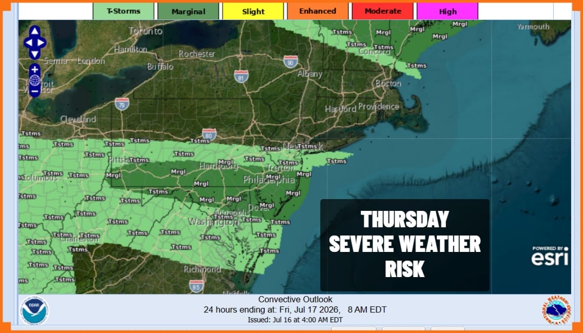
Much like yesterday, along the boundary line of the dry air there is the risk for a narrow band of thunderstorms to develop. The Storm Prediction Center is indicating a marginal risk for isolated severe thunderstorms this afternoon from Central New Jersey and Southern Pennsylvania southward to Maryland and Delaware.
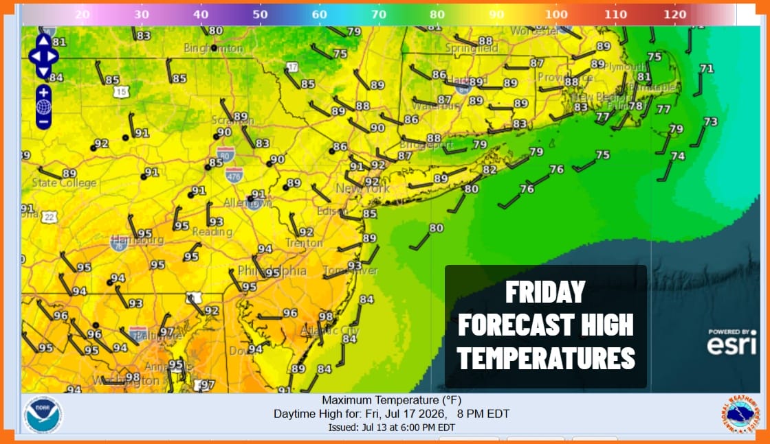
Friday morning lows will be in the mid to upper 60s inland and low 70s coast and warmer urban locations. Look for smokey conditions sky wise again Friday. We will have some sunshine. Dew points will be in the 50s making for a comfortable day though temperatures will be topping out in the upper 80s and lower 90s.
Weather conditions are going to deteriorate Saturday as humidity rises. We have an approaching cold front from the west and tropical moisture will be moving up the East Coast. Shower rains, heavy downpours and thunderstorms will develop and become more numerous Saturday afternoon into Saturday night. Though it won’t be raining every minute, we will see waves of rain and there is the risk for some severe thunderstorm activity and local flash flooding. Weather conditions will improve Sunday with some sunshine returning but another front is poised to arrive next Tuesday with more showers and thunderstorms. As for the heat, it seems we are done with it for now and a cooler7 wetter than average temperature pattern will take hold next week and beyond, possibly through the end of the month..
DOWNLOAD THE UPSIDE APP & EARN CASH AT GAS STATIONS, RESTAURANTS, & SUPERMARKETS

BE SURE TO DOWNLOAD THE FREE METEOROLOGIST JOE CIOFFI WEATHER APP &
ANGRY BEN’S FREE WEATHER APP “THE ANGRY WEATHERMAN!
MANY THANKS TO TROPICAL TIDBITS FOR THE USE OF MAPS
Please note that with regards to any severe weather, tropical storms, or hurricanes, should a storm be threatening, please consult your local National Weather Service office or your local government officials about what action you should be taking to protect life and property.
