

USE THE COUPON CODE “SPRING2026” AND GET 10 PERCENT OFF ON ANY PURCHASE

Mostly Dry Conditions Continue
Not Much Rain In The Forecast Through Sunday
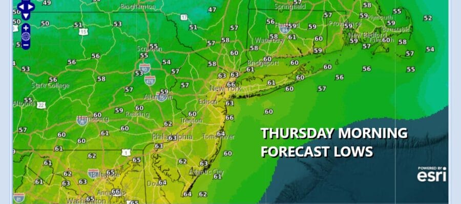
We do have cloud cover around and that has put a lid on temperatures somewhat this afternoon unless you are north and northeast of New York City where there has been more in the way of sunshine. We also have some showers over Southern New Jersey and points south and this is on the old frontal boundary that is moving eastward. We do not expect these showers or thunderstorms to move further north but rather they will continue to slide to the east. Drier air will come in late this afternoon in areas south of New York City. Most highs will be in the low 80s north and mid to upper 70s south. Skies will clear tonight and most lows Thursday morning will be in the mid to upper 50s inland and lower 60s urban areas and the coast.
SATELLITE WITH LIGHTNING STRIKES

WEATHER RADAR

The overall pattern is going from a west to southwest flow of warmer air to a northwest flow from Canada bringing down cooler air. This will be the primary pattern that will take hold across the Northeast and Northern Mid Atlantic states for at least the next week to 10 days. As a result it will be dry much of the time and we do not expect any rain other than some odd scattered showers that might pop up from time to time.
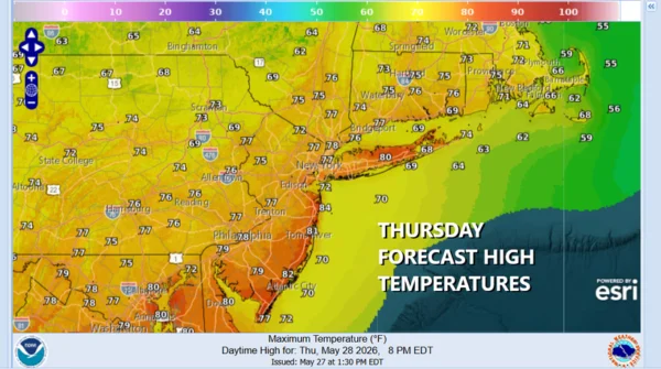
Most areas will see more in the way of sunshine compared to today and that will allow temperatures in some instances to be higher than today while other will be a bit lower. Most highs will be in the middle 70s on average with some upper 70s and lower 80s South Jersey and points south. Some scattered showers are possible in the afternoon in Northern New York and New England but we are going to leave the chance for a stray shower out of the forecast for now.
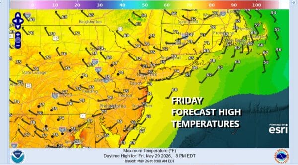
The cooler flow from Canada will keep high temperatures in check Friday with no worse than partly sunny skies. Highs will generally be in the middle 70s in most places. An upper trough and weather front might bring a shower or two late Friday night/early Saturday morning. The weekend is looking no worse than partly sunny for both Saturday and Sunday. High temperatures both days will be in the low to mid 70s. Most nighttime lows will be in the 50s to near 60s except for Sunday morning when we will see 40s in many inland locations and 50s everywhere else.
