Severe Weather Risk Late Today Into This Evening Onshore Winds
Hurricane Erin To Pass Offshore Later This Week
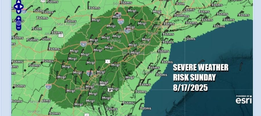
We are finishing off the weekend with an approaching cold front that will probably set off a few scattered thunderstorms during the late afternoon and evening hours. You can see the frontal boundary rather well on satellite loops, swinging east across Upstate New York and Western Pennsylvania. The Storm Prediction Center is indicating a marginal risk for isolated severe thunderstorms as the front passes.
Ahead of the weather front we will have sunshine hot and humid conditions with high temperatures reaching the 90s in most inland locations. Temperatures at the coast will be about 10 degrees lower. The risk time for thunderstorms is mainly from 3pm to 9pm from west to east. We are not anticipating widespread severe weather from this front so we do not think we will see watches go up from the Storm Prediction Center. However there will be a cell or two in the mix that could be strong or severe.
SATELLITE WITH LIGHTNING STRIKES
WEATHER RADAR
Once the front passes we will see winds shift to the northeast and high pressure will be building southward from Eastern Canada and New England for the first half of next week. The boundary will stall somewhere across the Mid Atlantic states. This is going to at the very least, prevent Hurricane Erin from moving up the entire Eastern Seaboard. We still believe the Erin will recurve near the latitude of North Carolina.
Over the last several days we have watched weather models under forecast the western extent of the track and we have continued to see the National Hurricane Center forecasts for Erin shift to the west. Overnight models like the European and especially the ICON have continued this trend. This increases the risk that portions of Eastern North Carolina might get a grazing from Erin as the center passes offshore. Notice that the hurricane is growing in size as it moves northward and I would not be at all surprised to see gusty winds spread up the coast to Southern New England later this week. However even if that happens the hurricane will make a right turn along 35 degrees north latitude and head out to sea. Coastal flooding and beach erosion will very much be an issue up and down the entire Eastern Seaboard this week. We will continue to monitor the situation very carefully.
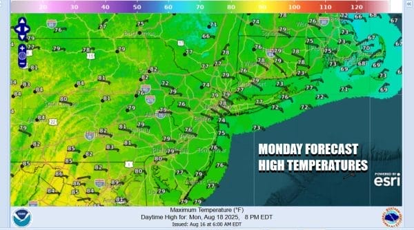
In the meantime the stalled front to the south and an onshore flow will be different this time around as we will have moisture coming in from off the Atlantic. That is going to keep things rather cloudy beginning Monday and lasting probably most of this week until Hurricane Erin gets out of the way. There is the risk for some passing light showers or some light rain or drizzle. Monday highs will be much cooler than today with highs in the 70s. There might be some breaks of sun in areas inland.
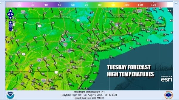
Tuesday bring more low clouds and some spotty showers or some drizzle. Highs Tuesday will be mostly in the low and middle 70s This will roll on into Wednesday and at this point Hurricane Erin will be somewhere off the Southeast US coast moving northward. We will likely sit in these onshore flow conditions into Thursday. Once Erin gets out of the way to the northeast, normal traffic patterns will resume in the atmosphere and the onshore low disappears at the end of the week and going into next weekend.
BE SURE TO DOWNLOAD THE FREE METEOROLOGIST JOE CIOFFI WEATHER APP \&
ANGRY BEN’S FREE WEATHER APP “THE ANGRY WEATHERMAN!
MANY THANKS TO TROPICAL TIDBITS FOR THE USE OF MAPS
Please note that with regards to any severe weather, tropical storms, or hurricanes, should a storm be threatening, please consult your local National Weather Service office or your local government officials about what action you should be taking to protect life and property.


