Labor Day Weekend Looking Picture Perfect Small Shower Risk Today
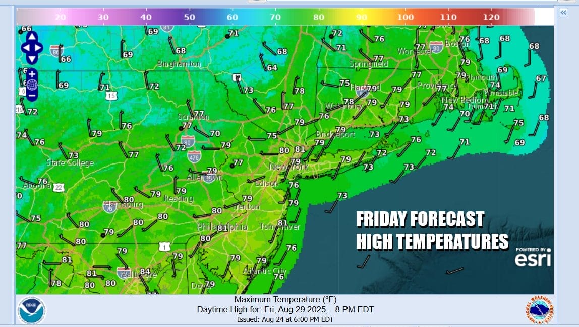
We are at the doorstep of the Labor Day holiday weekend and overall we have only a minor issue today as a cold front passes along with an upper trough. The front is moisture starved and showers are more numerous in Northern New England than they are on the southern end of the front. We will allow for the possibility of an isolated shower today. Otherwise we should see clouds and some sunshine. Temperatures today will top off in the mid to upper 70s. Then a re-enforcement of the dry cool weather pattern comes in and skies will be clear tonight. It will be rather cool with Saturday morning lows in the upper 40s inland and low to mid 50s coast and warmer urban locations.
SATELLITE WITH LIGHTNING STRIKES
WEATHER RADAR
The three day weekend is rather straight forward. Skies will be partly to mostly sunny each of the three weekend days (Saturday Sunday Monday). High pressure is going to build in nicely. Saturday will be the coolest of the 3 days as most highs will be just in the low to middle 70s. Then we drop again Saturday night into the 40s inland and mid to upper 50s just about everywhere else.
Sunday and Monday will be both be two very nice days with partly to mostly sunny skies. Highs both days will reach the mid 70s on average. Some warm spots will be a little higher and some cool spots a little lower. It isn’t exactly perfect beach weather as it will be on the cool side of normal but beach temperatures will be in the 70s and ocean water temperatures are at the seasonal peaks in the mid to upper 70s on average so at least that is tolerable. No rain is forecast for either Sunday or Monday. Nights will be clear and cool with most lows in the 40s well inland and mostly 50s to near 60 degrees everywhere else.
This is very long stretch of below average temperatures and no rainfall so when does that change. It will remain dry Tuesday and Wednesday as this large high pressure are takes its sweet time moving offshore. We may finally see a weather front approach Thursday that will have a wave developing on it and that could bring in some widespread shower and thunderstorm activity late Thursday into early Friday of next week.
BE SURE TO DOWNLOAD THE FREE METEOROLOGIST JOE CIOFFI WEATHER APP \&
ANGRY BEN’S FREE WEATHER APP “THE ANGRY WEATHERMAN!
MANY THANKS TO TROPICAL TIDBITS FOR THE USE OF MAPS
Please note that with regards to any severe weather, tropical storms, or hurricanes, should a storm be threatening, please consult your local National Weather Service office or your local government officials about what action you should be taking to protect life and property.
You can support this podcast by shopping on Amazon directly through this link. https://amzn.to/3OpLiB6 Amazon is an affiliate of the Joe & Joe Weather Show Podcast.
You can support this channel by subscribing to Patreon for full winter weather coverage. https://patreon.com/meteorologistjoecioffi