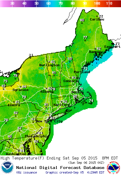
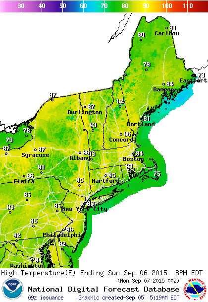
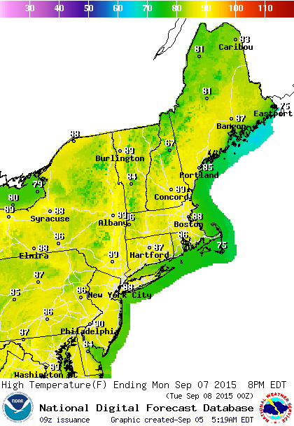
This is the last holiday weekend of the summer season and the holiday weekend forecast looks very good all the way around. Low humidity and sunshine will dominate the first 2 days of the holiday weekend. Monday Labor Day we see a return to very warm and more humid conditions and that sets us up for hot and humid weather for Tuesday through Thursday of next week.
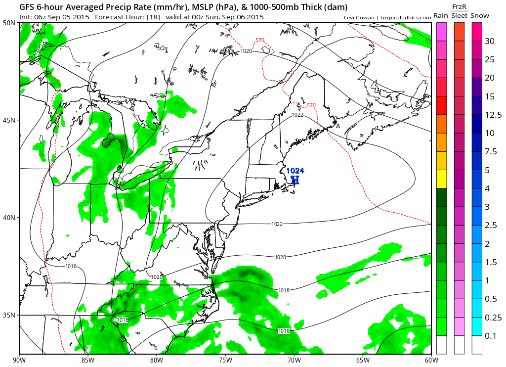
Dry air and high pressure is building down from New England. You can see the lines of equal pressure or isobars; there a are a few of them With high pressure to the north and lower pressures through the south, there will be a gusty wind from the east northeast today. If you are headed to the shore it means a moderate to high risk of rip currents today so check the marine and beach conditions on the marine forecast page.
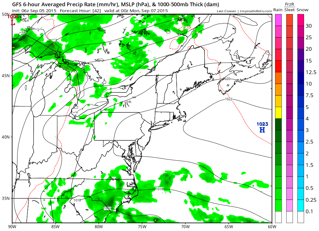
By Sunday afternoon the high will be shifting southward and offshore which lessens the wind issues at the shore. It also signals a warm up that will get into full swing on Monday. As far as rain goes it is either well to our north or well to our south. Even clouds will be few and far between this weekend.
For your local forecasts check on your specific zones for New York, New Jersey, Connecticut, Southeast Pennsylvania, South Central Pennsylvania, and Northeast Pennsylvania for specifics or download my weather app and subscribe for just 99 cents a month.