We will take the 90 degree weather into Thursday. Yesterday we indicated that it could stay hot right through the weekend as long as a back door cold front didnt drop southward. It appeared weak to me yesterday however models are little more robust with this backdoor and it looks like at least Friday and Saturday while warm, should be a little more reasonable in the temperature department. Still above normal but not going to 90. The heatwave streak of 90 might end at 5 on Thursday.
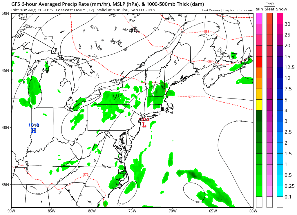
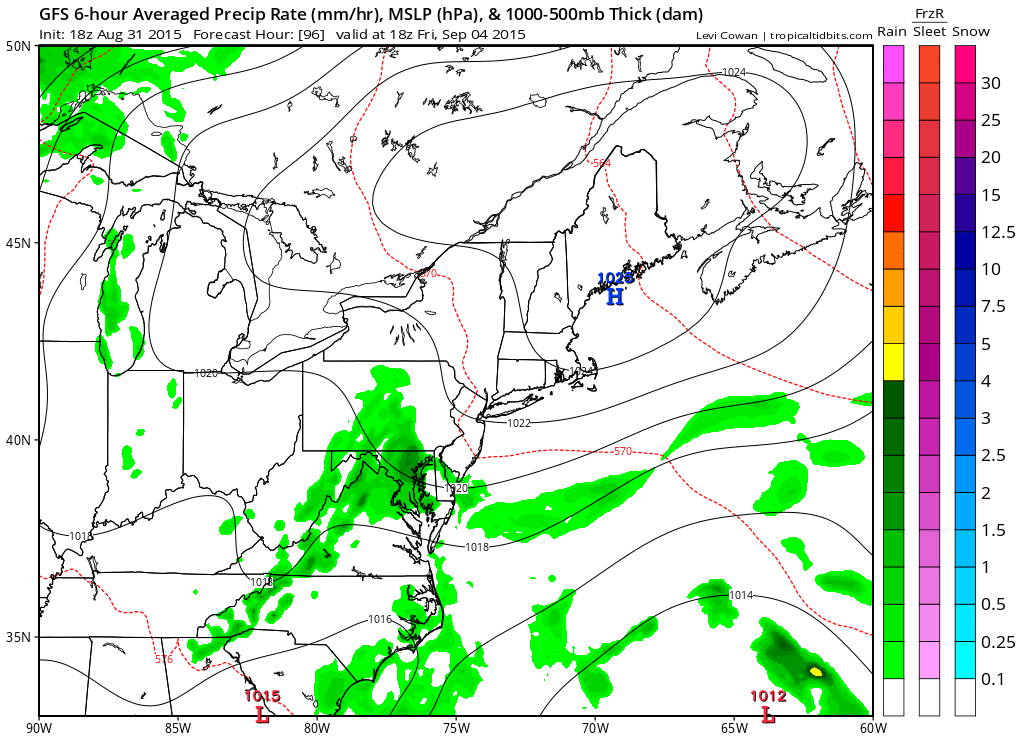
It appears that high pressure will build to the north and it should provide a decent push. The air is cooler which takes it 90 off the table for Friday. It will probably be more along the line of lower 80s. Intitally it would appear that the high would lodge in a position to produce cloud issues Friday into Saturday.
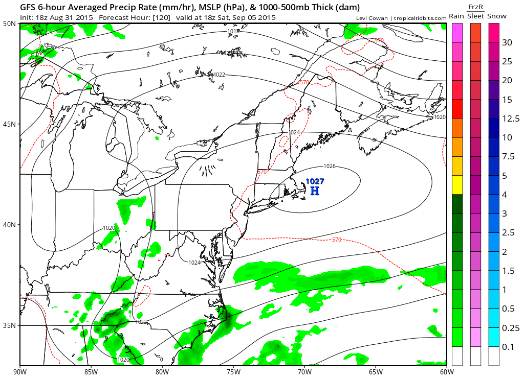
However the onshore flow is going to be limited as the high eventually pushes south and the onshore flow shifts well southward of our area over the weekend.
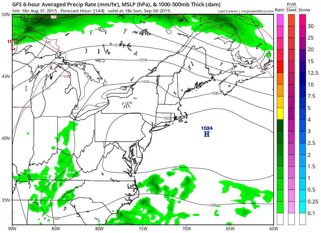
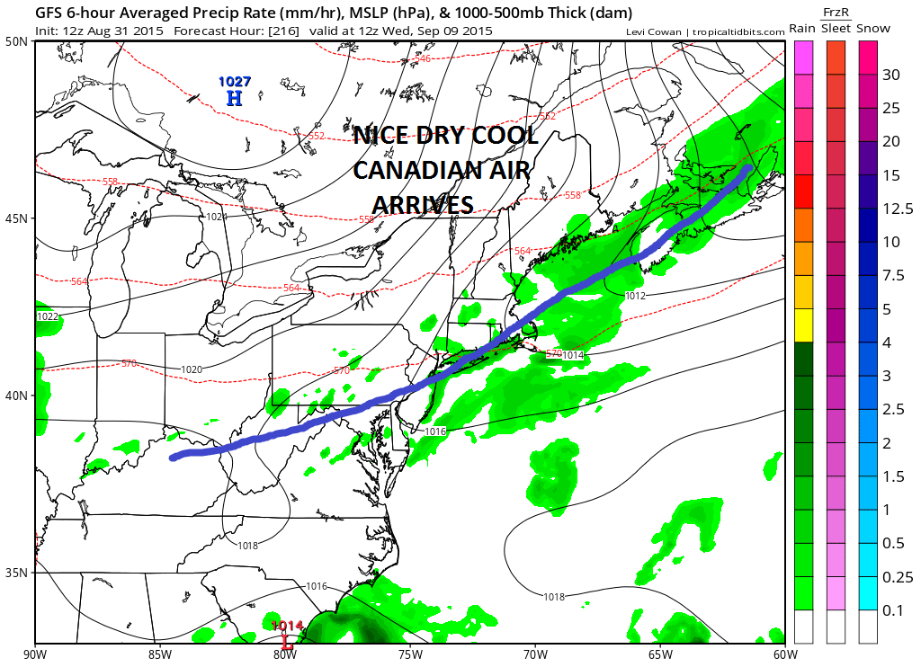
Beyond this period it looks like it turns very warm Sunday and very warm to hot for Monday Labor Day. The next cold front arrives for Wedneday and taht should cool it down nicely again. The middle of next week might start a pattern change that breaks down the ridge in the eastern states.