Winter Storm Watch Posted Large Area Of The Northeast Snow Forecast Maps Updated
Winter Storm Watch Posted Large Area Of The Northeast
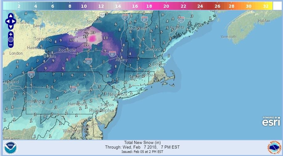
Snow Forecast Maps Updated
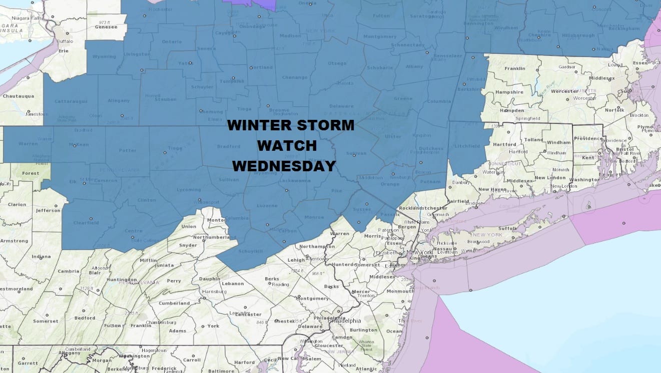
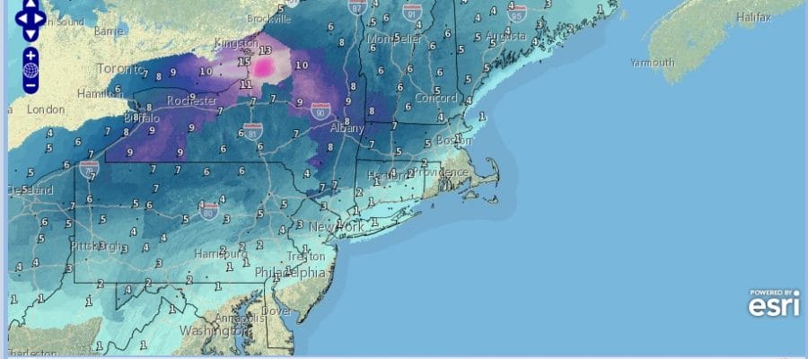
Winter Storm Watch is now posted for much of the Northern Pennsylvania north of Route 80, a portion of Northwest New Jeresy (Western Passaic Sussex Counties) the Hudson Valley along and north of Route 84 and Northwest Connecticut north of Route 84. This watch is posted for Wednesday February 7. Snow develops during the morning hours..later in the day in upstate NY and interior New England. The big question is the mixing line.
NAM MODEL WEDNESDAY CLICK TO ANIMATE
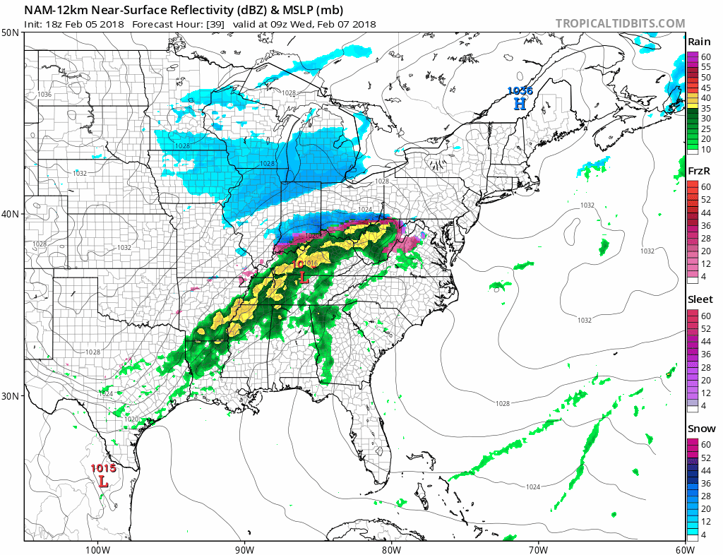
One of the things we will be watching closely is whether cold air becomes more important with this weather system Weather models are hinting at this idea and even in areas that are south of the watch area, there could be a quick burst of heavy snow before any change to rain takes place. Also areas along 84 could see a several hours of sleet and freezing rain after the change over.

GET JOE A CIGAR SO HE CAN RELAX!
NEW YORK CITY AND VICINITY SNOW

NEW YORK CITY & VICINITY ICE

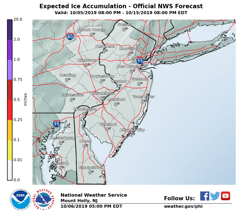
NEW JERSEY SE PA & VICINITY ICE
NEW JERSEY & PARTS OF NE PA

SOUTHERN AND SOUTHEAST NEW ENGLAND

NORTHERN NEW ENGLAND

WESTERN NEW ENGLAND

MIDDLE AND UPPER HUDSON VALLEY

CENTRAL NEW YORK & NE PA

WESTERN NEW YORK

CENTRAL & SOUTH CENTRAL PA

VIRGINIA & MARYLAND

DAILY NORTHEAST SNOWFALL

Please be advised that these are National Weather Service Forecast Maps and they auto update. Each office may update at different times and some offices are slower to update then others. Maps are usually updated before 5am and & 5pm however they may be updated at other times depending on forecast conditions. These are not my forecasts. My forecasts can be found on the JOE’S SNOWFORECAST PAGE. Individual forecasts for specific areas may also be found when conditions warrant on the my area forecasts. Those can be found on the website menu. Click on forecasts and then select your specific area.


