Winter Storm Warning Heavy Snow
Changing to Sleet & Rain Coast Later Today
Winter Storm Warnings are up for all off Pennsylvania, New Jersey New York, Connecticut, Long Island, Rhode Island & Massachusetts to the north and Maryland, Delaware, and Virginia to the south. Heavy snow is the story for today and if you stay all snow, you will wind up with a foot plus. Some areas along the coast from Long Island to New Jersey will undergo a change over to sleet and even in some coastal counties, rain. However before that happens we will see heavy accumulations of snow and it could sleet for several hours or more going into this evening. The National Weather Service snow forecast map is above and I think their numbers now better reflect what is happening with respect to mid level warming at 10,000 feet.
SATELLITE WITH LIGHTNING STRIKES
WEATHER RADAR
Super short range weather models show most areas will see snow for at least 8 hours and snowfall rates could approach 1 to 2 inches an hour or more in some places. Some thundersnow is possible this afternoon as the heavy snow moves northward and the upper atmosphere responds to very strong dynamics overhead.
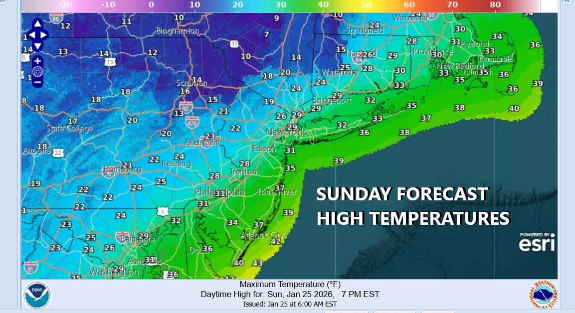
Models all show a change to sleet as well as the change to rain for the southern half of New Jersey and perhaps briefly late this evening on Eastern Long Island. Snow has come in faster this morning and will go out a little faster tonight between 8pm and midnight from southwest to northeast. As for temperatures today, except for the coast where it could rise above freezing, most places will stay well below freezing.
Whatever is going on this evening it will make its exit from west to east with improving weather conditions overnight. Very cold temperatures will be with us for the week ahead with sunshine for Monday but most places will see temperatures not get out of the 20s and by Tuesday morning, lows will be in the single digits to low teens. Tuesday will be sunny but very cold with highs just in the upper teens and lower 20s and singile digits to near zero Tuesday night into Wednesday morning. The Joe & Joe Weather Show Podcast will be live today at 12noon on Youtube with all the latest and again tonight at 7:35pm
BE SURE TO DOWNLOAD THE FREE METEOROLOGIST JOE CIOFFI WEATHER APP &
ANGRY BEN’S FREE WEATHER APP “THE ANGRY WEATHERMAN!
MANY THANKS TO TROPICAL TIDBITS FOR THE USE OF MAPS
Please note that with regards to any severe weather, tropical storms, or hurricanes, should a storm be threatening, please consult your local National Weather Service office or your local government officials about what action you should be taking to protect life and property.