
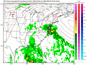
The weekend outlook is going to hinge on a system off the southeast coast of the United States moving northward. Up until now it has been wise to go with which every model was showing no rain over the last few weeks because at the end of the day, it became the model that was correct. Now it seems models are coming together on the idea that there will be some rain here beginning Sunday afternoon across Southern New Jersey and Southeastern Pennsylvania and then spreading northward Sunday into New York City and Southern New England Sunday night. The only model now that is the outlier is the European which is much more suppressed and much further south which gives us pause here but right now it appears that it 3 against 1 on this so we are starting to lean toward the idea that after 14 days in a row of no rain, it its time. While that is not exactly a scientific approach to this I am going to go with the other models but very cautiously. We can say that Saturday into Sunday morning looks dry for all areas as does Friday as a new high builds in and an onshore flow gets established again.
The main difference between the GFS and the European is that the European holds more that high off the New England coast further north which suppresses moisture and prevents it from lifting northward. The flow aloft on both models is similar however the European has no real surface low that forms unlike the other models.
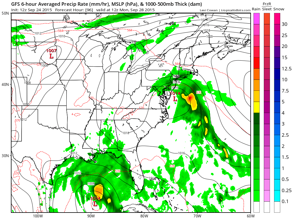 With regards to rainfall amounts the northern areas will get much less as the heaviest rains of 1 inch plus are shown to be well south of New York City and Southern New England. The biggest rainfall amounts are well south int Virginia out to Delmara.
It is nagging at me that the European does not show any rain anywhere close. That model has no rain anywhere through Sunday night and then actually carries rain north and northeast around the high into Eastern Pennsylvania and elongates it over Northern New Jersey into Southern New England. On this model it will be completely dry into Monday morning in most areas. The other important difference between the European and the other models is that the GFS and Canadian have implications for coastal areas with regards to marine conditions, rough ocean seas, small craft advisories and winds that could even gust to gale force offshore. Bottom line is that we are pretty certain through Saturday night and the confidence after that drops in terms of the forecast for Sunday into Monday but I am going to include rain. The surface low development is key to all this so that is the factor we will be watching closely.


