
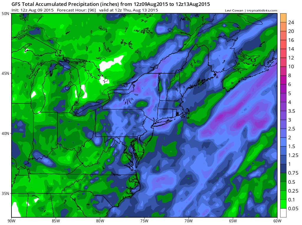
 The latest models are trending back to the idea that we have held for the last few days. It appears that the rain will be substantial and on the order of at least 1 to 2 inches throughout the area. The bulk of this rain will be for late Monday night until late Tuesday as a cold front comes through. The late afternoon GFS run was faster and less robust again but we tend to lean to the idea that this time it will be wrong and that there should be enough rain to put a dent in the rainfall deficit.
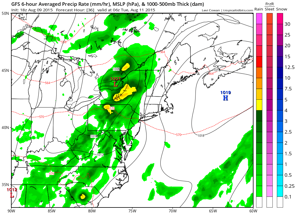

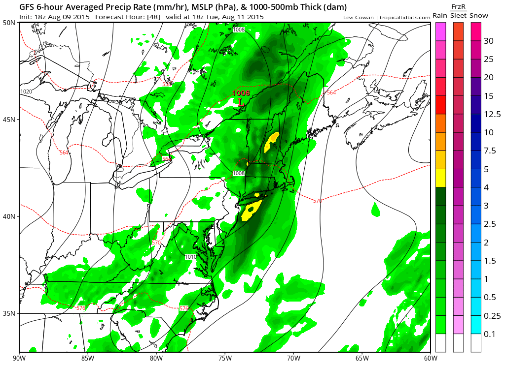
Speed here is important. If it winds up being faster it will cause the rain to total on the low end of expectations as the front will not be able to feed on the daytime heating that would normally occur. We will continue to monitor this overnight and on Monday.
Meanwhile nothing more than a few passing clouds tonight intermixed with clear skies and lows in the 60s to near 70 in most areas. Monday clouds and some sun with more sun to the east. Highs generally will be in the upper 70s to lower 80s from coast to inland spots. Dry air and sunshine return on Wednesday.