
Weather Forecasting Models: Rain Tuesday & More Active Weather Ahead
A new week begins with sunshine with some arriving high clouds later in the day. The core of the cool air moves out but we have an onshore flow developing which will bring in moisture plus we have the rare low coming up the coast from the Gulf Of Mexico. This is a non tropical feature and is completely separate from any tropical storm development that might occur off the southeast coast of the US. Weather forecasting models are all pretty consistent with a low up the coast but vary in precipitation amounts.
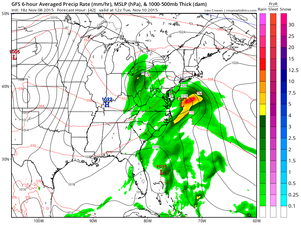
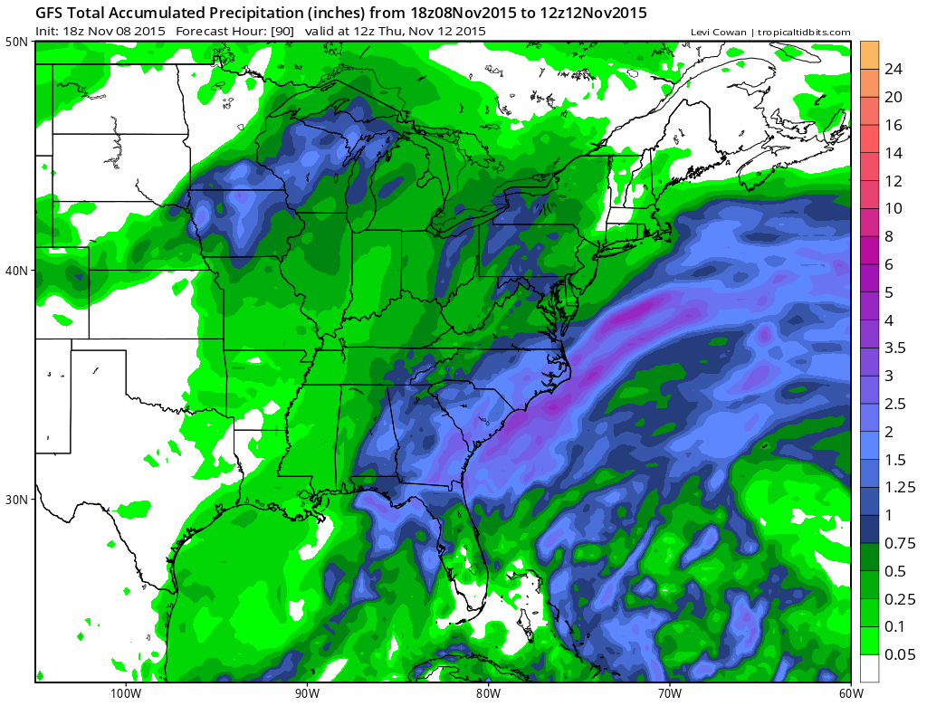
The gfs weather foercasting model would bring rain here sometime late Monday night and it might still be lingering early Wednesday morning. This low is going to be a separate feature as the tropical system will exist inside the “warm sector” of this low. So it should ride out east northeast and out to sea having no consequence to the US coastline.
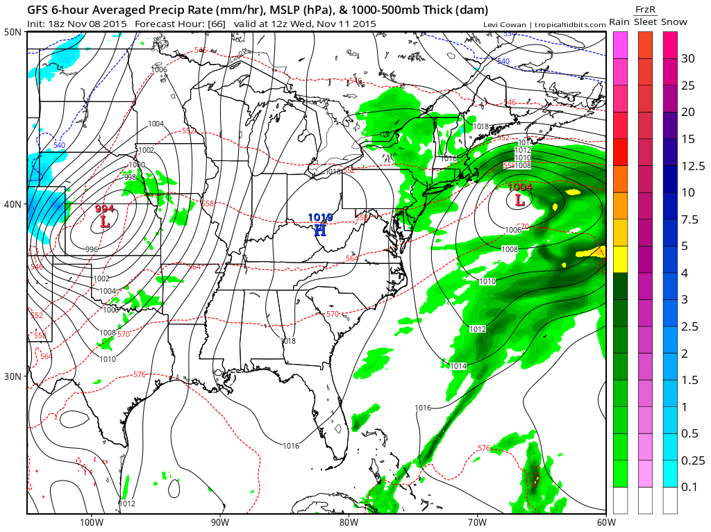
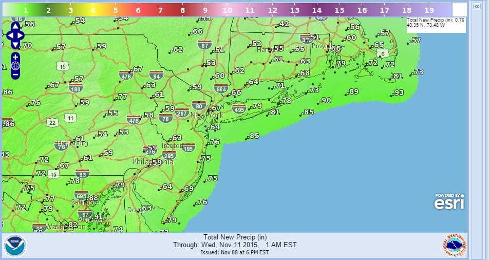
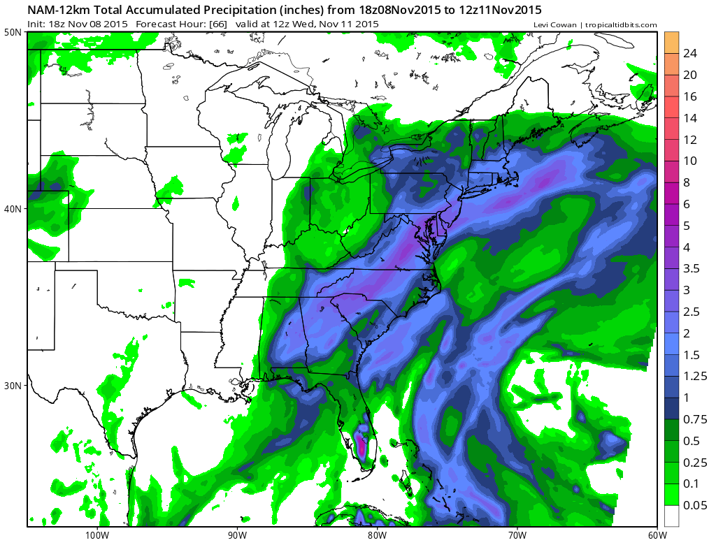
Weather forecasting models have their usual differences with rainfall amounts with the GFS model the least aggressive while the NAM model and some degree the Canadian model grind out three quarters of an inch to a inch of liquid.
The issue is that the gfs has a flatter look to it all and I’m thinking this could be a little more robust than advertised since that has been the trend of weather forecasting models over the last several days.
It looks like we may be at the beginning of a much more active period. We have gotten used to weather systems coming through once or twice a month. Now it looks like we c0uld start to see things happen in terms of precip at a more frequent rate. We have another front approaching for later Thursday and Thursday night and that could produce some showers followed by colder air that brings temperatures back to normal again for Friday and the weekend.
TROPICAL STORM DEVELOPMENT POSSIBLE NEXT 2 DAYS


