
There have been no important changes in the forecast. The pattern has at least afforded a certain level of simplicity when it comes to the forecast. Cold front followed by cooler followed by cold front followed by cold followed by warm up. The weather across much of the United States is unusually calm and has been this way for many days now. No big storms are around. No small ones either. Even for mid October it seems unusually quiet.
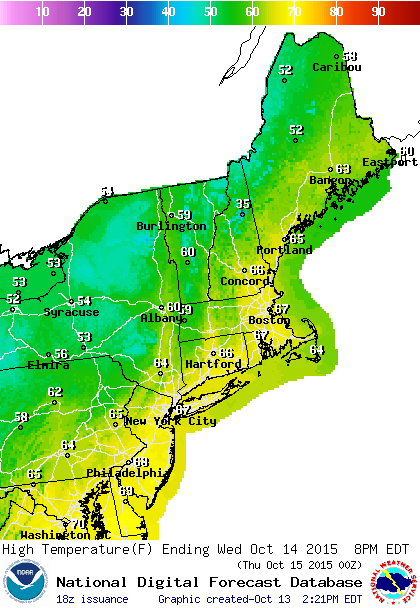
The first front is passing through. There could still be a shower this evening but beyond that skies will clear tonight as temperatures drop in to the mid 40s to low 50s. Back to sunshine and some clouds for Wednesday with highs in the mid to upper 60s on average. Thursday looks good with sunshine and temps a few degrees cooler

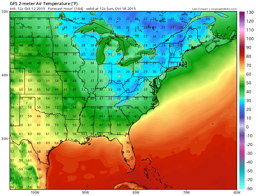
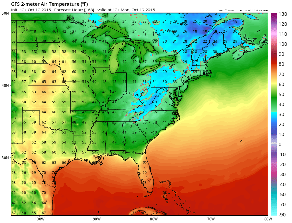
Friday comes the next colder front but the moisture sources are essentially cut off so Im thinking not much more than a shower. Then in comes the cold air for the weekend. Sunday and Monday morning look like the 2 nights for frosts and freezes away from normally warmer urban locations and the immediate coast. Sunday night will depend on sky and wind conditions. If it is clear and it should be with light winds then there will be a widespread frost again Monday morning. The core of the cold air begins to retreat late Monday and Monday night. Highs will be confined to the low to mid 50s Saturday through Monday before a rebound back into the 60s.
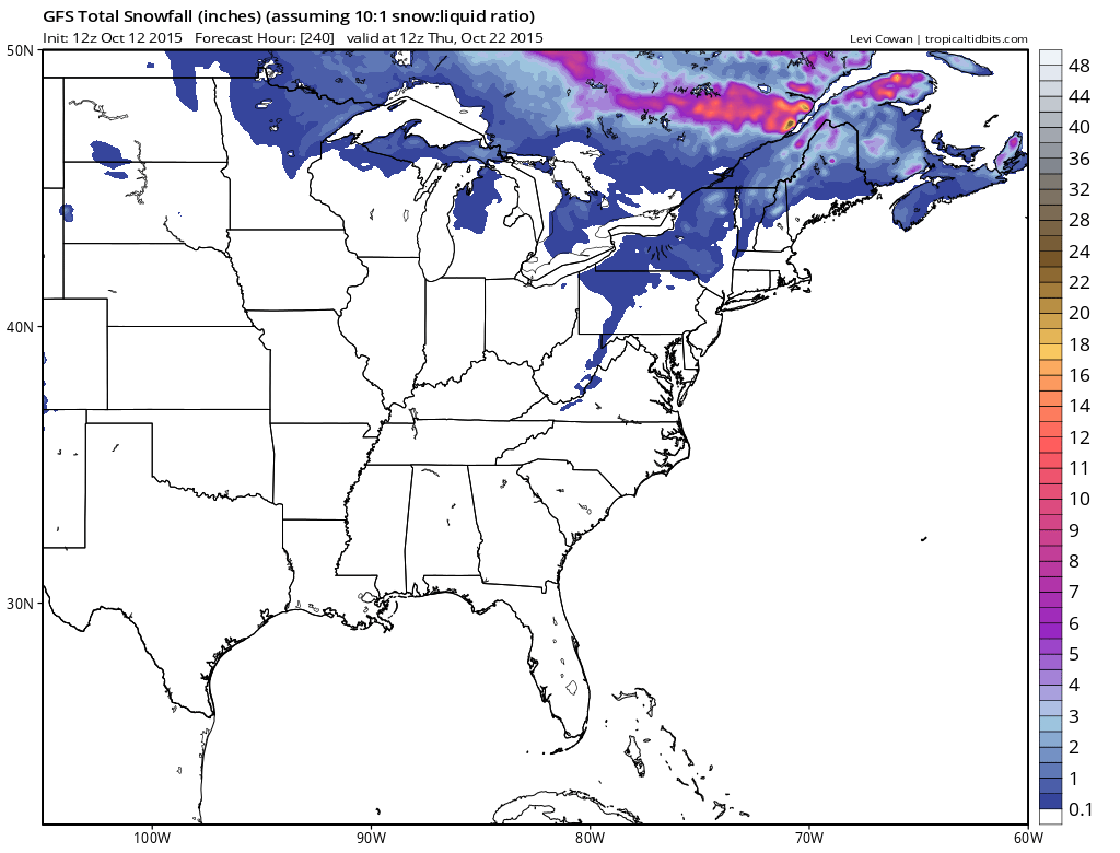
Upstate NY, Northwest Pennsylvania higher elevations and Northern New England could see their first snow of the season this weekend. Not much has changed from that regard. It is a cheap thrill the way it looks and nothing really extraordinary. Low level will probably see rain showers or graupal.
JOESTRADAMUS will review the long range this evening. No big storms are on the horizon.
While things are calm, no better time to download my app and subscribe to my forecasts. The app is free and a subscription to New York, New Jersey, Southern New England and Eastern Pennsylvania Weather is just 99 cents a month.


