Very Cold Weekend Rain Or Snow Chance Tuesday Dry Cold Through Friday

Weather in 5/Joe & Joe Weather Show Latest Podcast
Very Cold Weekend Rain Or Snow Chance Tuesday Dry Cold Through Friday
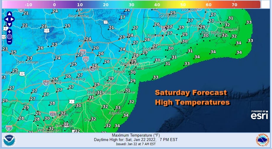
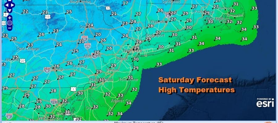
We are at a weekend in the dead of winter and it will play out that way from start to finish. We have the core of this current cold air mass across the Northeast and Mid Atlantic. A snow and ice storm in the Carolinas is now out to sea and moving away. It is no threat here obviously. We can just go about are Saturday which will feature sunshine and highs in the 20s. There are no issues to worry about today. The radars are nice and quiet. The exception is over Southeastern New England and around Cape Cod where ocean effect snows have been going on since yesterday and we can still see that going on along with the southern system radar echoes well to the southeast of the coast.
SATELLITE

WEATHER RADAR

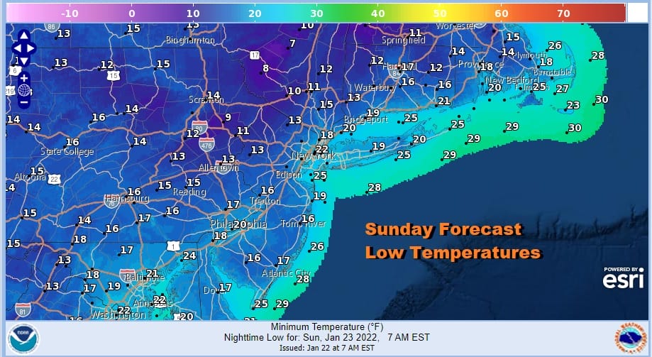
Skies will be mostly clear for tonight and it won’t be as cold as the past two nights. The cold high disappears and we see out wind turn to west and south west. Temperatures will hold up overnight and there won’t be much wind so it should be easier to take. Overnight lows will be mostly in the teens to near 20 with only the coldest spots north and west of the coast dropping under 10.
Sunday we have a weak cold front that is going to be approaching and moving through. The front has some snow showers with it as it crosses Ohio and Pennsylvania. Some of those snow showers could survive the trip over the mountains to we will throw in the chance for a passing snow shower. Otherwise we should have a mix of sun and clouds Sunday with highs in the 30s.
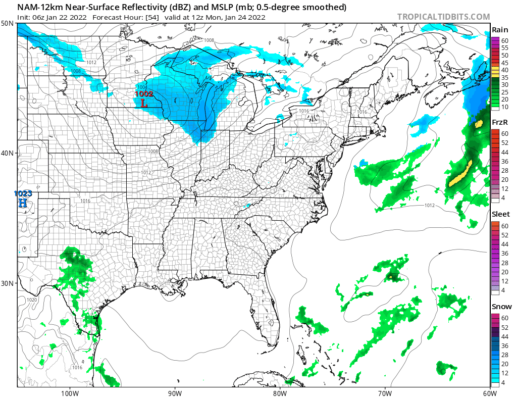
Behind the front the air is only slightly colder than the air ahead of it so don’t expect to see any sort of radical change for Monday. Sunshine will be around Monday. Highs will be in the upper 20s to lower 30s. Two systems show up on the weather map for Tuesday. First we have an arctic front coming in from the northwest. We also have a low moving east across the Gulf States. The upper flow remains very broad west southwest so the Gulf low moves east northeast and passes well to the south. Some of that moisture tries to move northward with only limited success. That leaves us with the arctic front that will move through. We will throw in the chance for a little rain (or a mix) near the coast and little snow inland late Tuesday into Tuesday evening. I don’t think from what I’m seeing right now it is anything of concern. The rest of the week looks dry and very cold as another arctic high moves southeast in the Eastern US. Weather models for the last several days have been focusing on next weekend as a possibility for storm development in the Eastern US but as usual 7 days out there isn’t much clarity on how this all evolves or even if we get a storm to deal with at all. If models start zeroing in with more consistency then we will start discussing this either tomorrow or Monday.
BE SURE TO DOWNLOAD THE FREE METEOROLOGIST JOE CIOFFI WEATHER APP &
ANGRY BEN’S FREE WEATHER APP “THE ANGRY WEATHERMAN!

MANY THANKS TO TROPICAL TIDBITS & F5 WEATHER FOR THE USE OF MAPS
Please note that with regards to any severe weather, tropical storms, or hurricanes, should a storm be threatening, please consult your local National Weather Service office or your local government officials about what action you should be taking to protect life and property.


